Tokyo Map Art
Tokyo's map reveals a city that rejected the grid entirely — ancient ward boundaries spiral outward from the Imperial Palace grounds, with rail lines stitching neighborhoods together in concentric arcs. The Sumida River cuts through the eastern side, defining Asakusa and Chiyoda, while the Tama River forms the southwestern edge. Twenty-three special wards radiate from the center, each with its own street logic, creating a layered geography legible only to those who understand how Tokyo grew in waves around its feudal core.
35.6762° N, 139.6503° E
Tokyo City Palettes
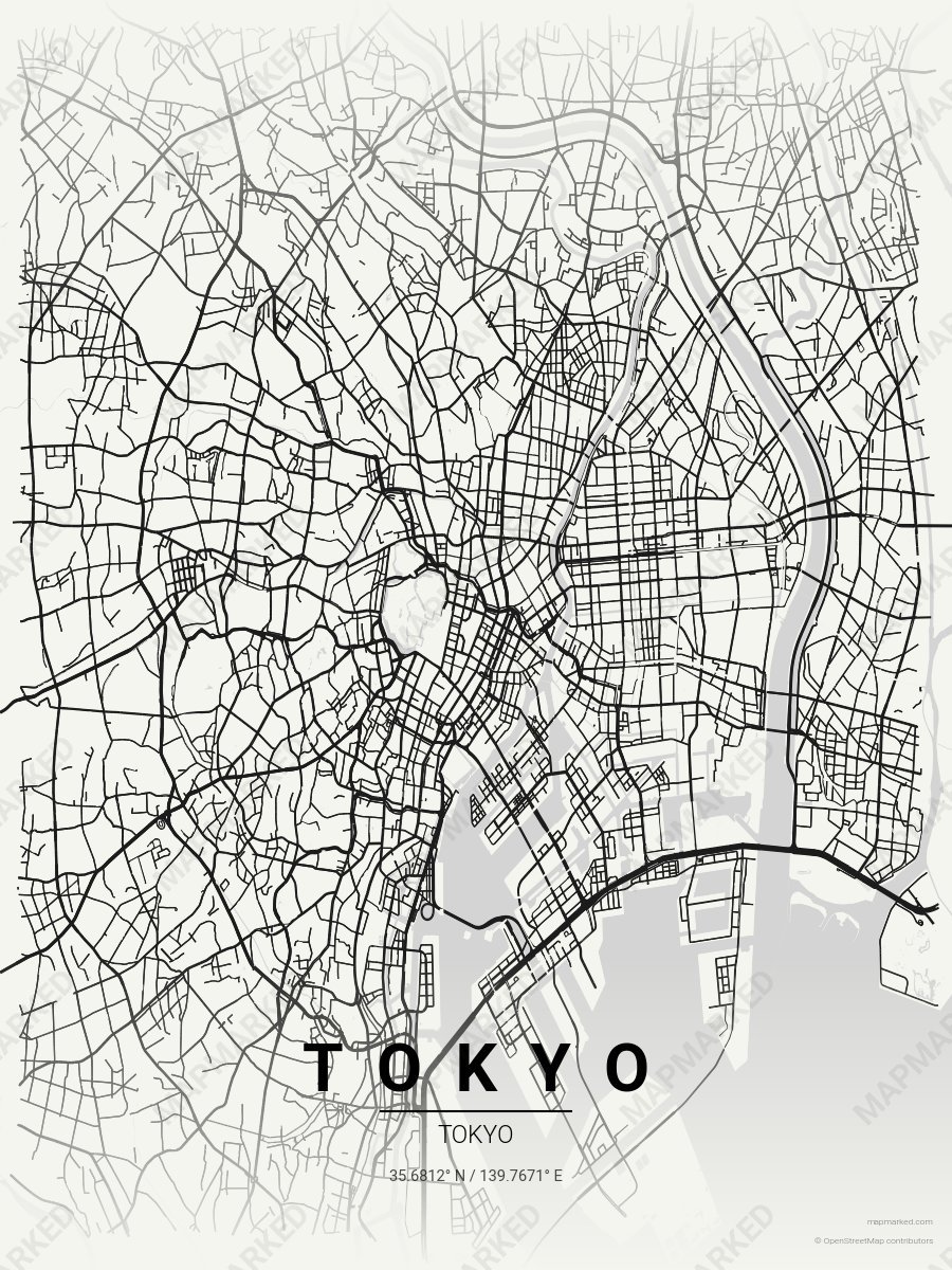
Tokyo Monochrome Zen
Ivory base with monochrome zen roads. A palette for Zojoji Temple mornings and Imperial Palace afternoons.
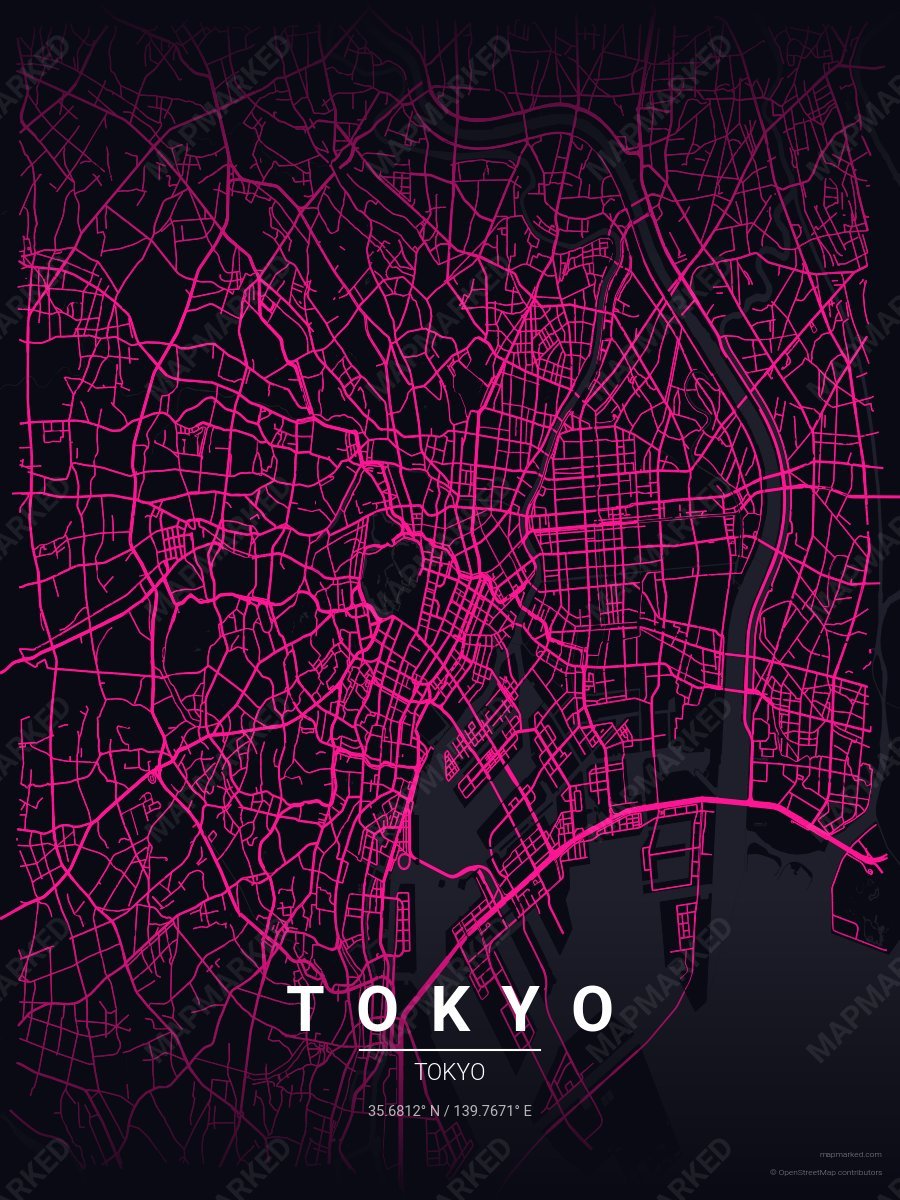
Tokyo Shibuya Neon
Midnight base with Shibuya neon roads. A palette for scramble-crossing nights and Shinjuku evenings.
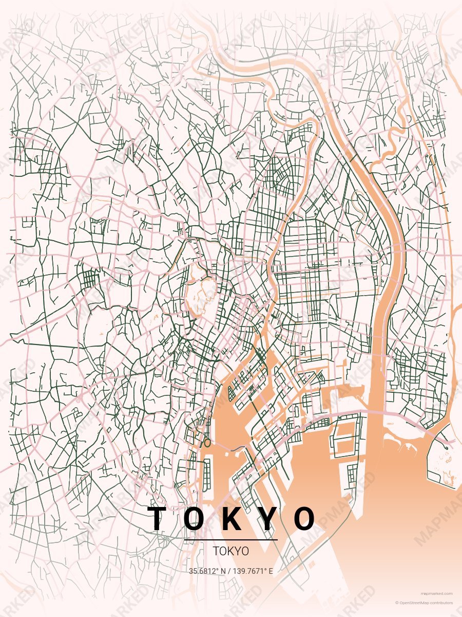
Tokyo Sakura
Blossom cream base with sakura pink roads. A palette for Meguro River April walks and Ueno Park afternoons.