Sydney Map Art
Sydney's map is defined by Port Jackson, whose intricate headlands and inlets create the harbor's distinctive shape, with the city's grid spreading inland from the water. The Parramatta River branches west through the urban core, while the Blue Mountains form a hard edge to the west and the Pacific coastline cuts an irregular profile of beaches and sandstone cliffs to the east. Rail lines radiate from Central Station in concentric arcs, following the topography of ridges and valleys that slope toward the harbor.
-33.8688° S, 151.2093° E
Sydney City Palettes
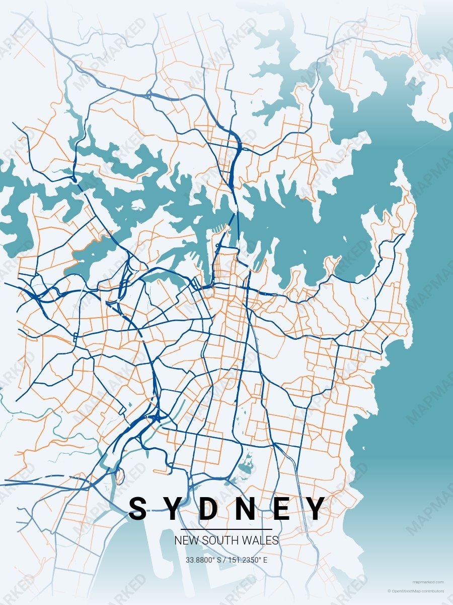
Sydney Bondi Coast
Pale sky base with Bondi coast navy roads and harbor sunset orange accents. A palette for Bondi-to-Coogee walks and Sydney sunset swims.
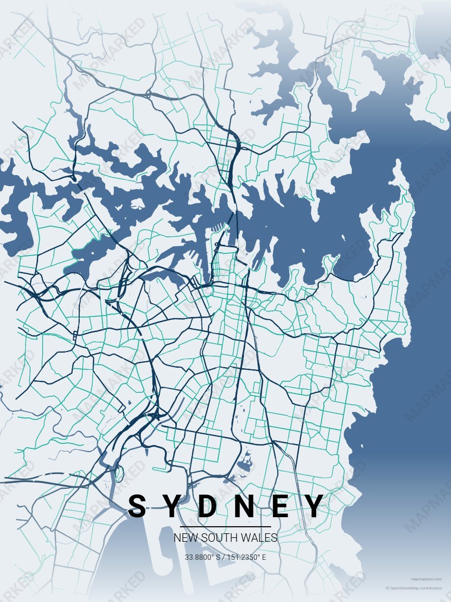
Sydney Harbour
Pale mist base with Sydney Harbour navy roads and Bondi turquoise accents. A palette for Opera House afternoons and Bondi Beach mornings.
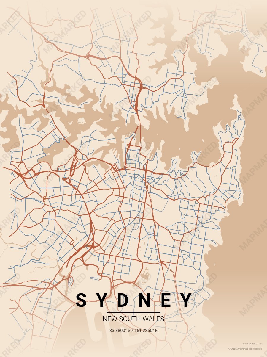
Sydney Red Rock
Warm sand base with red rock roads and Blue Mountains haze accents. A palette for Blue Mountains day trips and Hawkesbury afternoons.