Seville Map Art
Seville's map shows the Guadalquivir River looping through the city in a dramatic horseshoe bend, with the historic center anchored on the eastern bank and the former expo grounds sprawling across the western floodplain. The street grid tightens around the cathedral and Alcázar palace, then loosens into irregular Moorish blocks in the Barrio Santa Cruz, while the river's oxbow curves create natural boundaries that shaped centuries of growth.
37.3891° N, 5.9845° W
Seville Sports Palettes
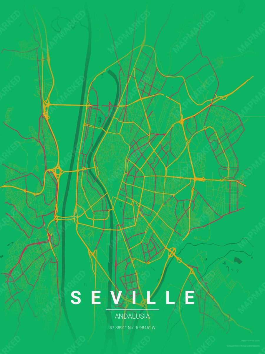
Seville Soccer 1
Green base with gold primary roads and red accents. A palette for Seville Spanish soccer fans and game-day prints.
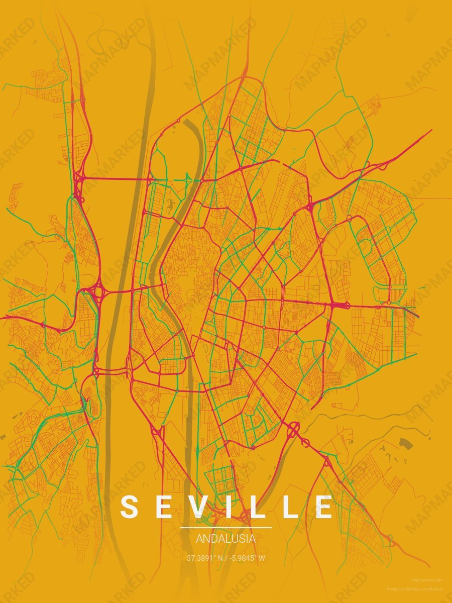
Seville Soccer 2
Gold base with red primary roads and green accents. A palette for Seville Spanish soccer fans and game-day prints.
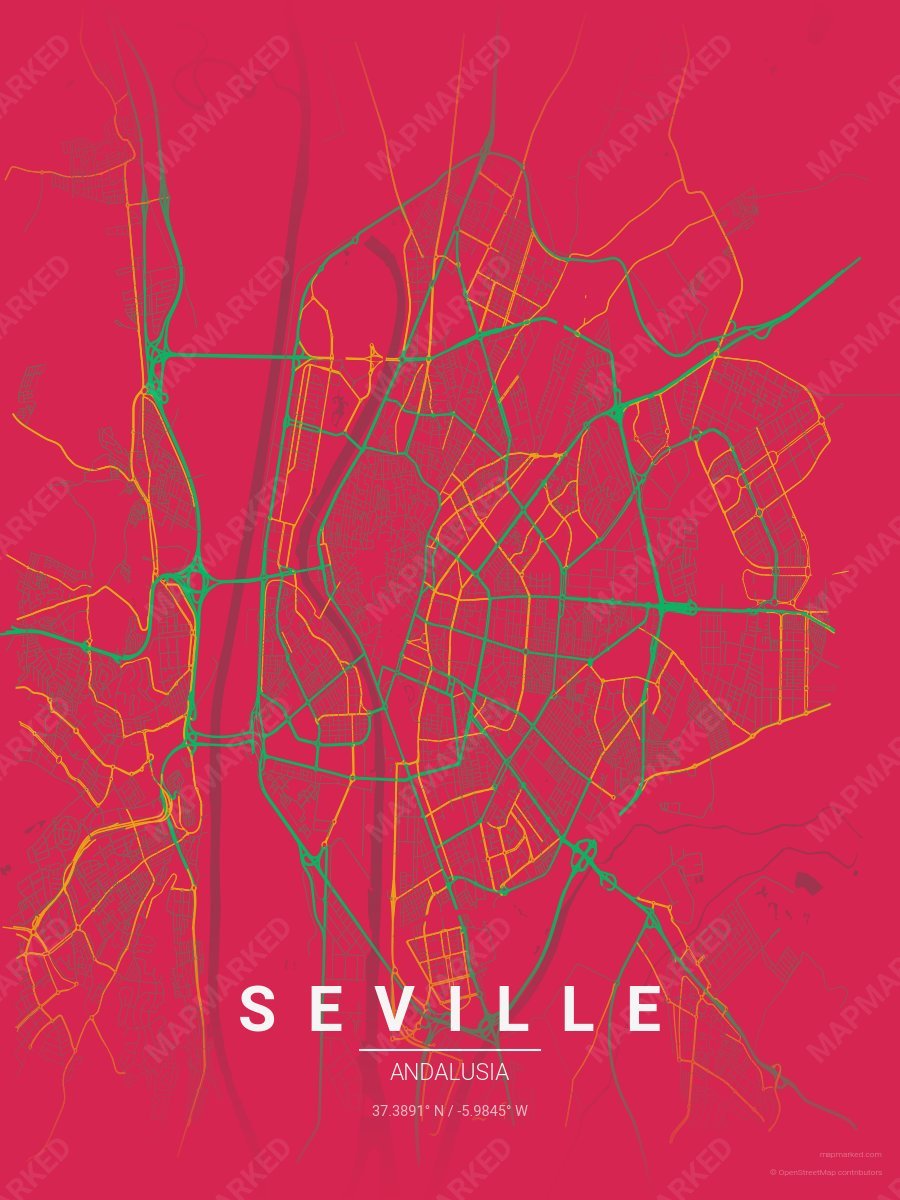
Seville Soccer 3
Red base with green primary roads and gold accents. A palette for Seville Spanish soccer fans and game-day prints.
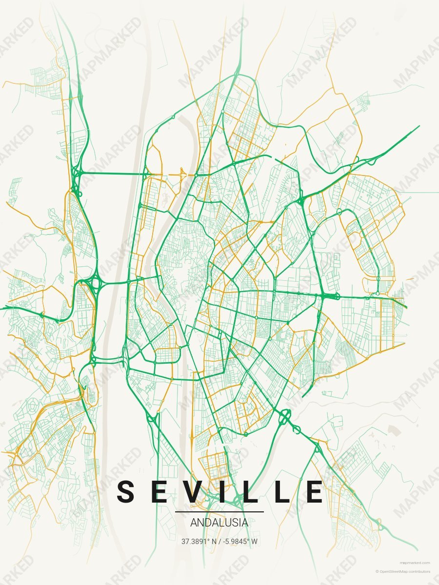
Seville Soccer 4
Cream base with green primary roads and gold accents. A palette for Seville Spanish soccer home prints and gallery walls.
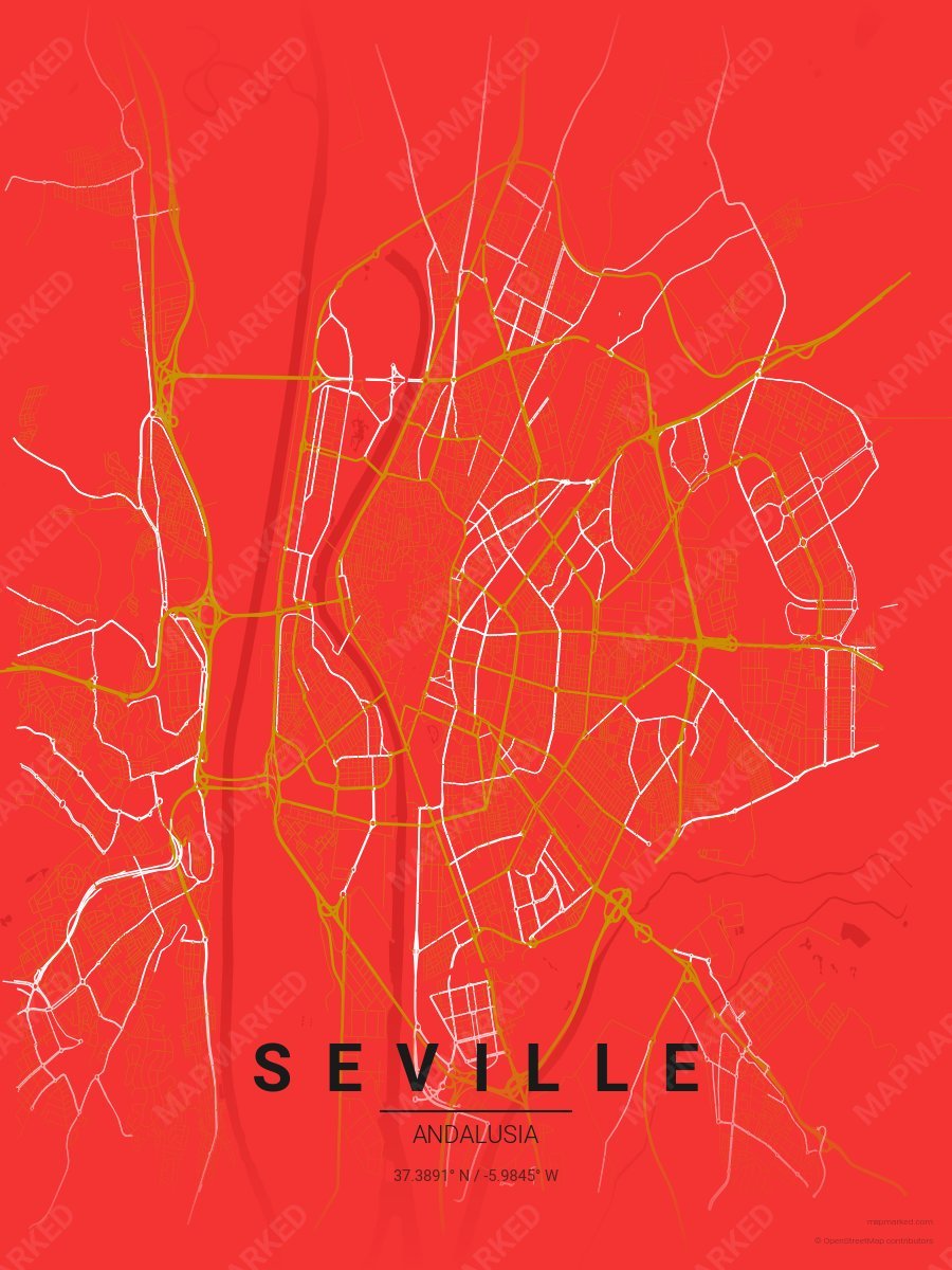
Seville Soccer 5
Red base with gold primary roads and white accents. A palette for Seville Spanish soccer fans and game-day prints.
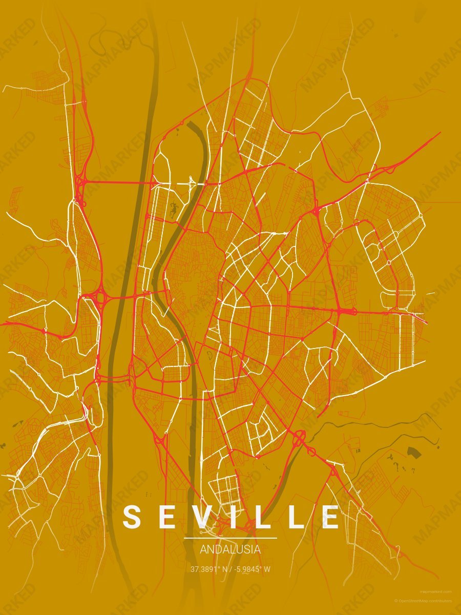
Seville Soccer 6
Gold base with red primary roads and white accents. A palette for Seville Spanish soccer fans and game-day prints.
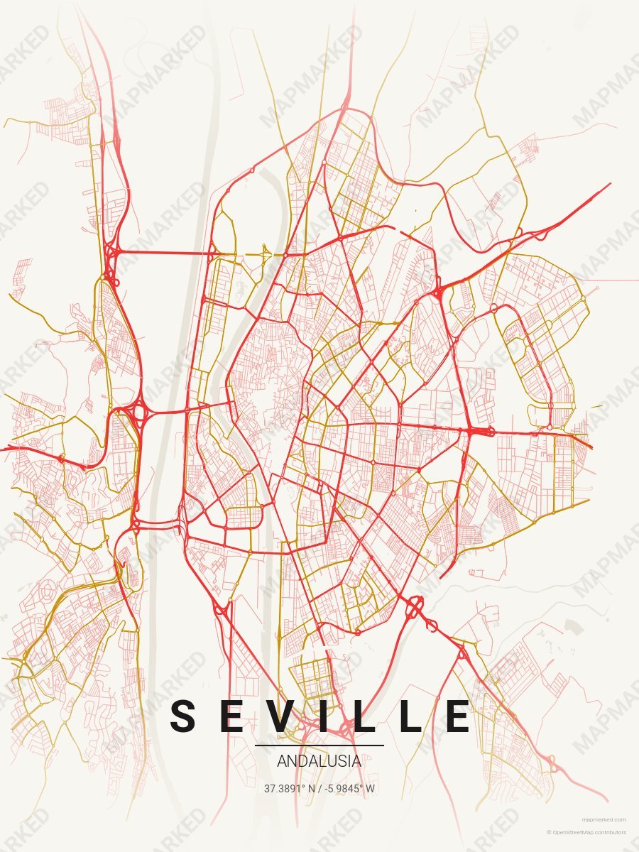
Seville Soccer 7
Cream base with red primary roads and gold accents. A palette for Seville Spanish soccer home prints and gallery walls.