Saint Paul Map Art
Saint Paul's street grid tilts at a 45-degree angle to the Mississippi River, creating a diamond pattern that breaks the cardinal alignment of most Midwestern cities. The river itself curves sharply along the city's eastern edge, with the Minnesota River joining from the south, and Summit Avenue traces the bluff line above the gorge, marking the city's spine. Downtown sits in the river bend between these two waterways, while the radial avenues from the Capitol spread outward like spokes, interrupting the offset grid.
44.9537° N, 93.0900° W
Saint Paul Sports Palettes
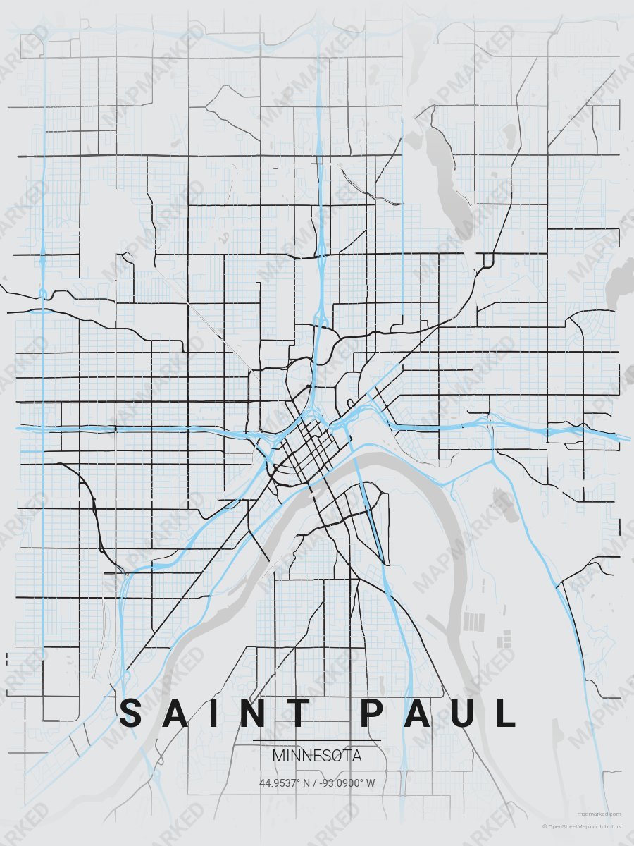
Saint Paul Soccer 1
Gray base with blue primary roads and black accents. A palette for Saint Paul soccer fans and game-day prints.
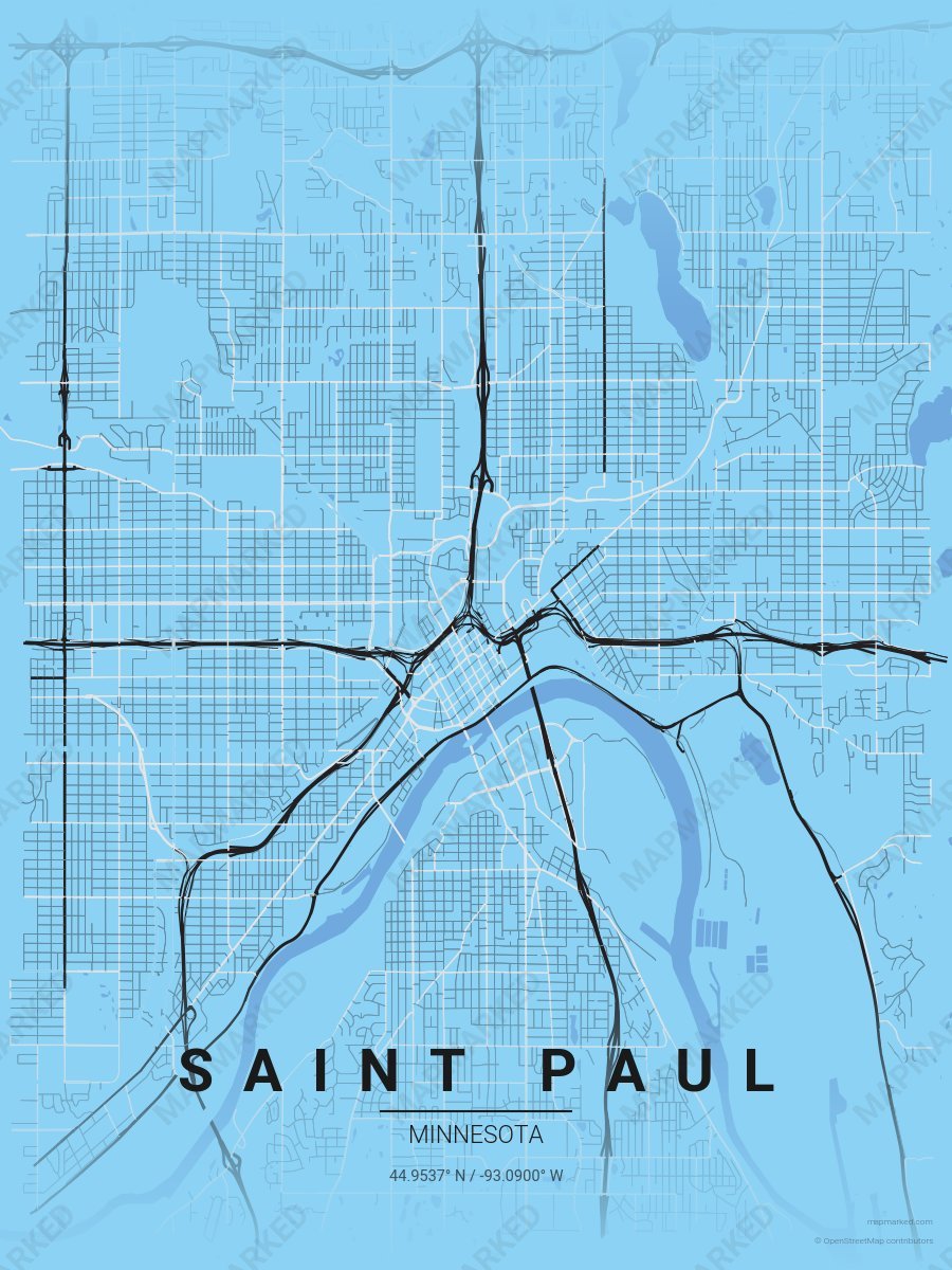
Saint Paul Soccer 2
Blue base with black primary roads and gray accents. A palette for Saint Paul soccer fans and game-day prints.
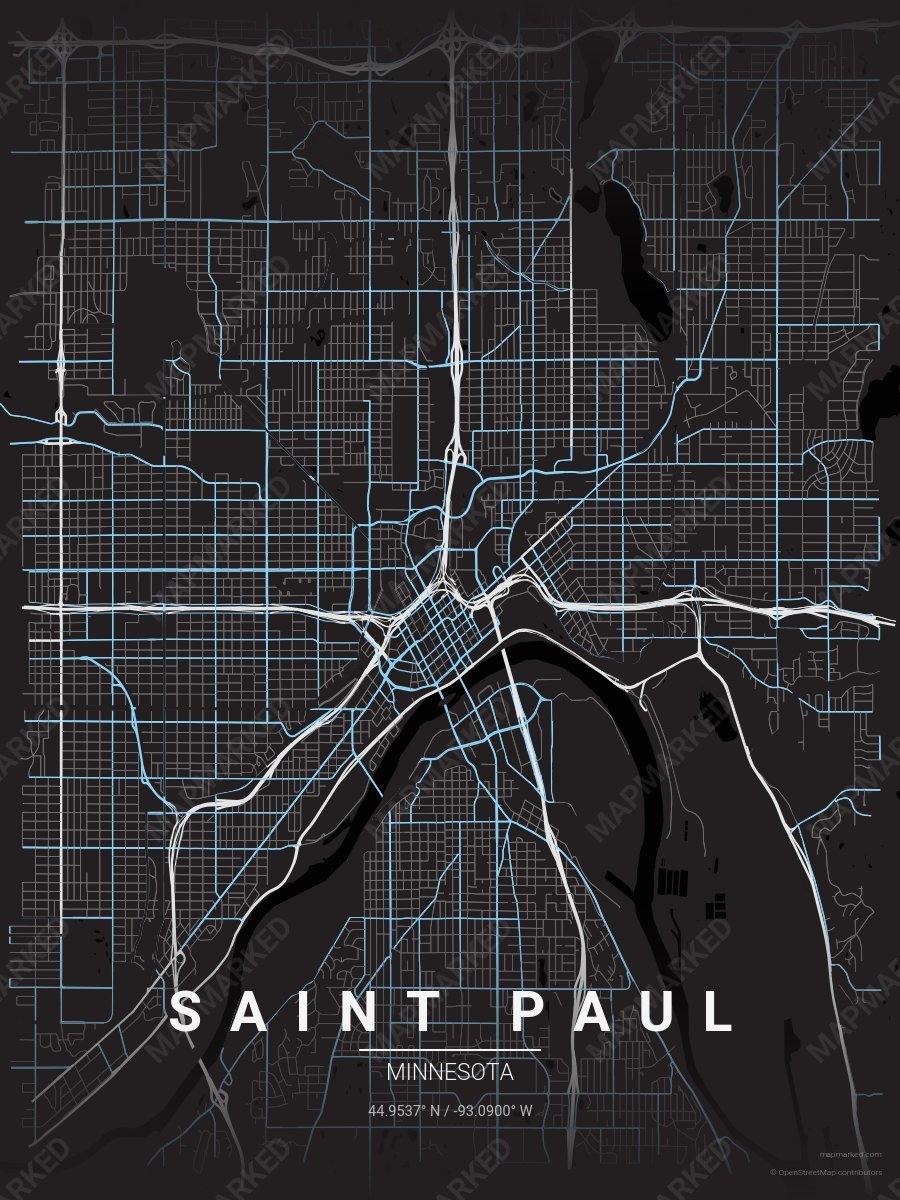
Saint Paul Soccer 3
Black base with gray primary roads and blue accents. A palette for Saint Paul soccer fans and game-day prints.
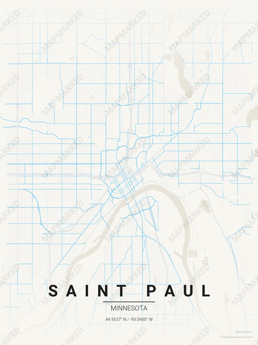
Saint Paul Soccer 4
Cream base with gray primary roads and blue accents. A palette for Saint Paul soccer home prints and gallery walls.
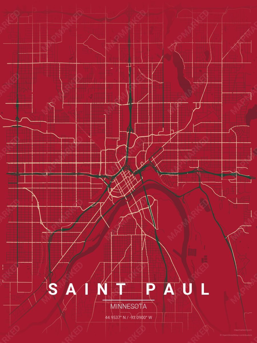
Saint Paul Ice 1
Red base with green primary roads and wheat accents. A palette for Saint Paul hockey fans and game-day prints.
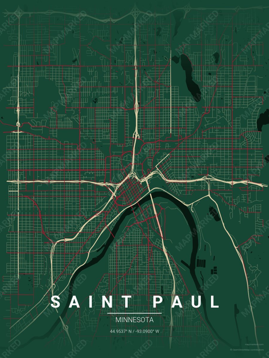
Saint Paul Ice 2
Green base with wheat primary roads and red accents. A palette for Saint Paul hockey fans and game-day prints.
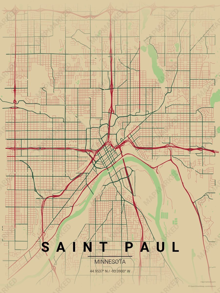
Saint Paul Ice 3
Wheat base with red primary roads and green accents. A palette for Saint Paul hockey fans and game-day prints.
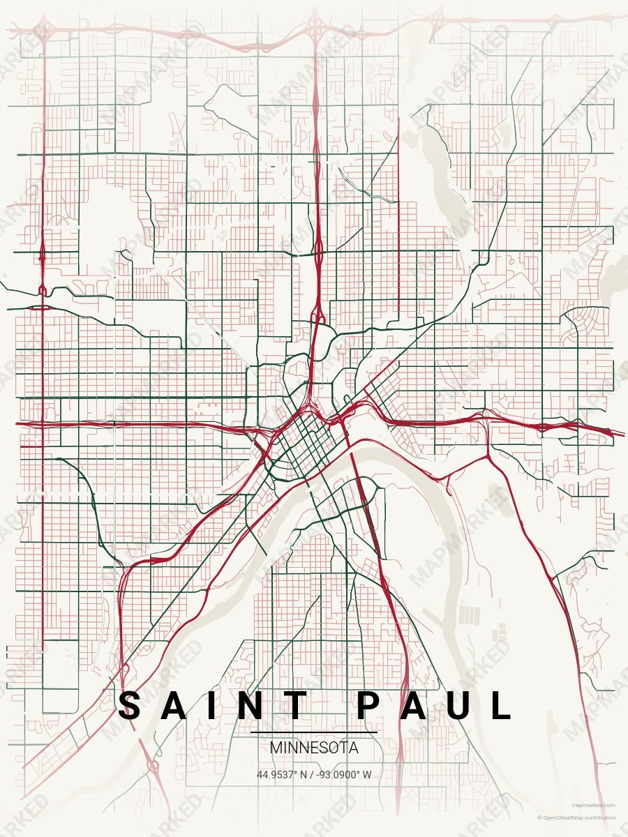
Saint Paul Ice 4
Cream base with red primary roads and green accents. A palette for Saint Paul hockey home prints and gallery walls.
Minnesota University Palettes

Minneapolis School Spirit 1
Maroon base with gold roads. A palette for Minneapolis college sports fans and campus prints.

Minneapolis School Spirit 2
Gold base with maroon roads. A palette for Minneapolis college sports fans and campus prints.

Minneapolis School Spirit 3
Cream base with maroon primary roads and gold accents. A palette for Minneapolis college sports home prints and campus walls.