Rome Map Art
The Tiber River winds through Rome in a series of tight loops, creating the natural boundaries that shaped the city's growth for millennia. Ancient roads radiate outward from the historic center—the Via Appia, Via Flaminia, and Via Salaria cutting straight lines across the landscape—while the newer grid of the Prati district sits north of the river like a planned interruption. Seven hills rise and fall across the city's eastern half, their ridgelines still defining neighborhood names and street patterns today.
41.9028° N, 12.4964° E
Rome City Palettes
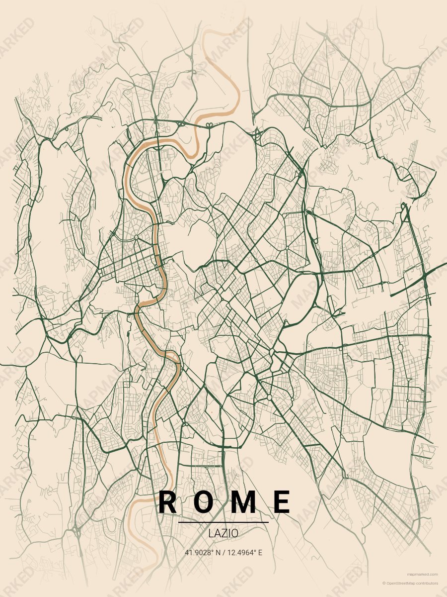
Rome Colosseum
Warm sand base with Colosseum stone roads. A palette for Palatine Hill afternoons and Roman Forum mornings.
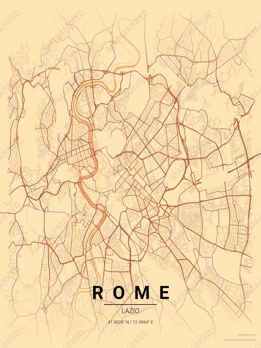
Rome Trastevere
Peach cream base with Trastevere roads. A palette for Via della Lungaretta evenings and Campo de' Fiori mornings.
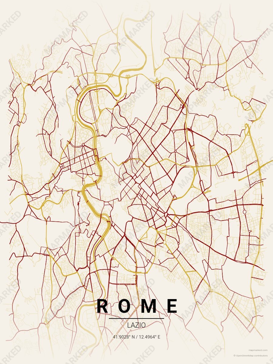
Rome Vatican Gold
Champagne base with Vatican gold roads and vestment red accents. A palette for Sistine Chapel afternoons and St. Peter's evenings.
Rome Sports Palettes
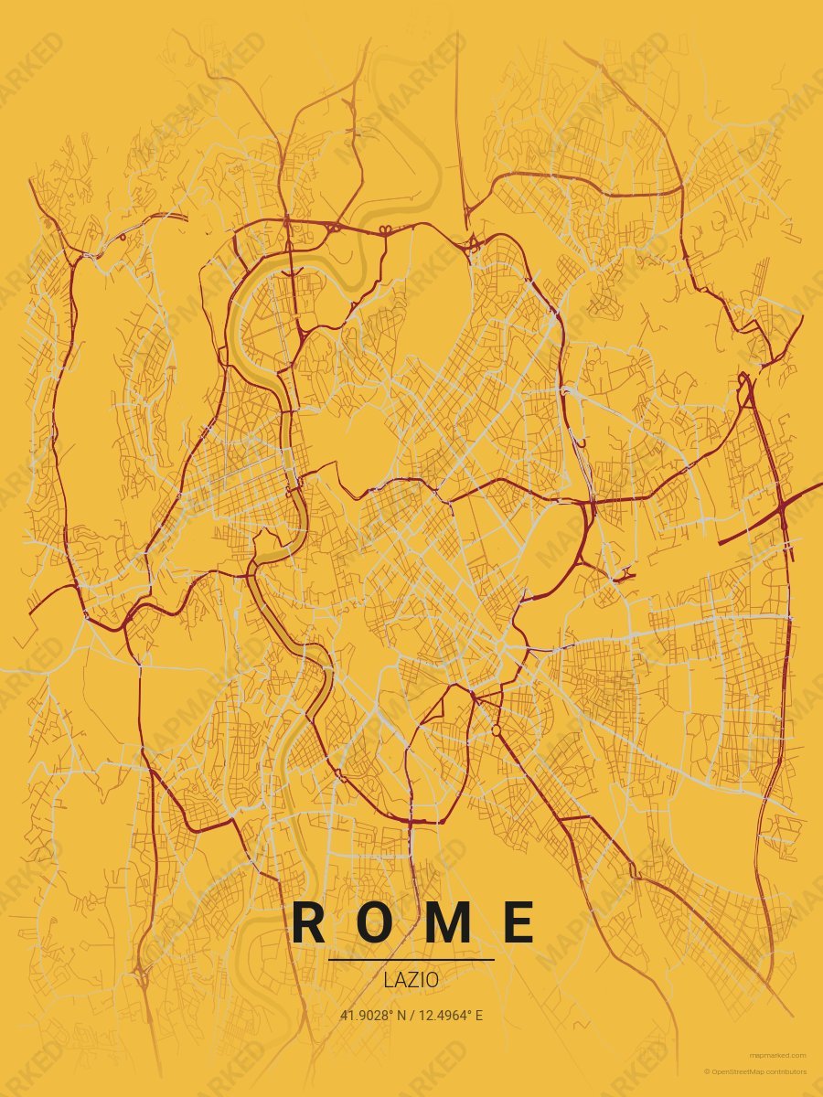
Rome Soccer 1
Yellow base with red primary roads and gray accents. A palette for Rome Italian soccer fans and game-day prints.
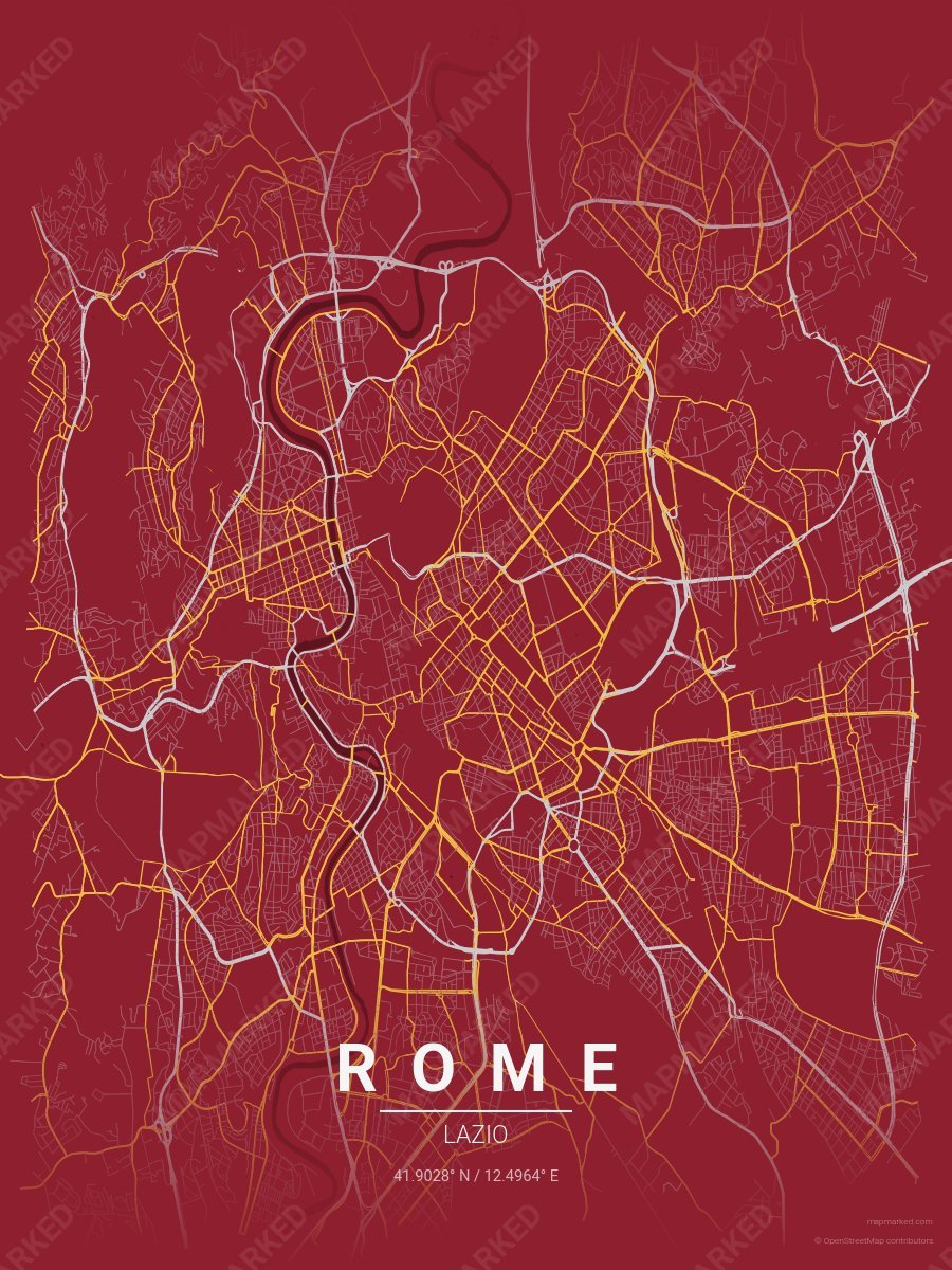
Rome Soccer 2
Red base with gray primary roads and yellow accents. A palette for Rome Italian soccer fans and game-day prints.
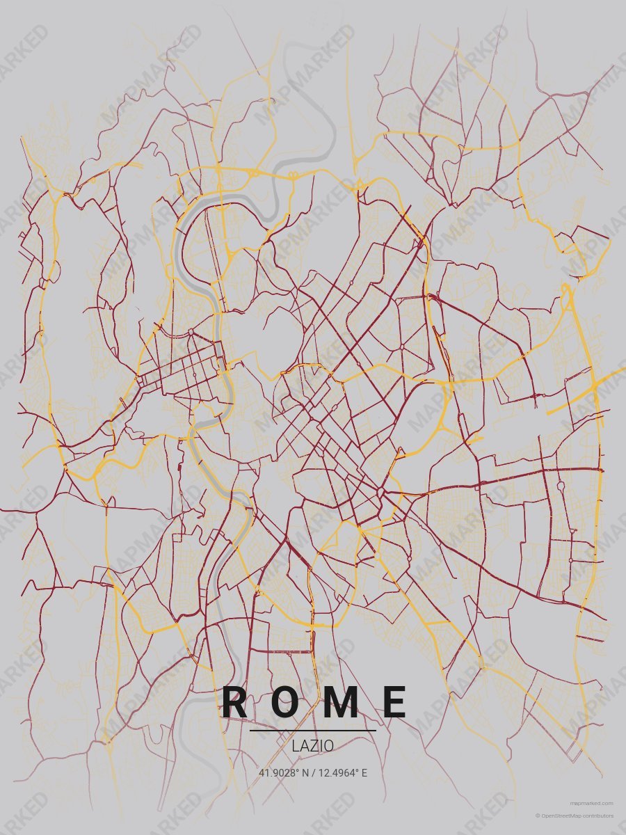
Rome Soccer 3
Gray base with yellow primary roads and red accents. A palette for Rome Italian soccer fans and game-day prints.
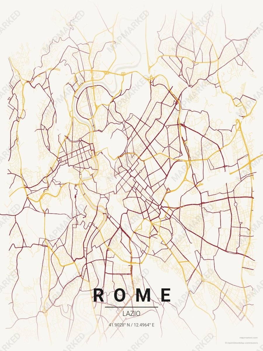
Rome Soccer 4
Cream base with yellow primary roads and red accents. A palette for Rome Italian soccer home prints and gallery walls.
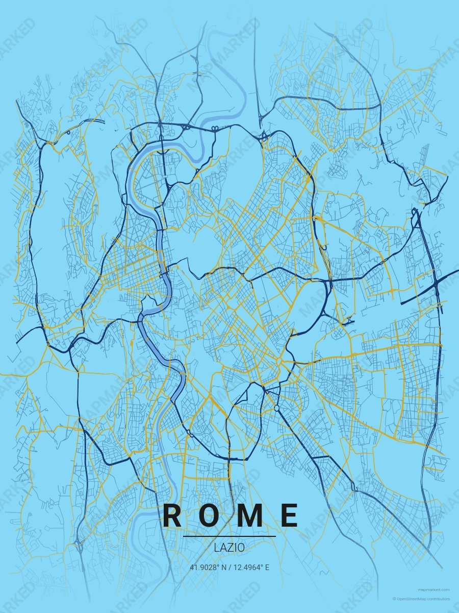
Rome Soccer 5
Blue base with dark blue primary roads and gold accents. A palette for Rome Italian soccer fans and game-day prints.
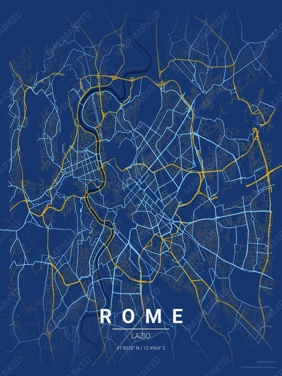
Rome Soccer 6
Dark blue base with gold primary roads and blue accents. A palette for Rome Italian soccer fans and game-day prints.
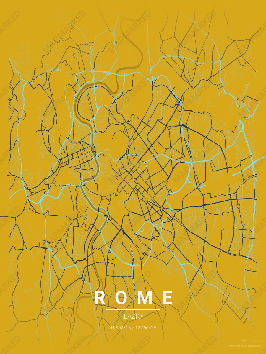
Rome Soccer 7
Gold base with blue primary roads and dark blue accents. A palette for Rome Italian soccer fans and game-day prints.
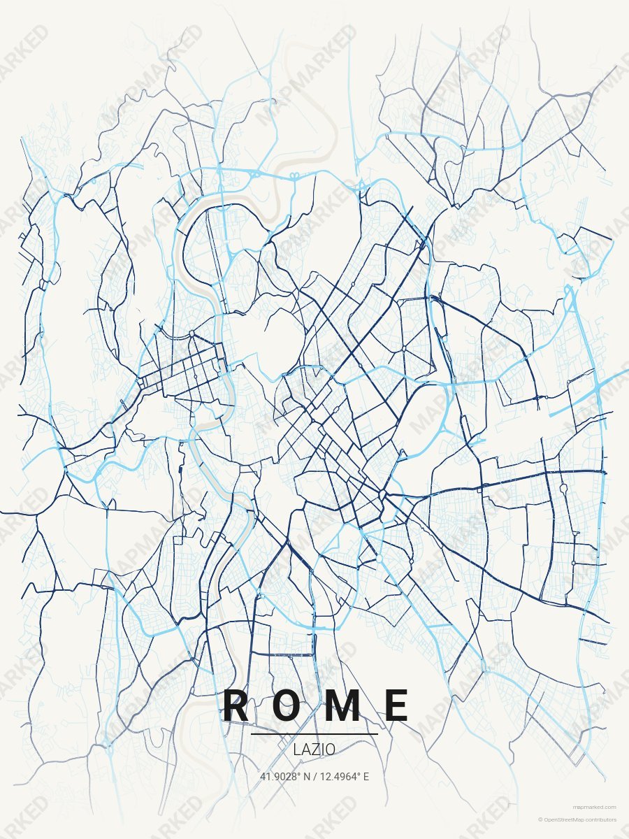
Rome Soccer 8
Cream base with blue primary roads and dark blue accents. A palette for Rome Italian soccer home prints and gallery walls.