Reykjavik Map Art
Reykjavik's street grid runs from the harbor inland in tight, geometric blocks, with Laugavegur cutting diagonally as the main commercial spine. The Faxaflói Bay curves around the city's north and west edges, while Öskjuhlið ridge dominates the southern approach, topped by the Perlan dome. Fresh water from the Elliðaá and Varmá rivers feeds both the city's water system and visible thermal activity along the outskirts.
64.1466° N, 21.9426° W
Reykjavik City Palettes
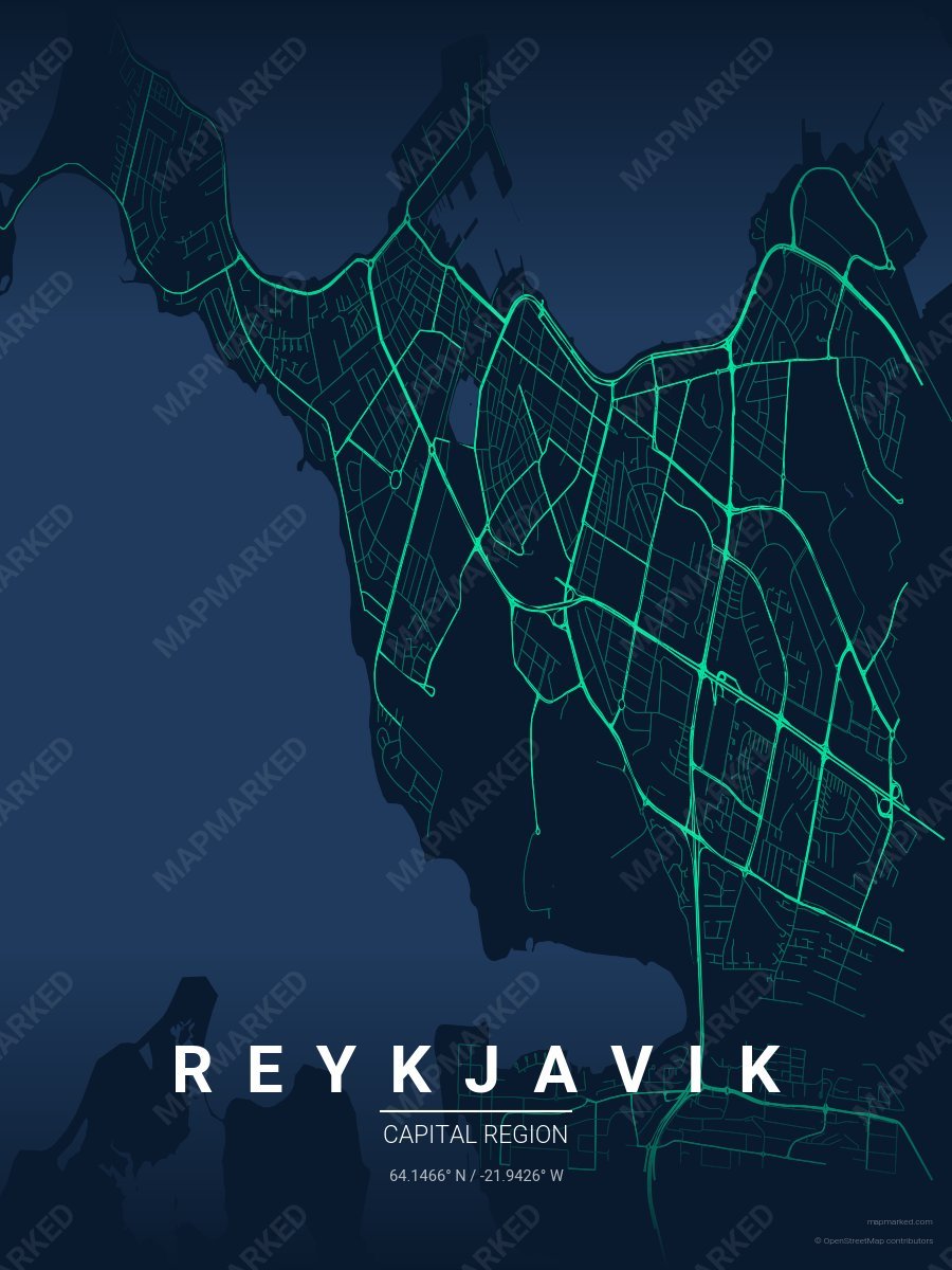
Reykjavik Aurora
Midnight navy base with aurora green roads. A palette for Northern Lights evenings and winter photography.
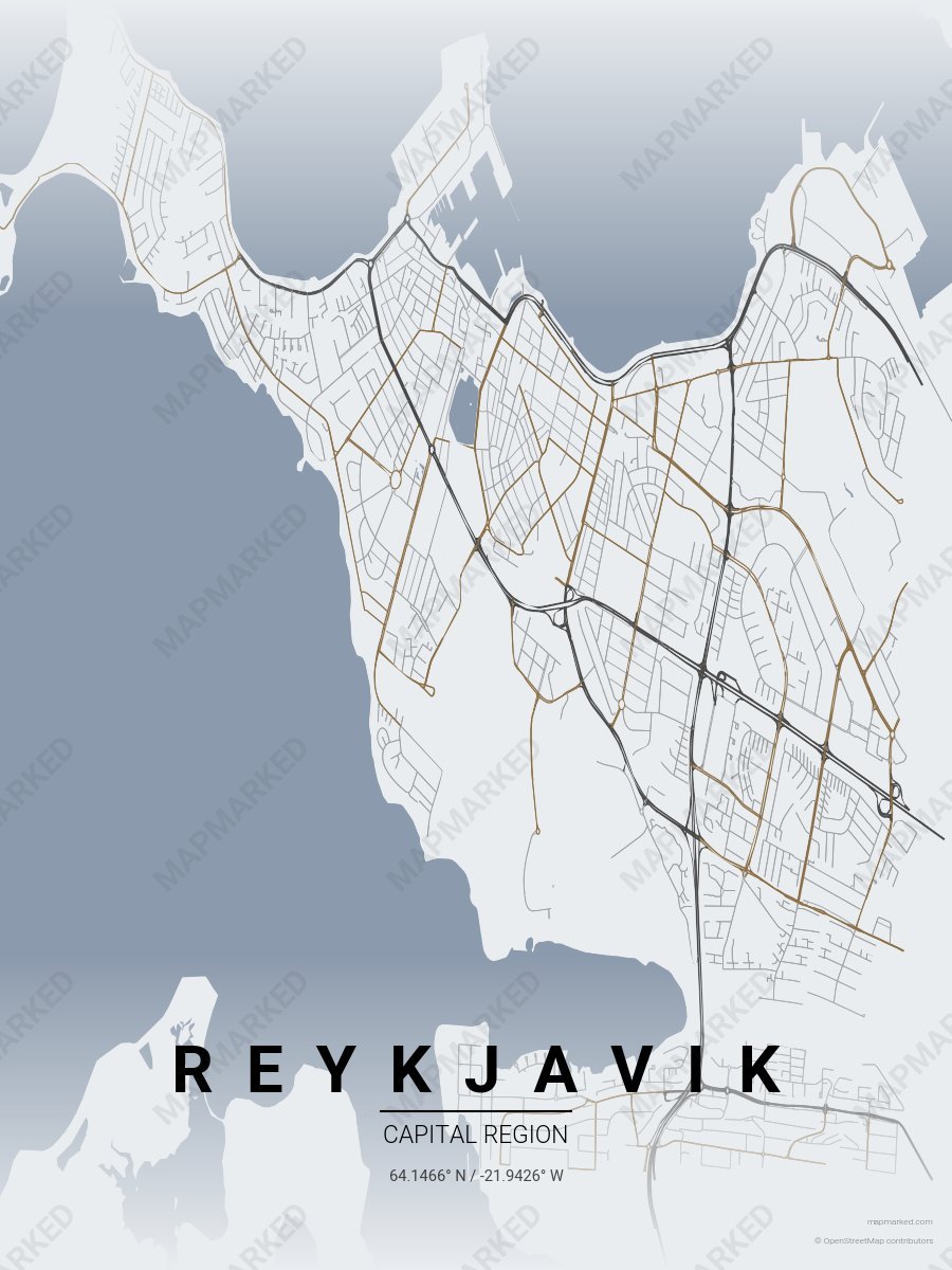
Reykjavik Basalt
Pale fog base with basalt charcoal roads. A palette for Reynisfjara black-sand mornings and Hallgrimskirkja afternoons.
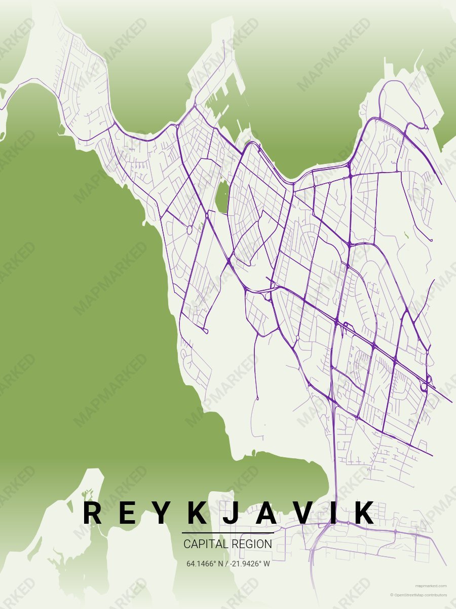
Reykjavik Lupine
Pale cream base with lupine purple roads. A palette for June lupine fields and midnight sun afternoons.