Reno Map Art
Reno sits in a sharp bend of the Truckee River as it flows northwest toward the Sierra Nevada, with the river's meanders dividing downtown from the residential neighborhoods to the south. The city spreads across a high desert valley floor at 4,500 feet, with Virginia Street running north-south as the main commercial spine and the Southern Pacific Railroad tracks paralleling it just to the east. The grid breaks apart at the river's edge, where casinos cluster along the north bank and the street pattern fragments into curved residential blocks that follow the contours of the rising terrain.
39.5296° N, 119.8138° W
Nevada University Palettes
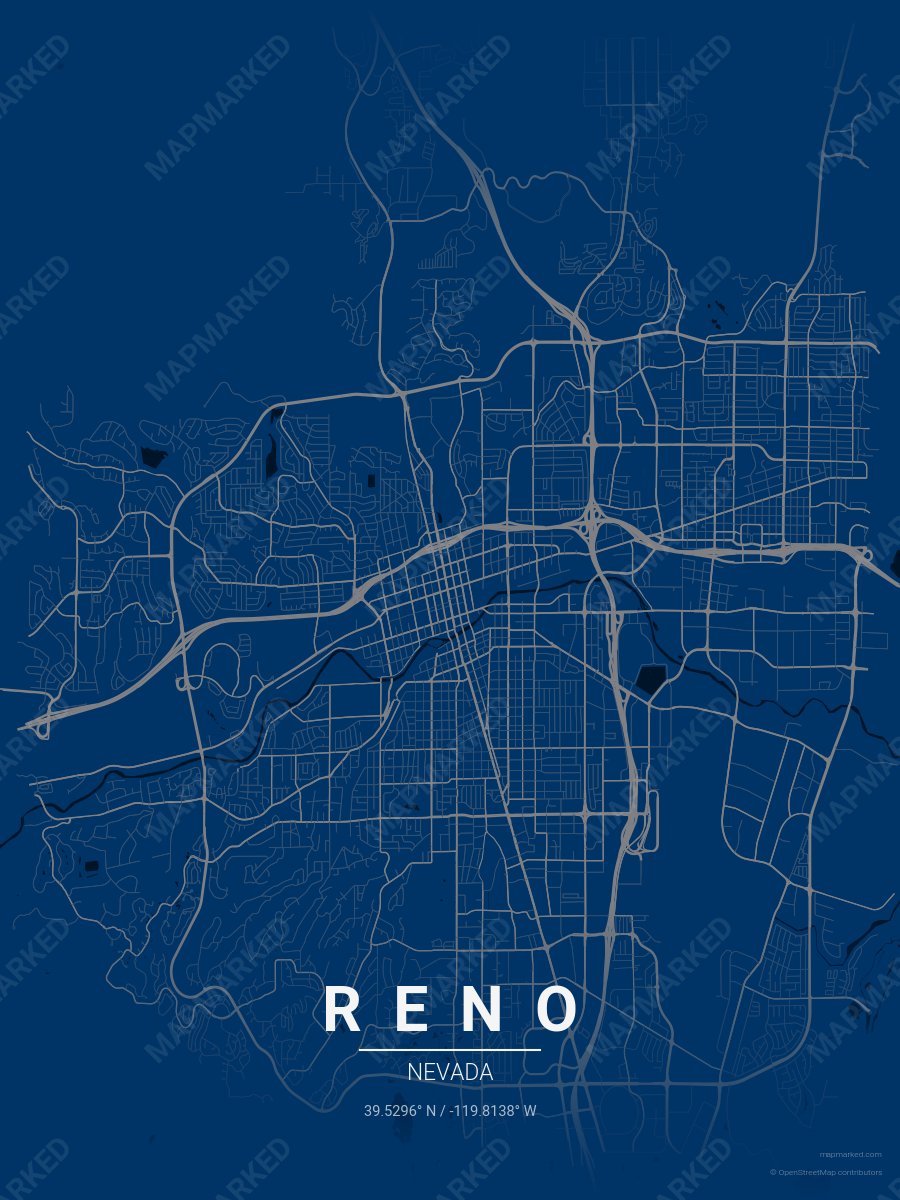
Reno School Spirit 1
Navy blue base with gray roads. A palette for Reno college sports fans and campus prints.
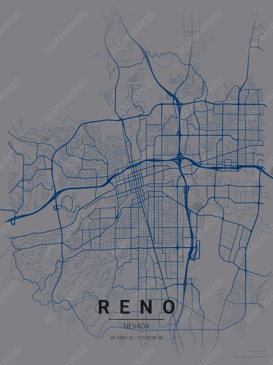
Reno School Spirit 2
Gray base with navy blue roads. A palette for Reno college sports fans and campus prints.
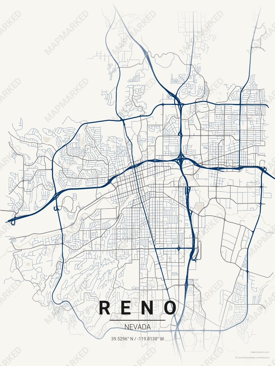
Reno School Spirit 3
Cream base with navy blue primary roads and gray accents. A palette for Reno college sports home prints and campus walls.

Las Vegas School Spirit 1
Scarlet base with gray primary roads and black accents. A palette for Las Vegas college sports fans and campus prints.

Las Vegas School Spirit 2
Gray base with black primary roads and scarlet accents. A palette for Las Vegas college sports fans and campus prints.

Las Vegas School Spirit 3
Black base with scarlet primary roads and gray accents. A palette for Las Vegas college sports fans and campus prints.

Las Vegas School Spirit 4
Cream base with scarlet primary roads and gray accents. A palette for Las Vegas college sports home prints and campus walls.