Prague Map Art
Prague's map centers on the Vltava River, which loops through the city in a tight S-curve, dividing it into left and right banks. The medieval Old Town and Jewish Quarter sit on the east bank, their streets radiating outward in organic tangles, while the geometric Charles Bridge spans the narrowest point, leading west to Prague Castle perched on a hill above the city. Radiating avenues from the city center follow the old trade routes, creating a pattern of concentric rings that grow more angular as they spread outward.
50.0755° N, 14.4378° E
Prague City Palettes
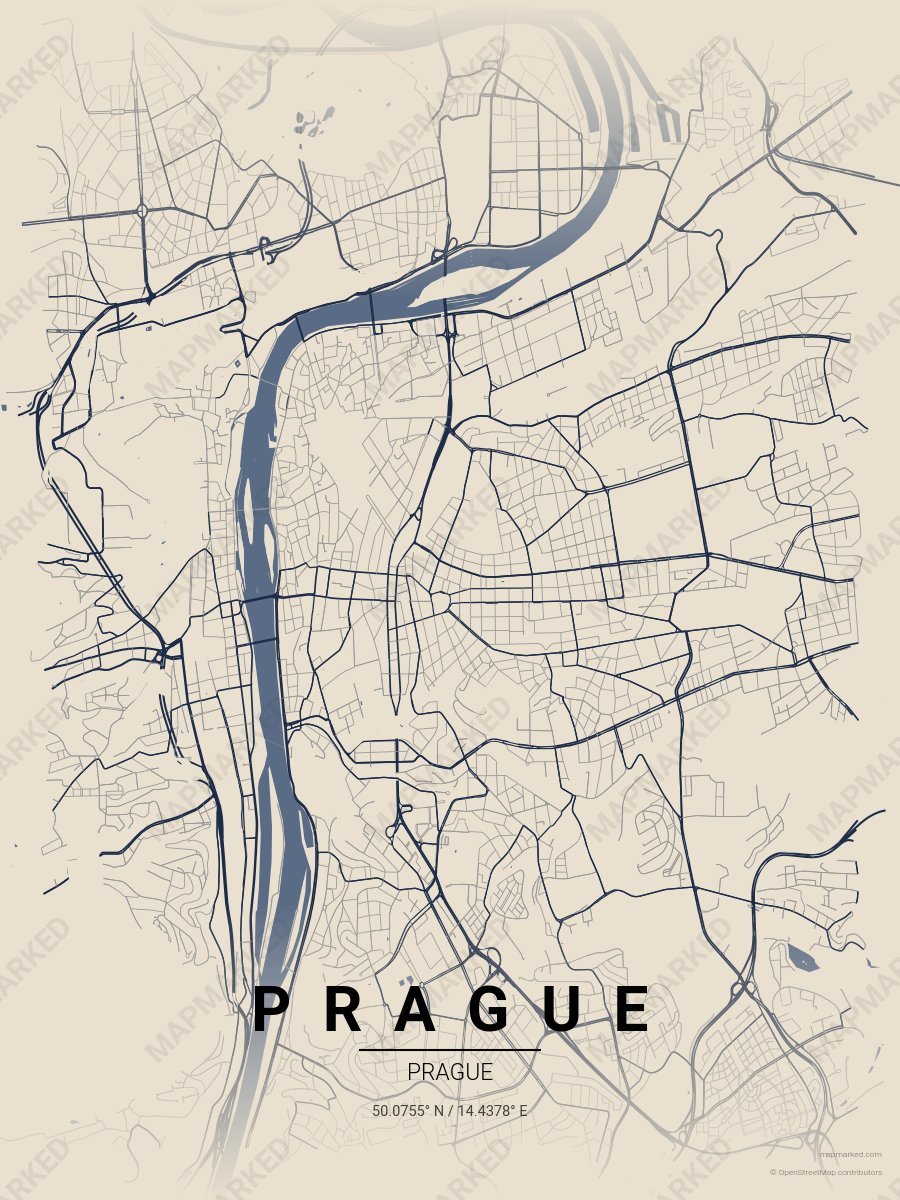
Prague Castle
Limestone base with Prague Castle roads. A palette for Hradčany afternoons and St. Vitus Cathedral mornings.
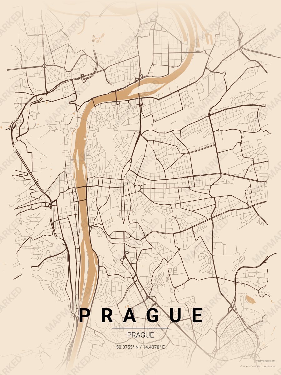
Prague Charles Bridge
Warm sand base with Charles Bridge roads. A palette for bridge dawns and Vltava afternoons.
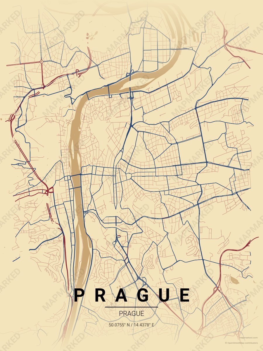
Prague Old Town
Wheat cream base with Old Town Square brick roads and Astronomical Clock indigo accents. A palette for Astronomical Clock afternoons and Tyn Church ev…