Ottawa Map Art
Ottawa's grid spreads across both banks of the Ottawa River, with the Rideau Canal cutting south through downtown in a straight line toward the Rideau River. Parliament Hill anchors the core, while the Gatineau Hills rise north across the water, and the Rideau locks mark where the canal meets the river below the parliamentary precinct. Major east-west arteries like Wellington Street and Queen Street organize the street pattern in rigid blocks, interrupted only by the river's curve and the canal's geometric corridor.
45.4215° N, 75.6972° W
Ottawa Sports Palettes
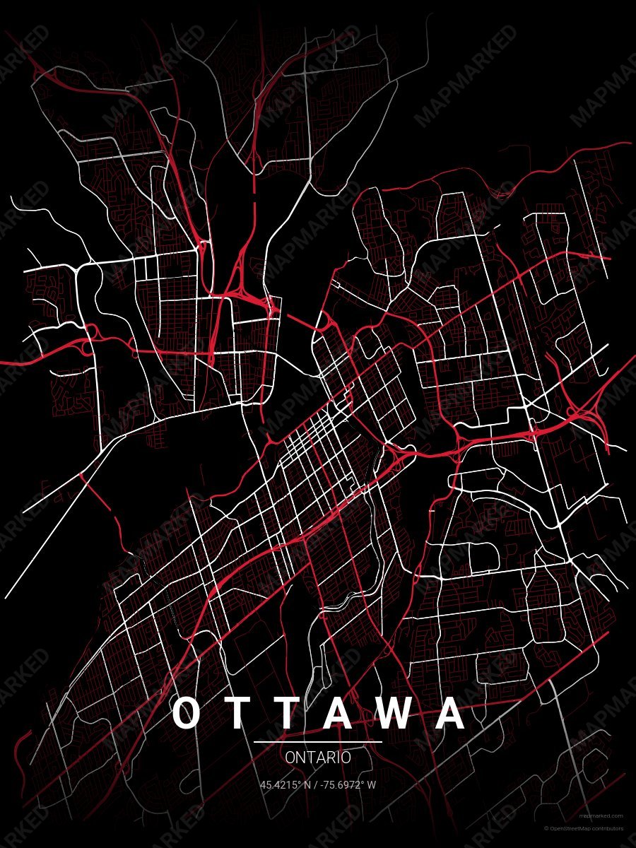
Ottawa Ice 1
Black base with red primary roads and white accents. A palette for Ottawa hockey fans and game-day prints.
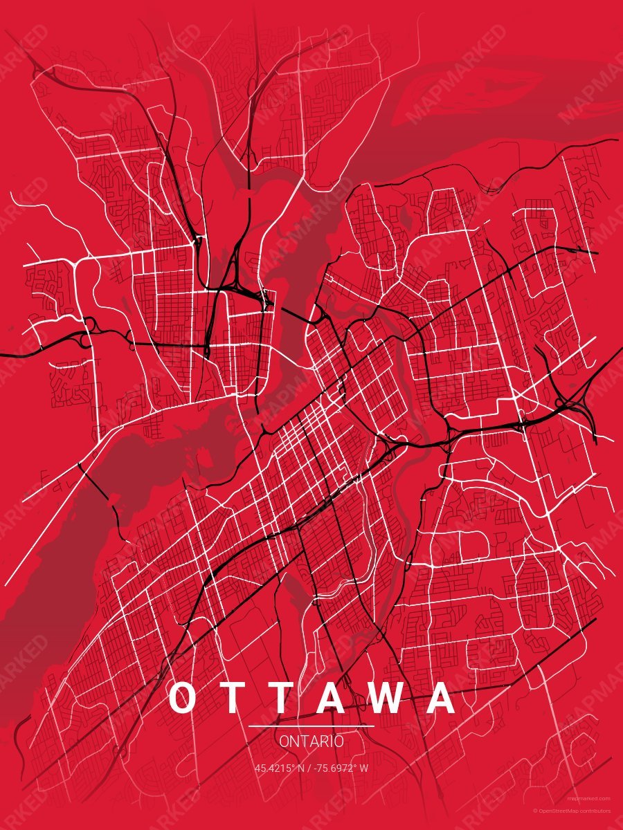
Ottawa Ice 2
Red base with black primary roads and white accents. A palette for Ottawa hockey fans and game-day prints.
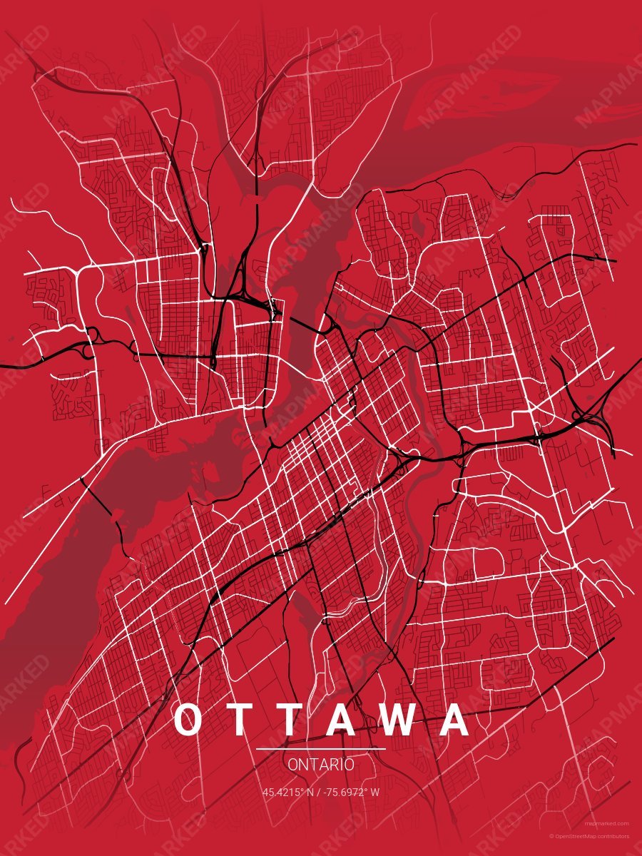
Ottawa Ice 4
Red base with black primary roads and white accents. A throwback palette for the 2007–2020 era.
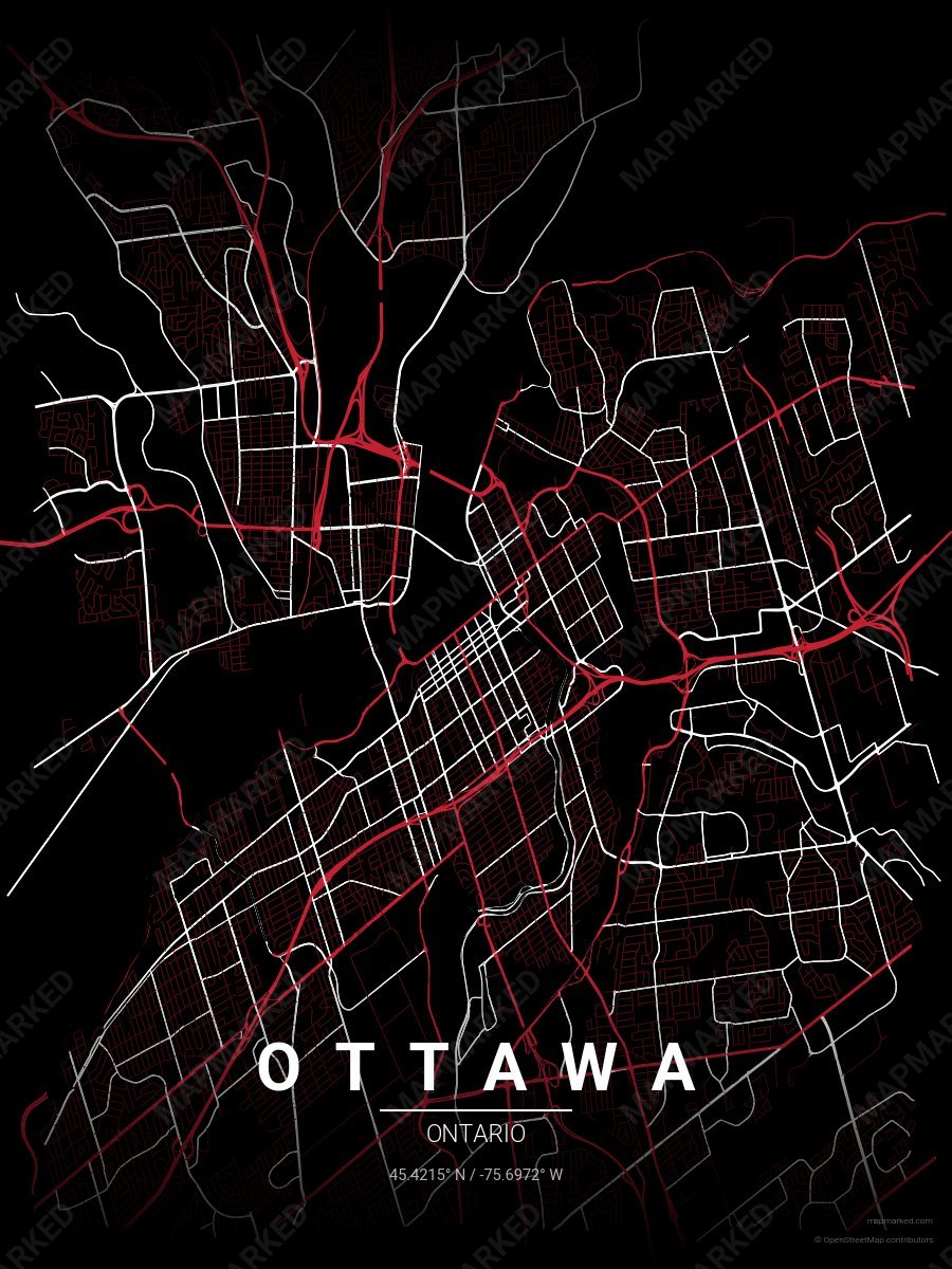
Ottawa Ice 5
Black base with red primary roads and white accents. A throwback palette for the 2007–2020 era.
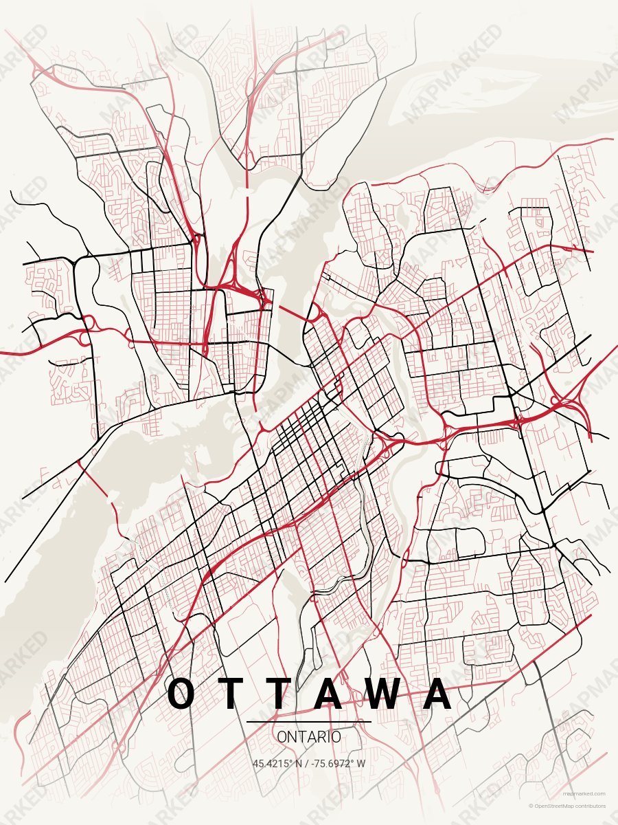
Ottawa Ice 6
Clean white base with red primary roads and black accents. A throwback palette for the 2007–2020 era.
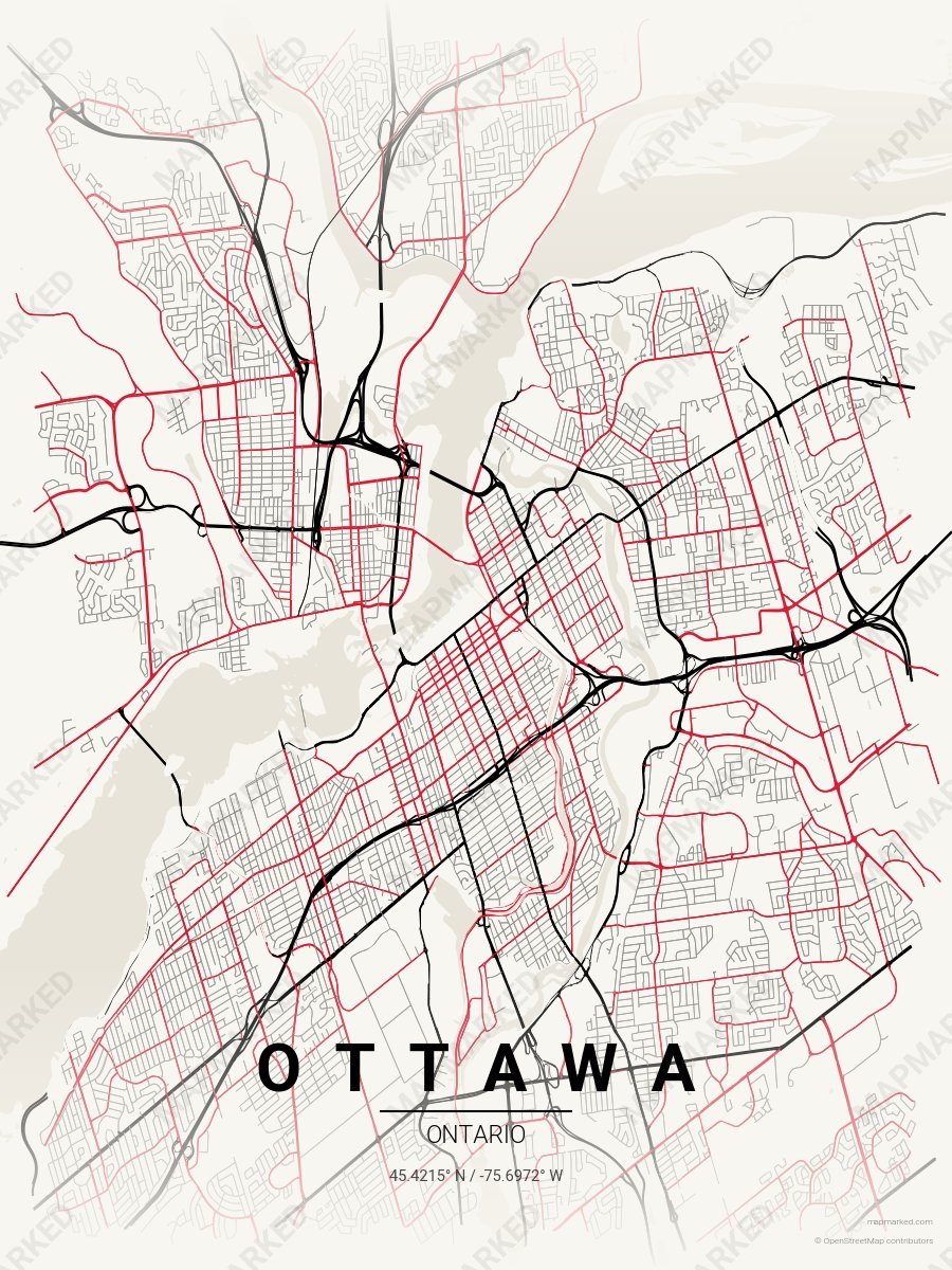
Ottawa Ice 3
Clean white base with black primary roads and red accents. A palette for Ottawa hockey home prints and gallery walls.