Naples Map Art
Naples crowds onto a narrow plain between the Tyrrhenian Sea and the volcanic slopes of Mount Vesuvius, its street grid compressed into dense blocks that follow medieval ward divisions more than rational planning. The harbor curves along the waterfront, with the Castel dell'Ovo marking the oldest settlement point, while the Vomero ridge rises sharply to the south, connected to the city below by funicular rail lines. The Sebeto River, now largely underground, once carved through the center before modern development buried it.
40.8518° N, 14.2681° E
Naples Sports Palettes
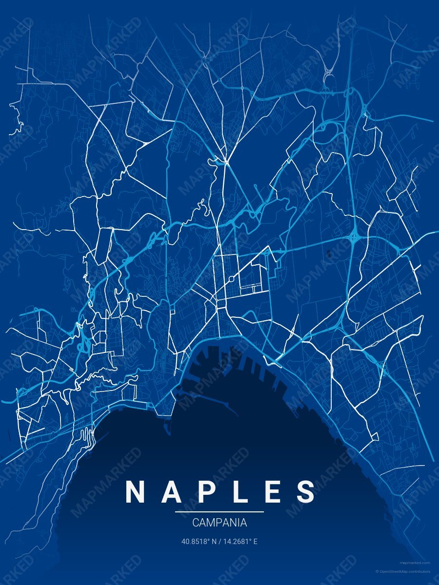
Naples Soccer 1
Blue base with light blue primary roads and white accents. A palette for Naples Italian soccer fans and game-day prints.
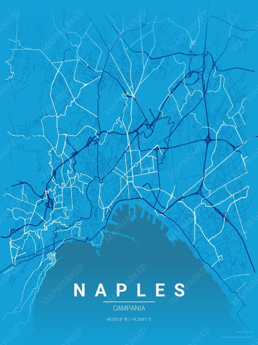
Naples Soccer 2
Light blue base with blue primary roads and white accents. A palette for Naples Italian soccer fans and game-day prints.
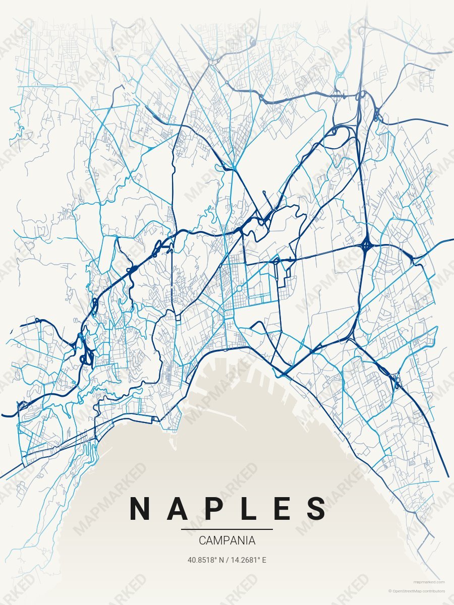
Naples Soccer 3
Cream base with blue primary roads and light blue accents. A palette for Naples Italian soccer home prints and gallery walls.