Munich Map Art
Munich's street grid radiates from Marienplatz in the medieval core, with the Isar River looping through the city in dramatic serpentine curves that define both the northern and southern edges of the center. The English Garden sprawls north of the Isar as one of the world's largest urban parks, its boundaries cutting an irregular swath across the city's northeast quadrant. Three concentric ring roads—the medieval fortification line, the 19th-century expansion boundary, and the modern Autobahn loops—mark successive layers of growth radiating outward from the old town.
48.1351° N, 11.5820° E
Munich Sports Palettes
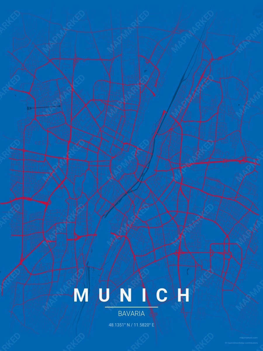
Munich Soccer 1
Blue base with red roads. A palette for Munich German soccer fans and game-day prints.
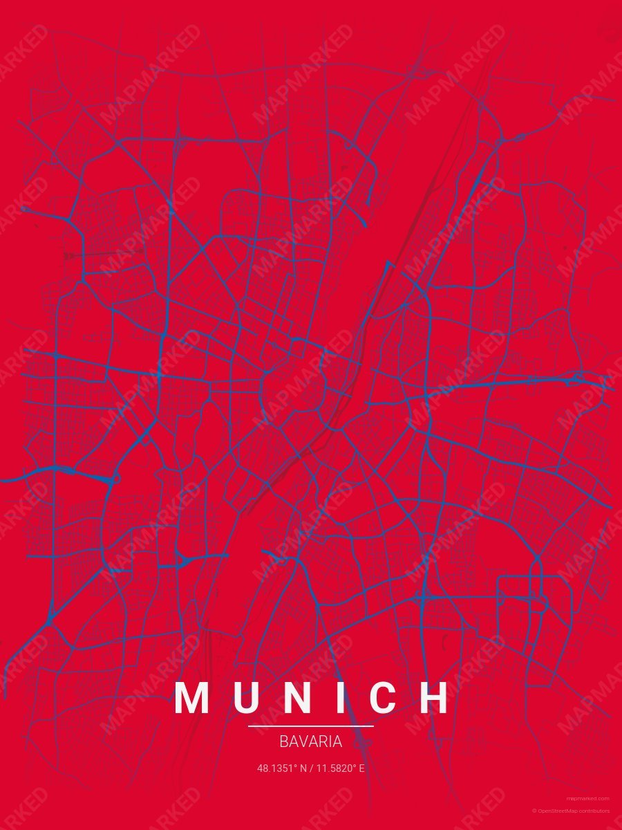
Munich Soccer 2
Red base with blue roads. A palette for Munich German soccer fans and game-day prints.
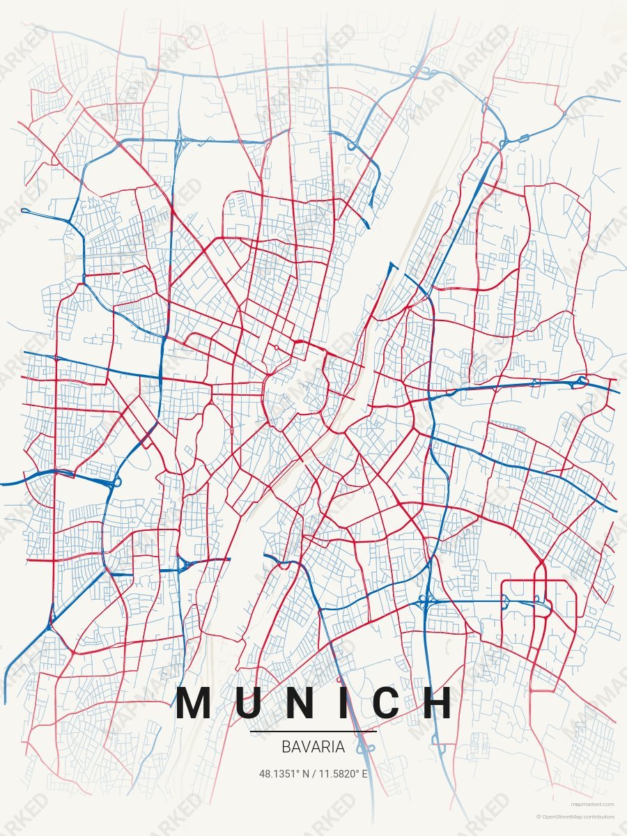
Munich Soccer 3
Cream base with blue primary roads and red accents. A palette for Munich German soccer home prints and gallery walls.