Montreal Map Art
Montreal's street grid tilts forty-five degrees from true north, a legacy of the old French seigneury boundaries. The St. Lawrence River bends sharply around the island, with Mount Royal's steep ridgeline anchoring the center, and the smaller islands of Île-Sainte-Hélène and Île-Notre-Dame sit downstream where the river widens.
45.5017° N, 73.5673° W
Montreal City Palettes
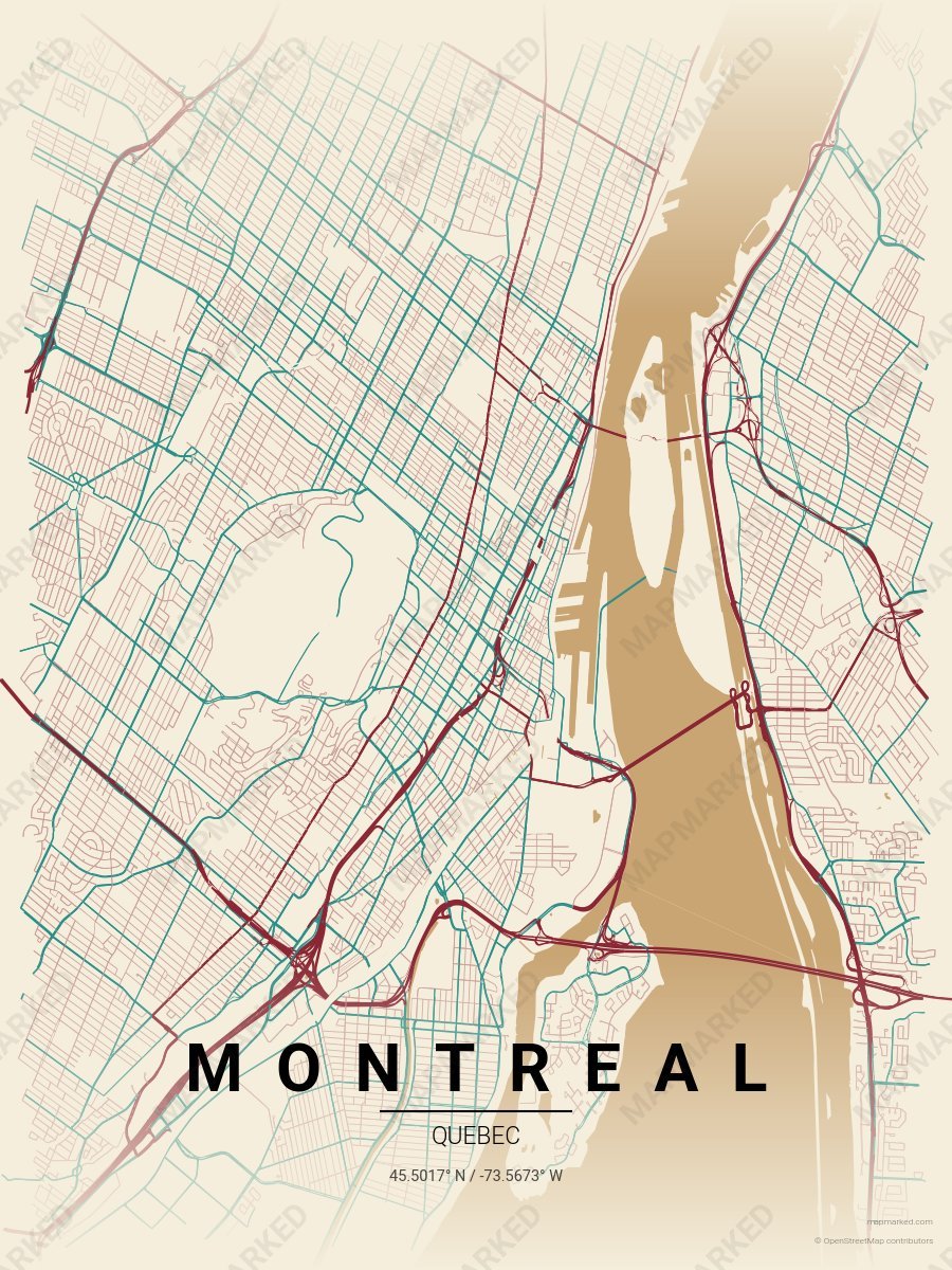
Montreal Plateau
Oat cream base with Plateau red roads and Mile End mural teal accents. A palette for Mile End afternoons and Schwartz's deli evenings.
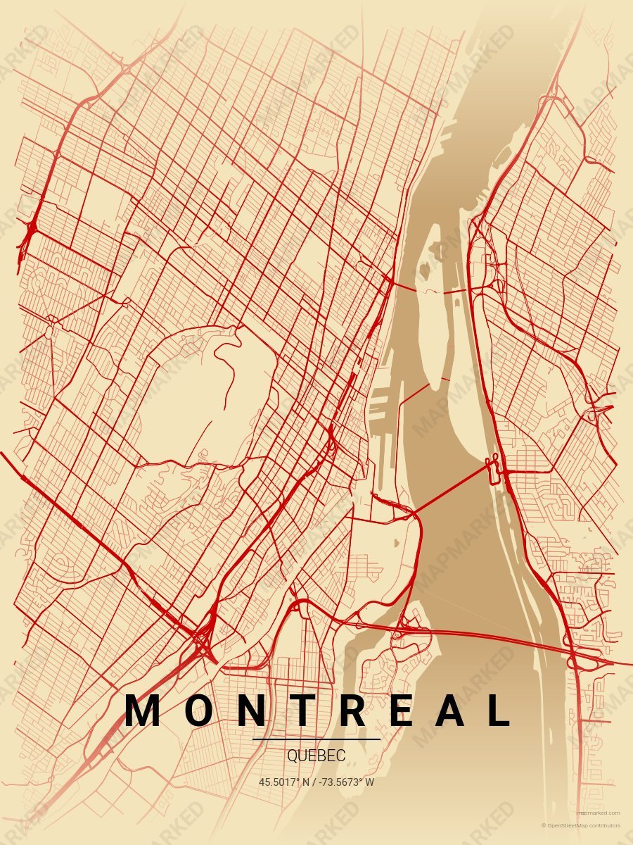
Montreal Saint Laurent
Wheat cream base with Main roads. A palette for Boulevard Saint-Laurent evenings and Jean-Talon market afternoons.
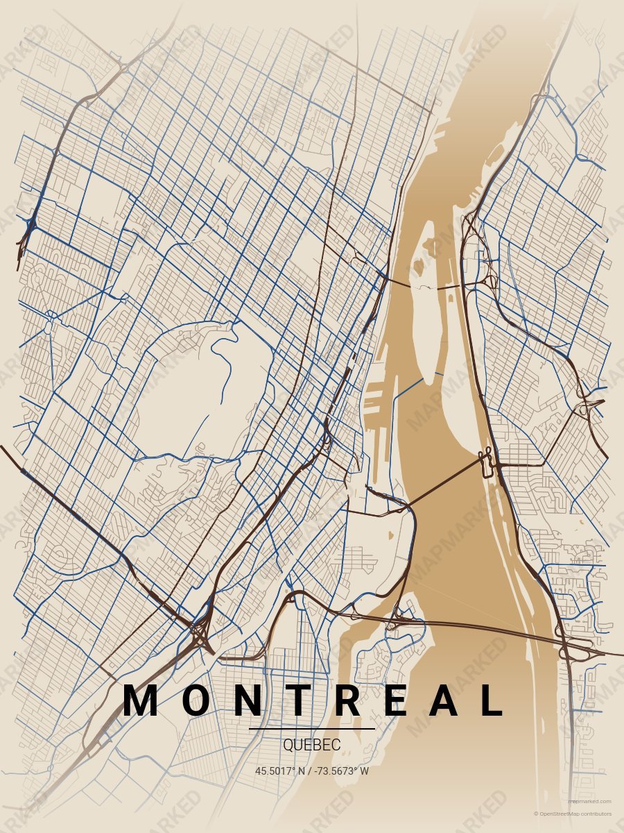
Montreal Vieux Port
Limestone base with Vieux Port brown roads and Notre-Dame Basilica blue accents. A palette for Old Montreal afternoons and harbor-front mornings.
Montreal Sports Palettes
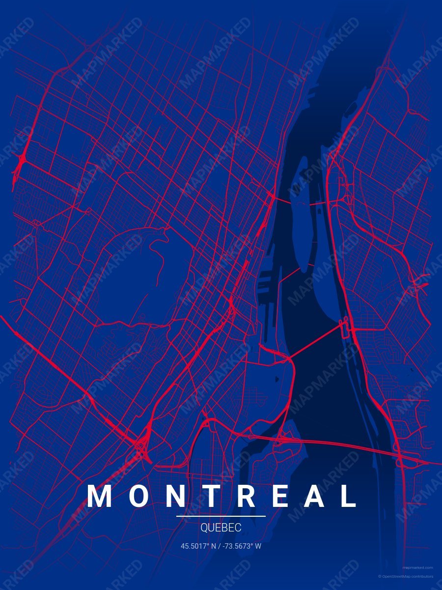
Montreal Diamond 1
Blue base with red roads. A palette for Montreal baseball fans and game-day prints.
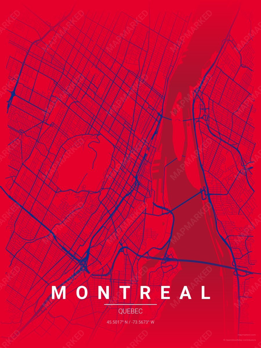
Montreal Diamond 2
Red base with blue roads. A palette for Montreal baseball fans and game-day prints.
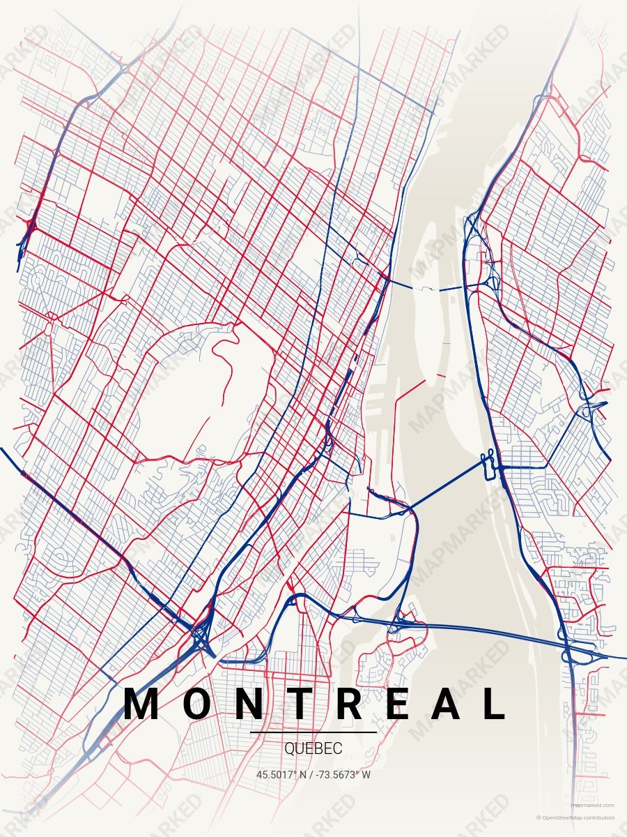
Montreal Diamond 3
Cream base with blue roads. A palette for Montreal baseball home prints and gallery walls.
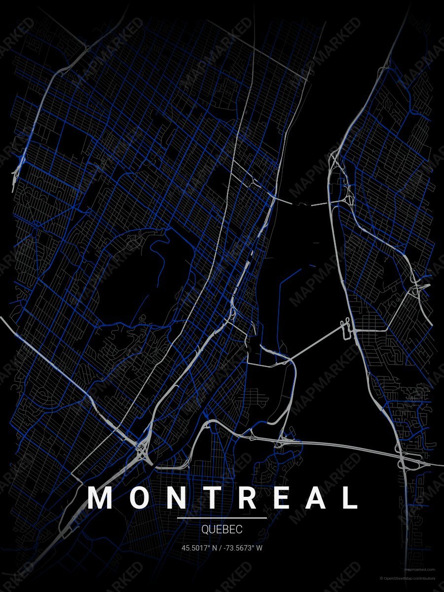
Montreal Soccer 1
Black base with gray primary roads and blue accents. A palette for Montreal soccer fans and game-day prints.
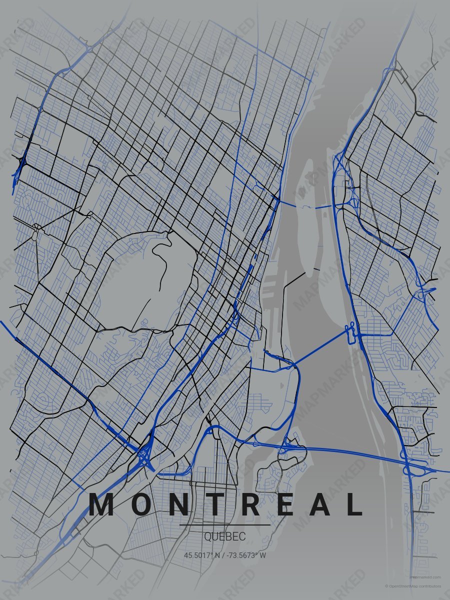
Montreal Soccer 2
Gray base with blue primary roads and black accents. A palette for Montreal soccer fans and game-day prints.
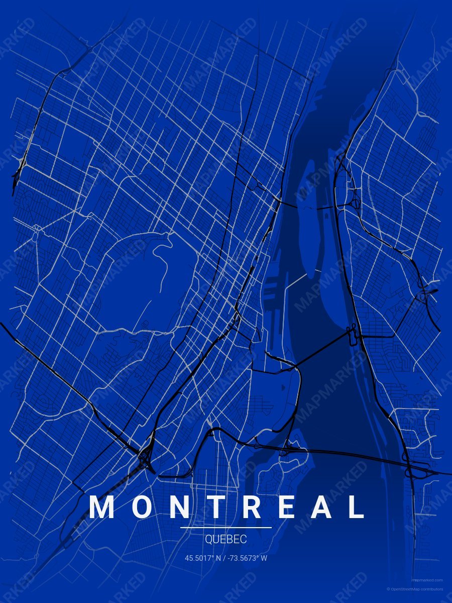
Montreal Soccer 3
Blue base with black primary roads and gray accents. A palette for Montreal soccer fans and game-day prints.
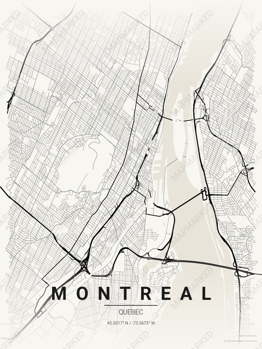
Montreal Soccer 4
Cream base with black primary roads and gray accents. A palette for Montreal soccer home prints and gallery walls.
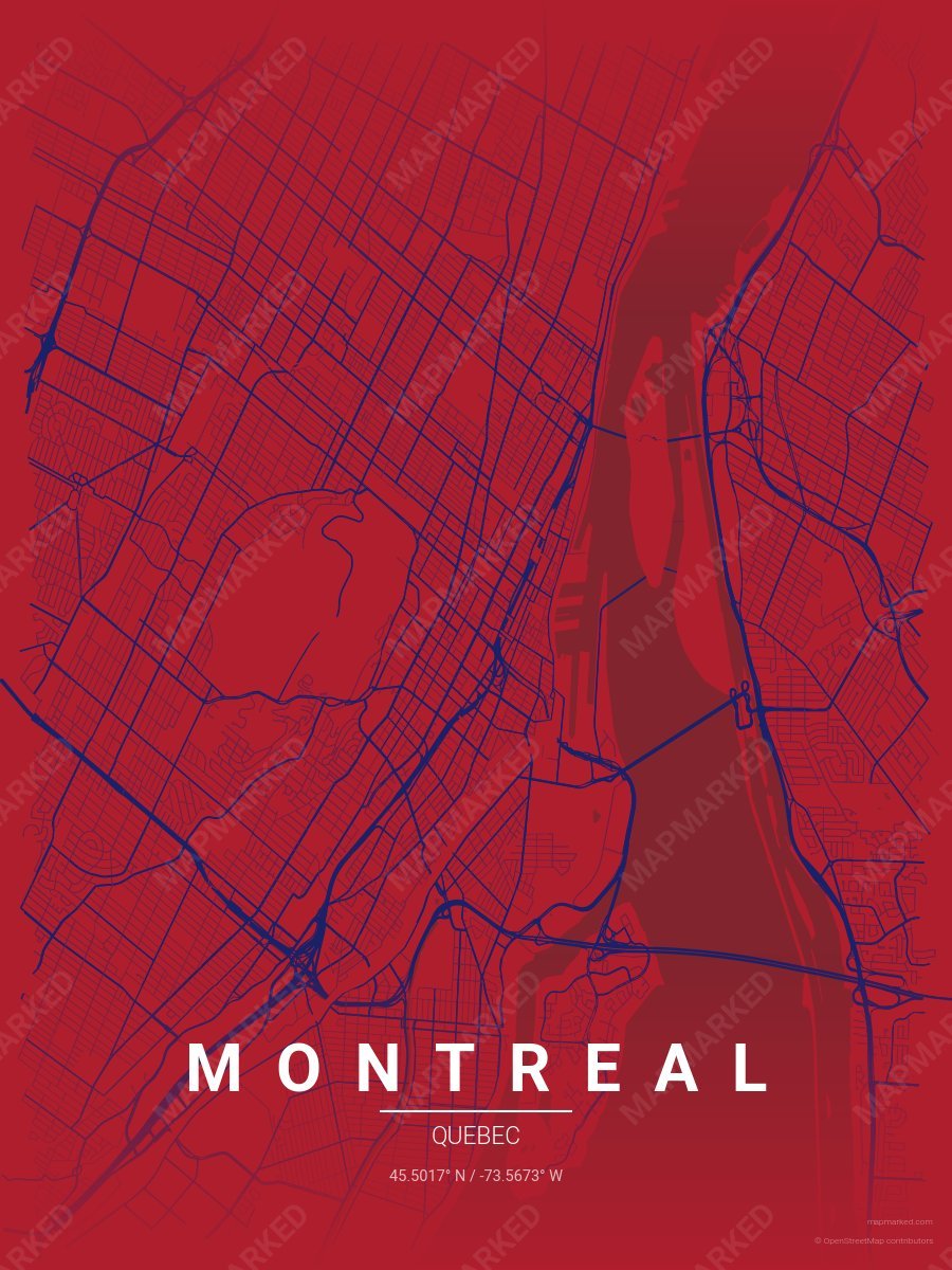
Montreal Ice 1
Red base with blue roads. A palette for Montreal hockey fans and game-day prints.
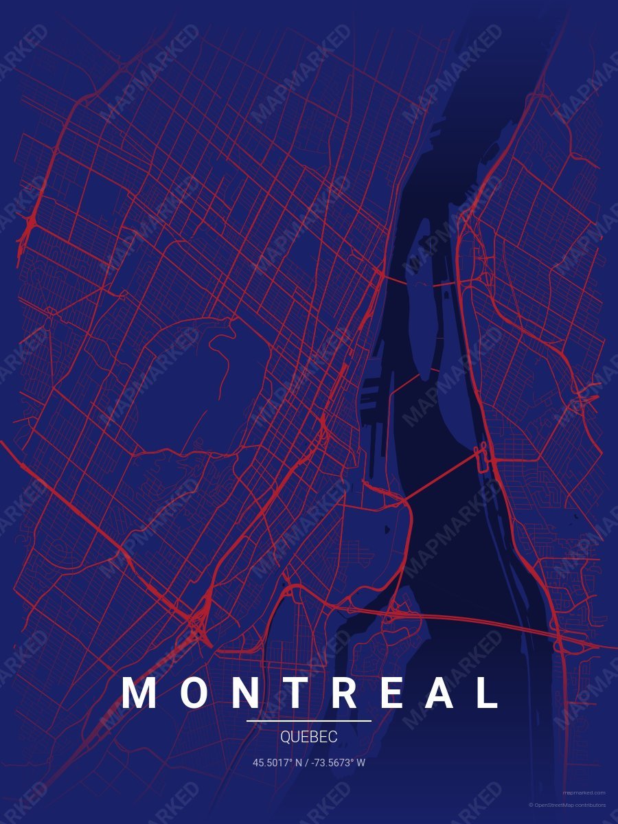
Montreal Ice 2
Blue base with red roads. A palette for Montreal hockey fans and game-day prints.
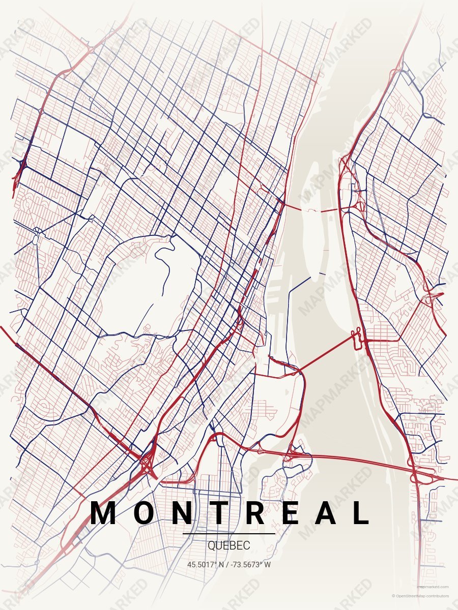
Montreal Ice 3
Cream base with red roads. A palette for Montreal hockey home prints and gallery walls.