Monaco Map Art
Monaco's map is defined by the hairpin bend of the Mediterranean coastline and the steep topography that forces the city upward in narrow terraces. The famous Grand Casino anchors the grid of Avenue de la Porte-Neuve and Rue de Rivoli in the center, while the Port Hercule curves into a deep natural harbor that divides the western waterfront. Streets climb sharply from sea level to the upper districts, with the old town clustered on the eastern headland and the newer grid districts stacked inland and uphill.
43.7384° N, 7.4246° E
Monaco Sports Palettes
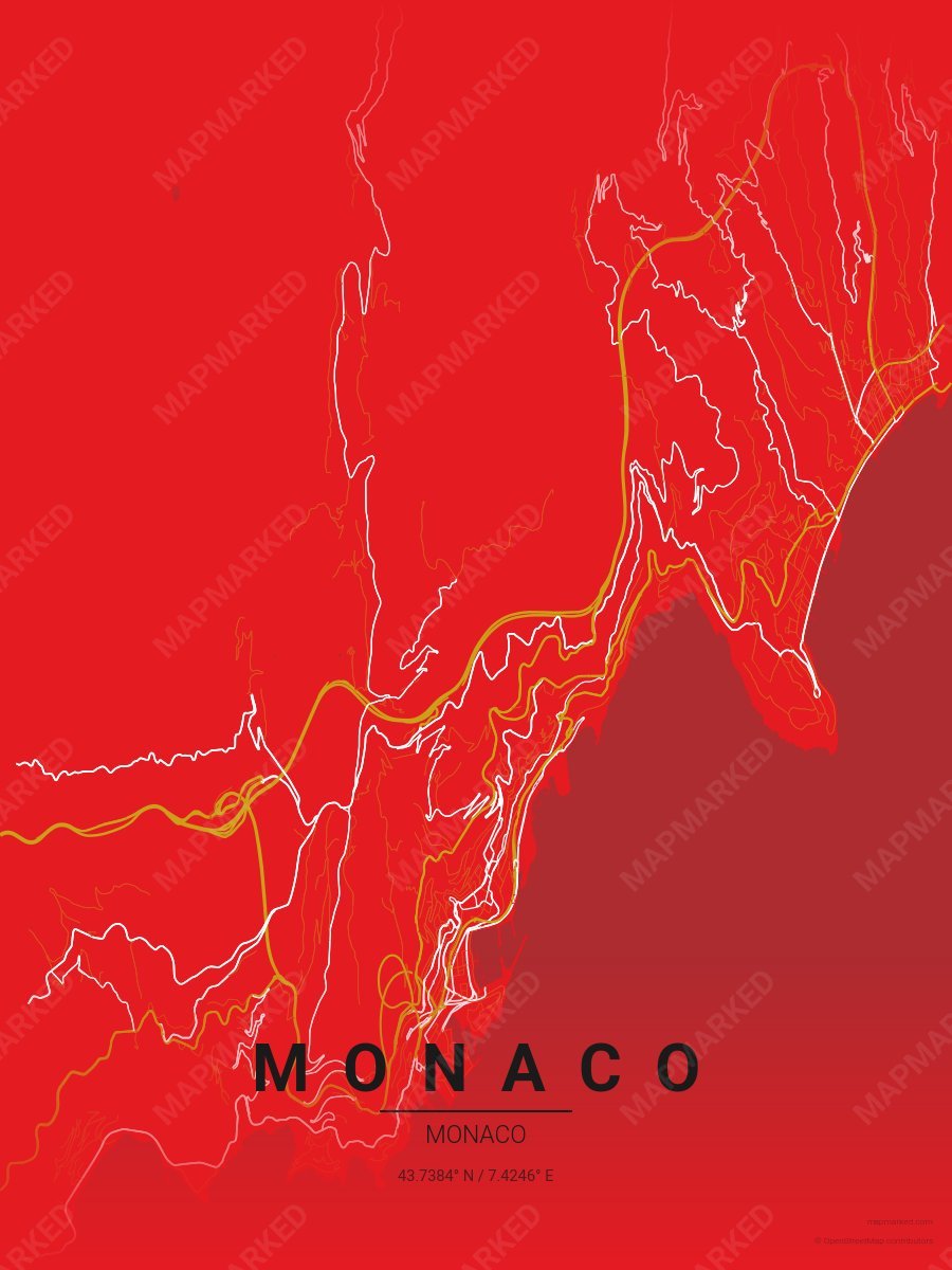
Monaco Soccer 1
Red base with gold primary roads and white accents. A palette for Monaco French soccer fans and game-day prints.
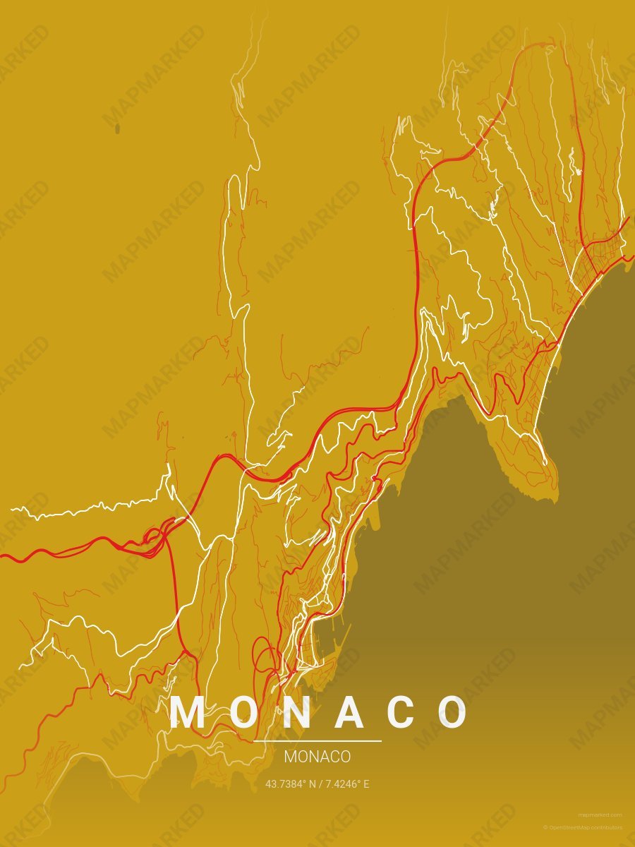
Monaco Soccer 2
Gold base with red primary roads and white accents. A palette for Monaco French soccer fans and game-day prints.
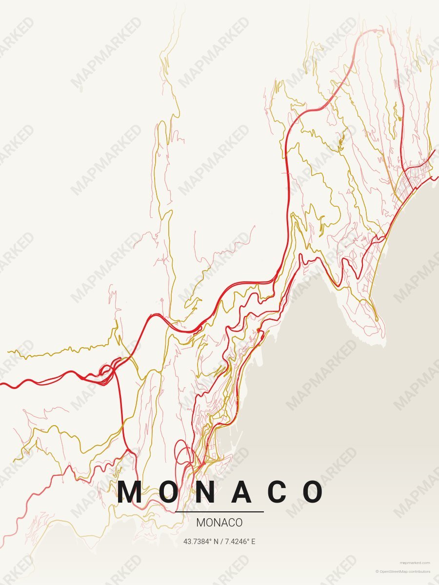
Monaco Soccer 3
Cream base with red primary roads and gold accents. A palette for Monaco French soccer home prints and gallery walls.