Minneapolis Map Art
Minneapolis's grid divides cleanly at the Mississippi River, which loops through downtown in a dramatic horseshoe bend. The city spreads in cardinal directions from this spine, with lakes dotting the western neighborhoods—Calhoun, Isles, Cedar—connected by the Grand Rounds scenic drive. The former industrial riverfront and the Chain of Lakes district create two distinct mapped geographies, one vertical, one dispersed.
44.9778° N, 93.2650° W
Minneapolis City Palettes
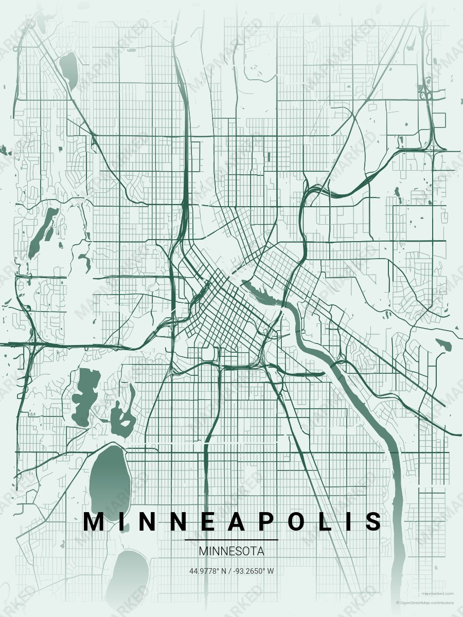
Minneapolis City of Lakes
Pale mint base with City of Lakes roads. A palette for Lake Harriet summers and Lake Calhoun afternoons.
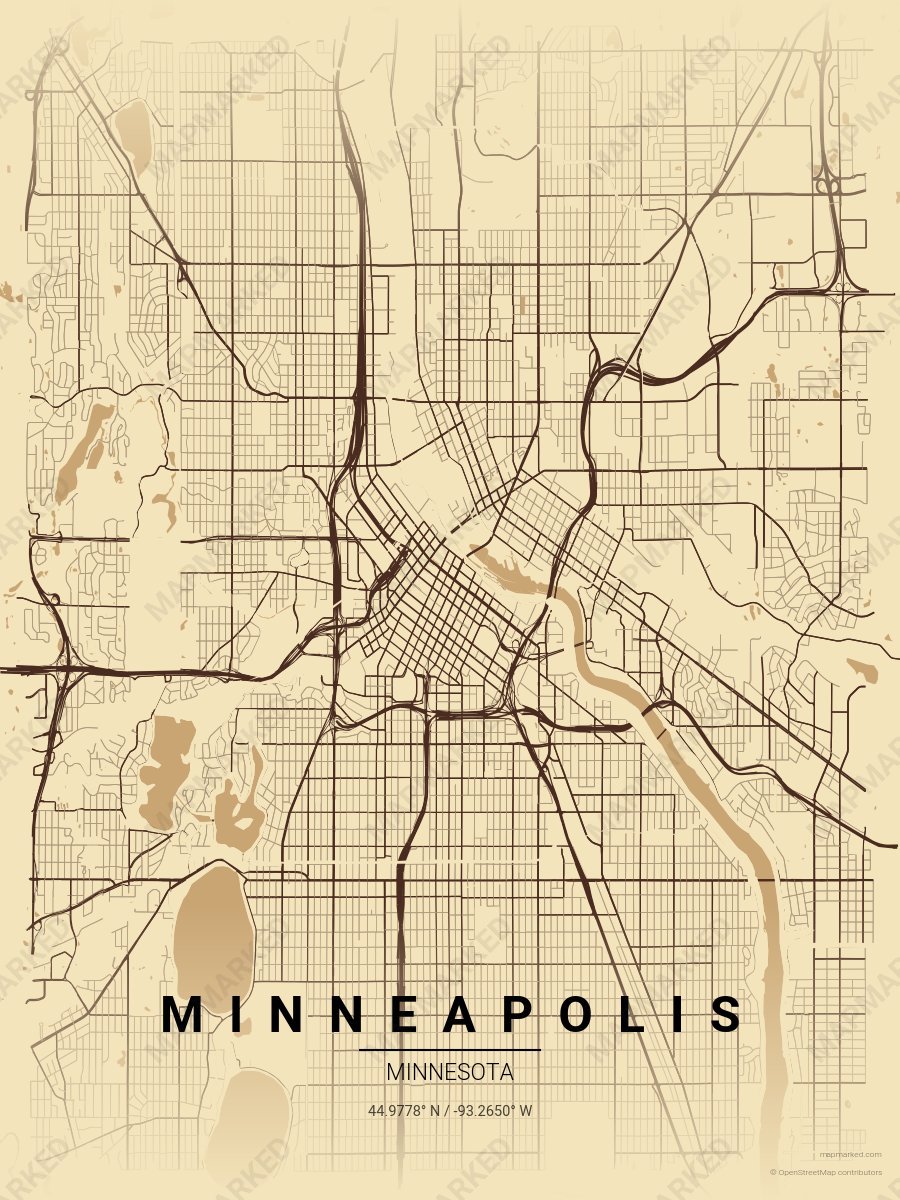
Minneapolis North Loop
Wheat cream base with North Loop warehouse roads. A palette for warehouse afternoons and Mill District mornings.
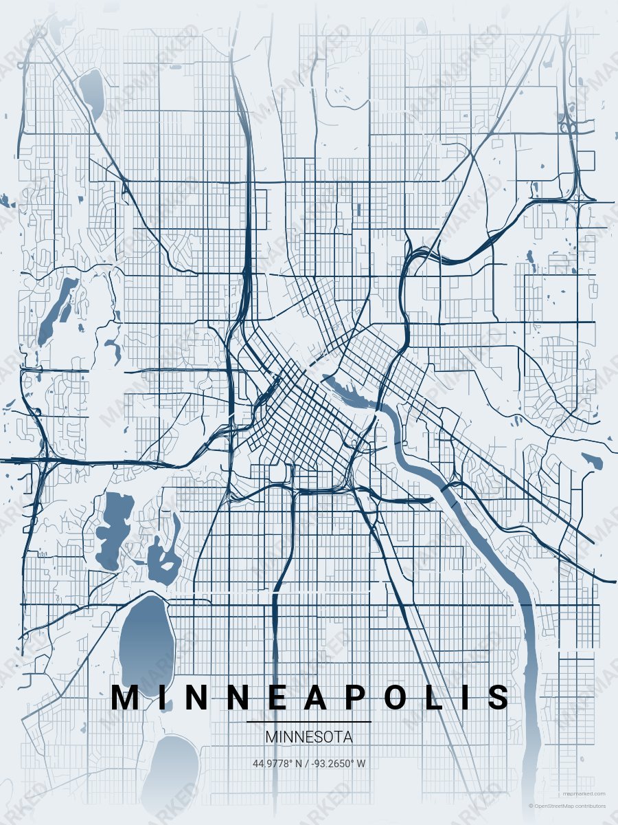
Minneapolis Twin Cities
Pale mist base with Twin Cities navy roads. A palette for Stone Arch Bridge evenings and Lake of the Isles mornings.
Minneapolis Sports Palettes
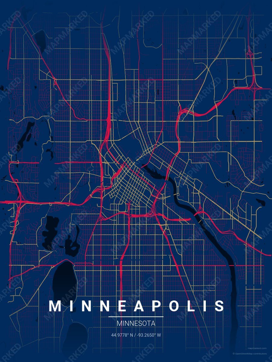
Minneapolis Diamond 1
Navy base with red primary roads and gold accents. A palette for Minneapolis baseball fans and game-day prints.
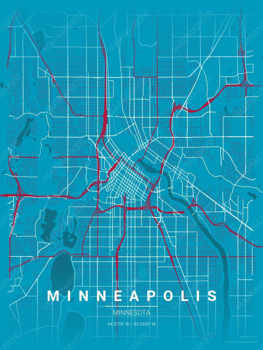
Minneapolis Diamond 5
Blue base with red primary roads and white accents. A throwback palette for the 1961–1975 era.
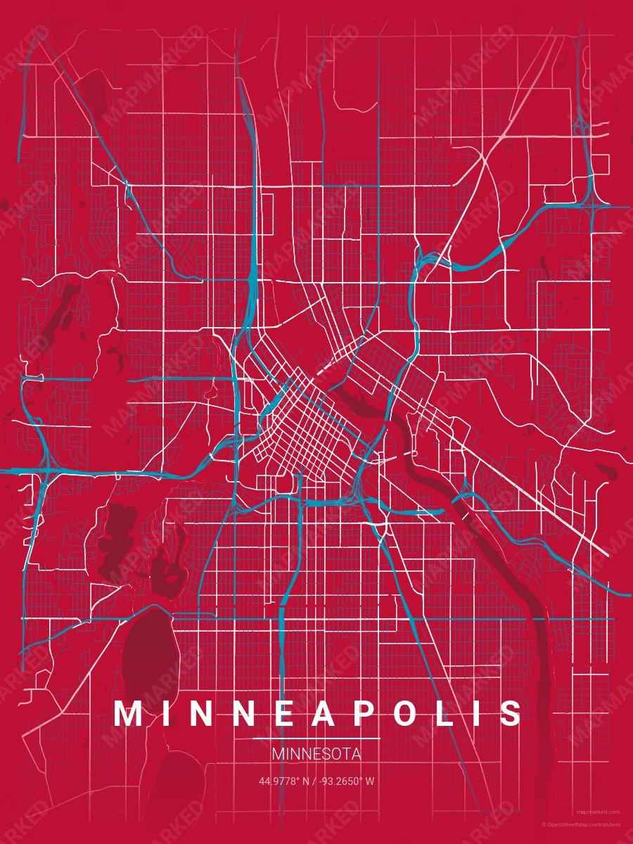
Minneapolis Diamond 6
Red base with blue primary roads and white accents. A throwback palette for the 1961–1975 era.
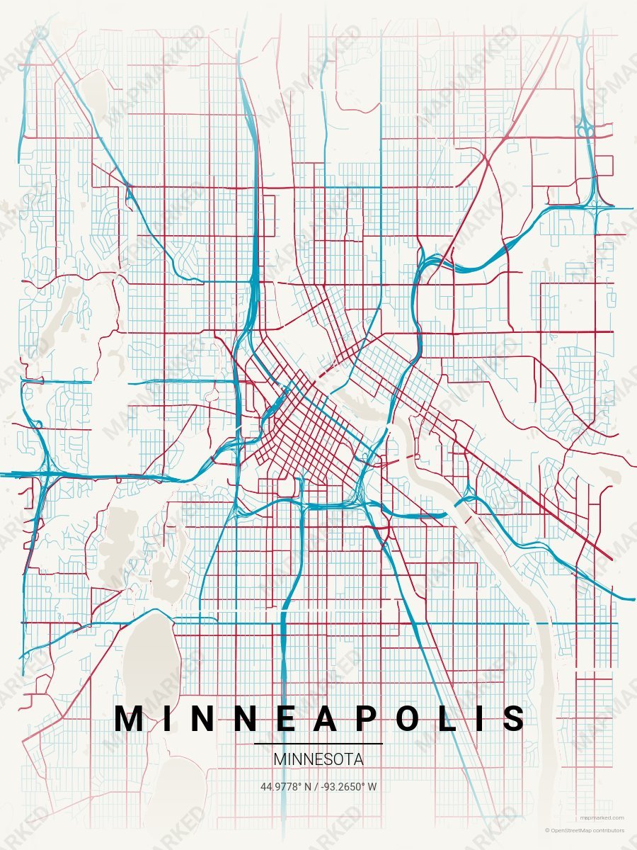
Minneapolis Diamond 7
Clean white base with blue primary roads and red accents. A throwback palette for the 1961–1975 era.
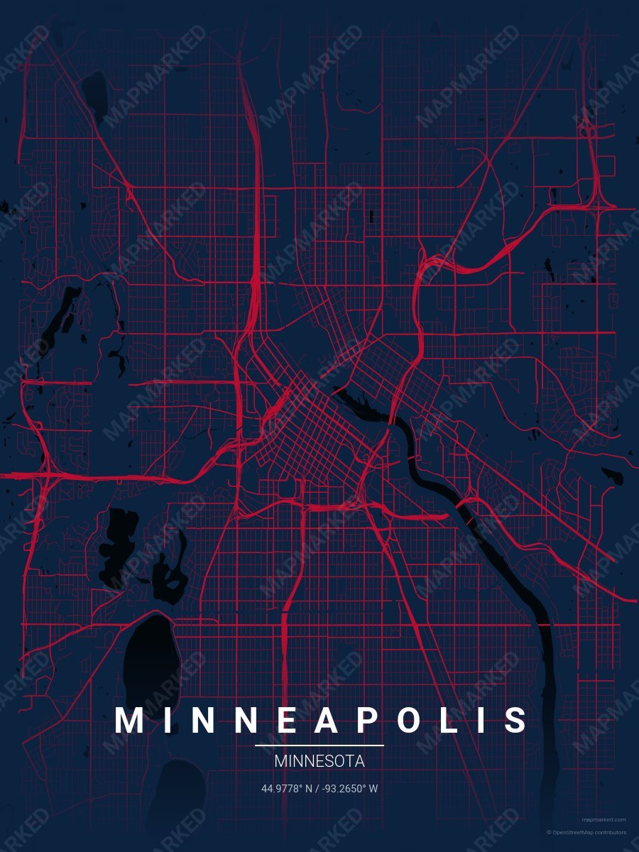
Minneapolis Diamond 8
Navy base with red roads. A throwback palette for the 1987–2009 era.
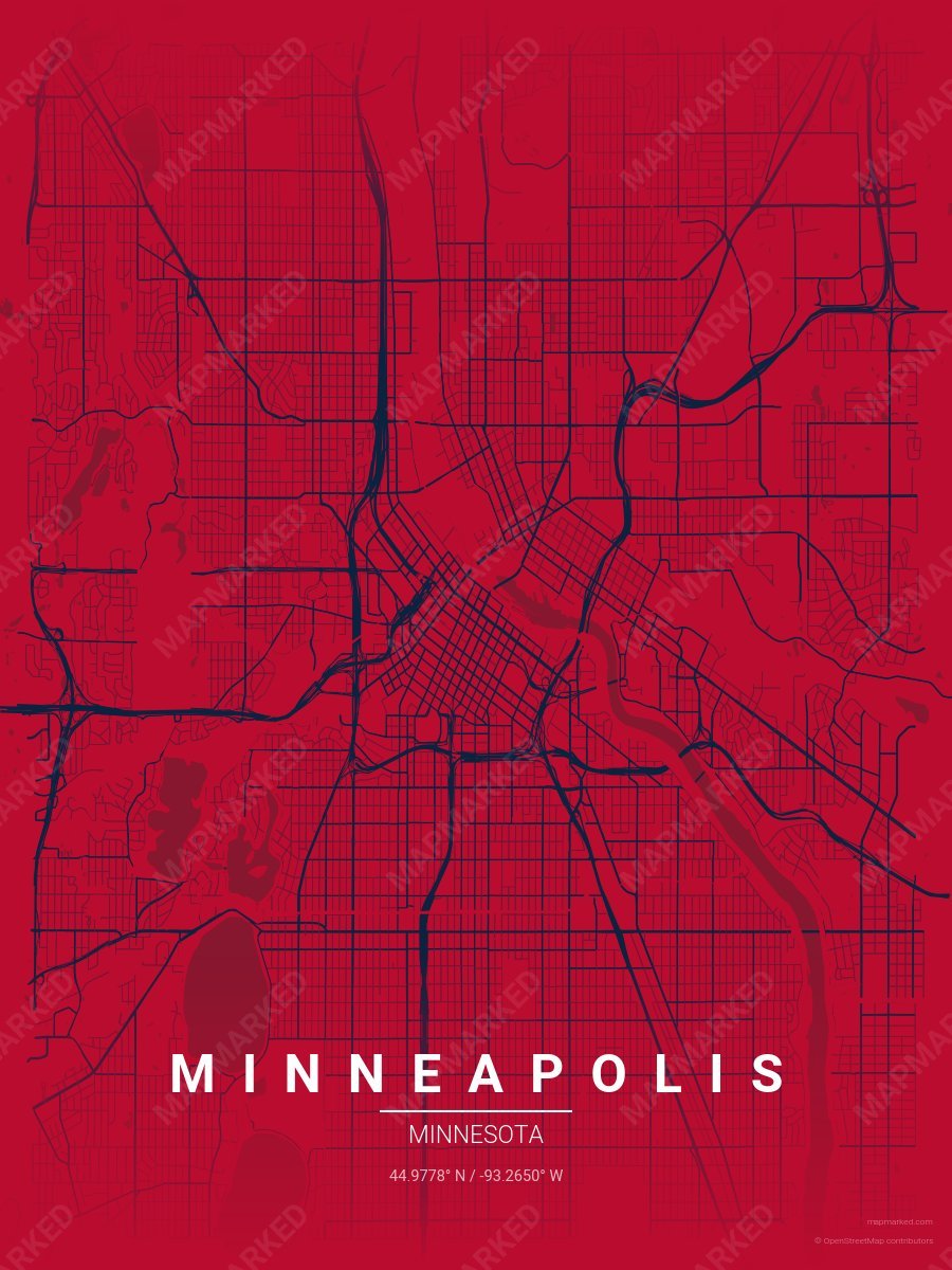
Minneapolis Diamond 9
Red base with navy roads. A throwback palette for the 1987–2009 era.
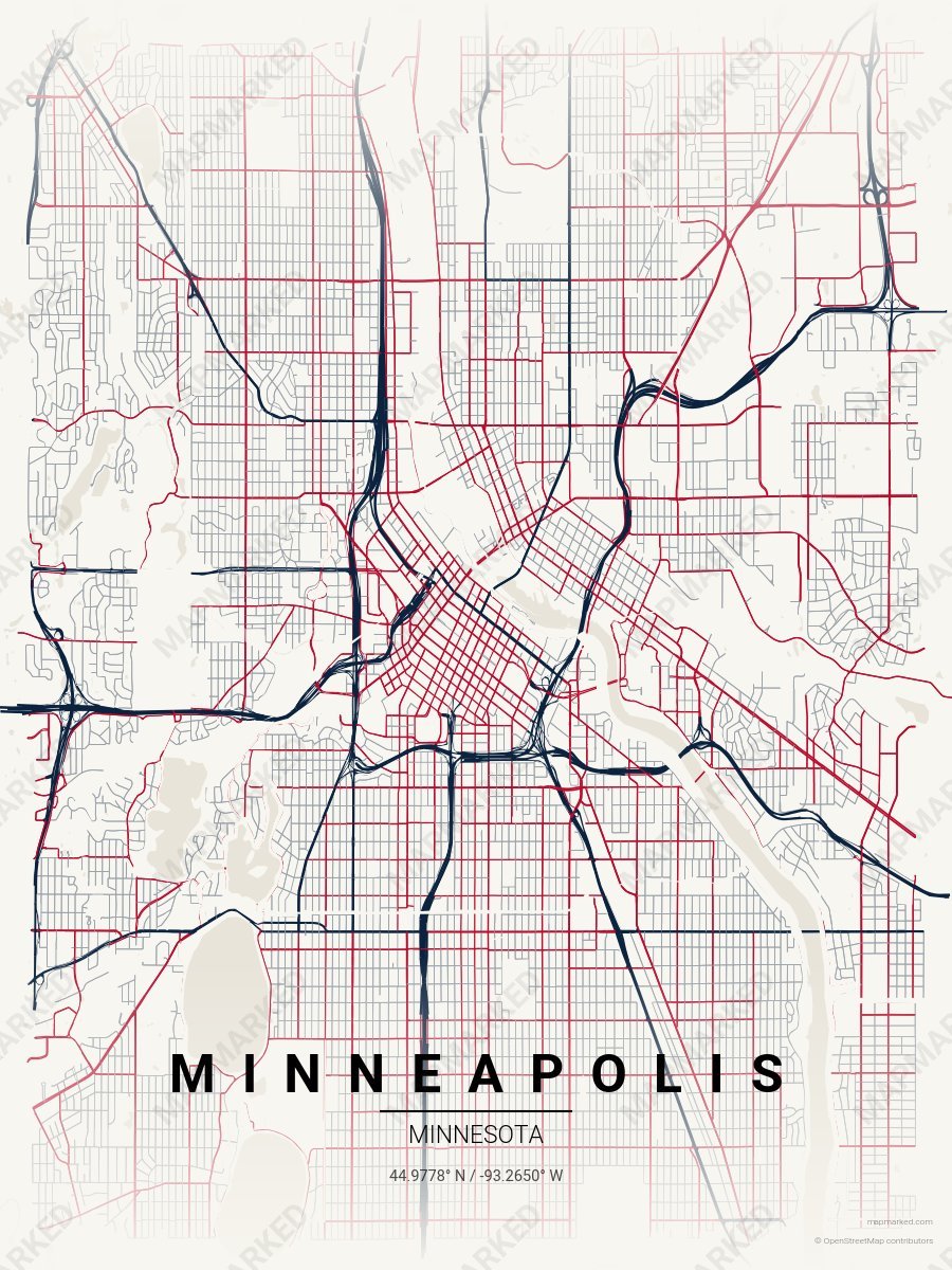
Minneapolis Diamond 10
Cream base with navy roads. A throwback palette for the 1987–2009 era.
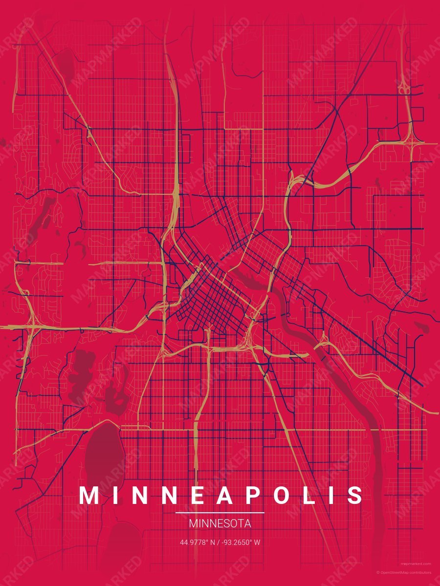
Minneapolis Diamond 2
Red base with gold primary roads and navy accents. A palette for Minneapolis baseball fans and game-day prints.
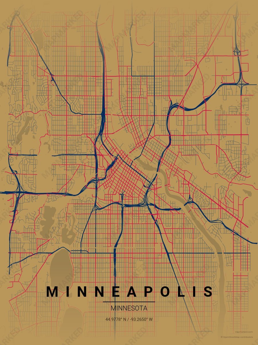
Minneapolis Diamond 3
Gold base with navy primary roads and red accents. A palette for Minneapolis baseball fans and game-day prints.
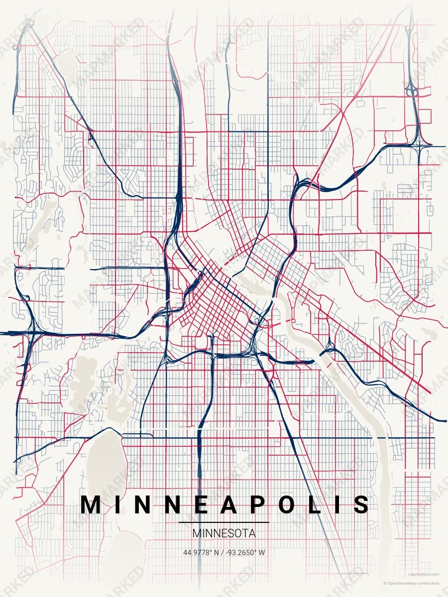
Minneapolis Diamond 4
Cream base with navy primary roads and red accents. A palette for Minneapolis baseball home prints and gallery walls.
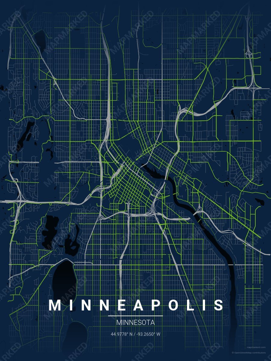
Minneapolis Hardwood 1
Blue base with grey primary roads and green accents. A palette for Minneapolis basketball fans and game-day prints.
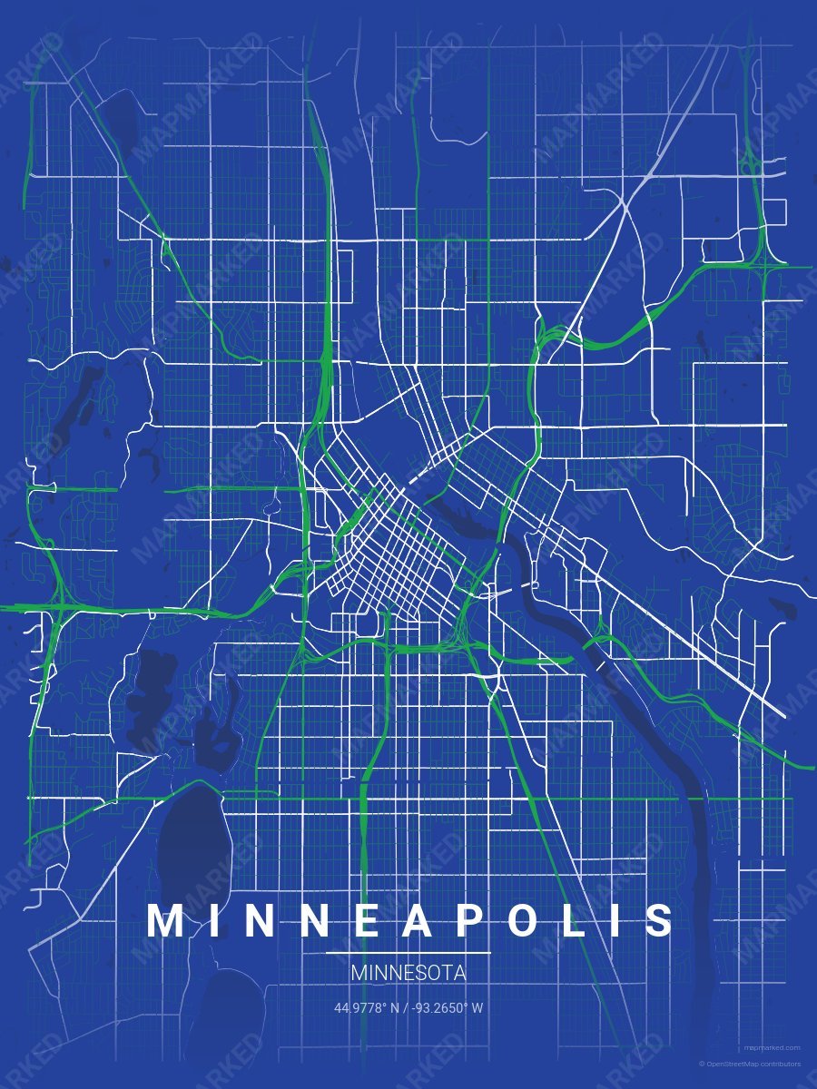
Minneapolis Hardwood 5
Blue base with green primary roads and white accents. A throwback palette for the 1989–1996 era.
Minnesota University Palettes
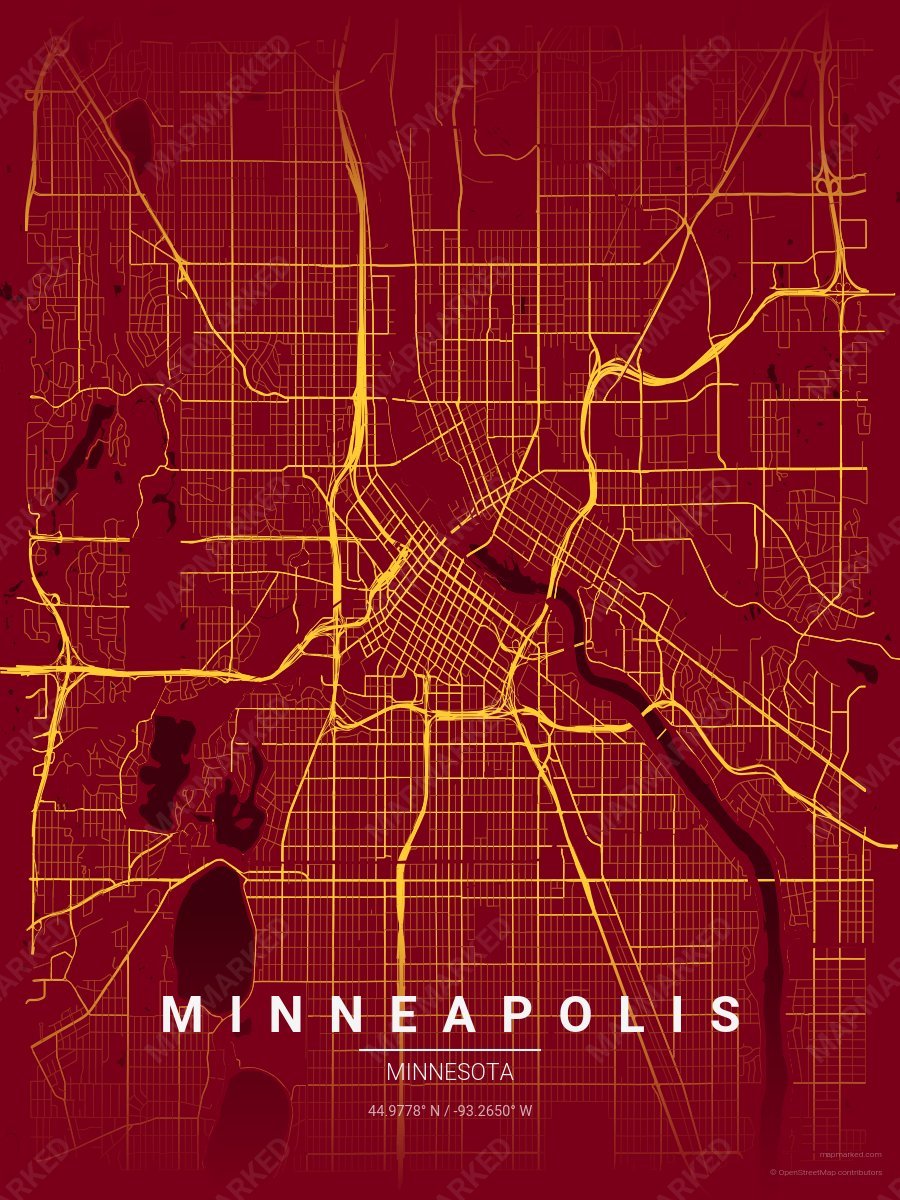
Minneapolis School Spirit 1
Maroon base with gold roads. A palette for Minneapolis college sports fans and campus prints.
Minneapolis School Spirit 2
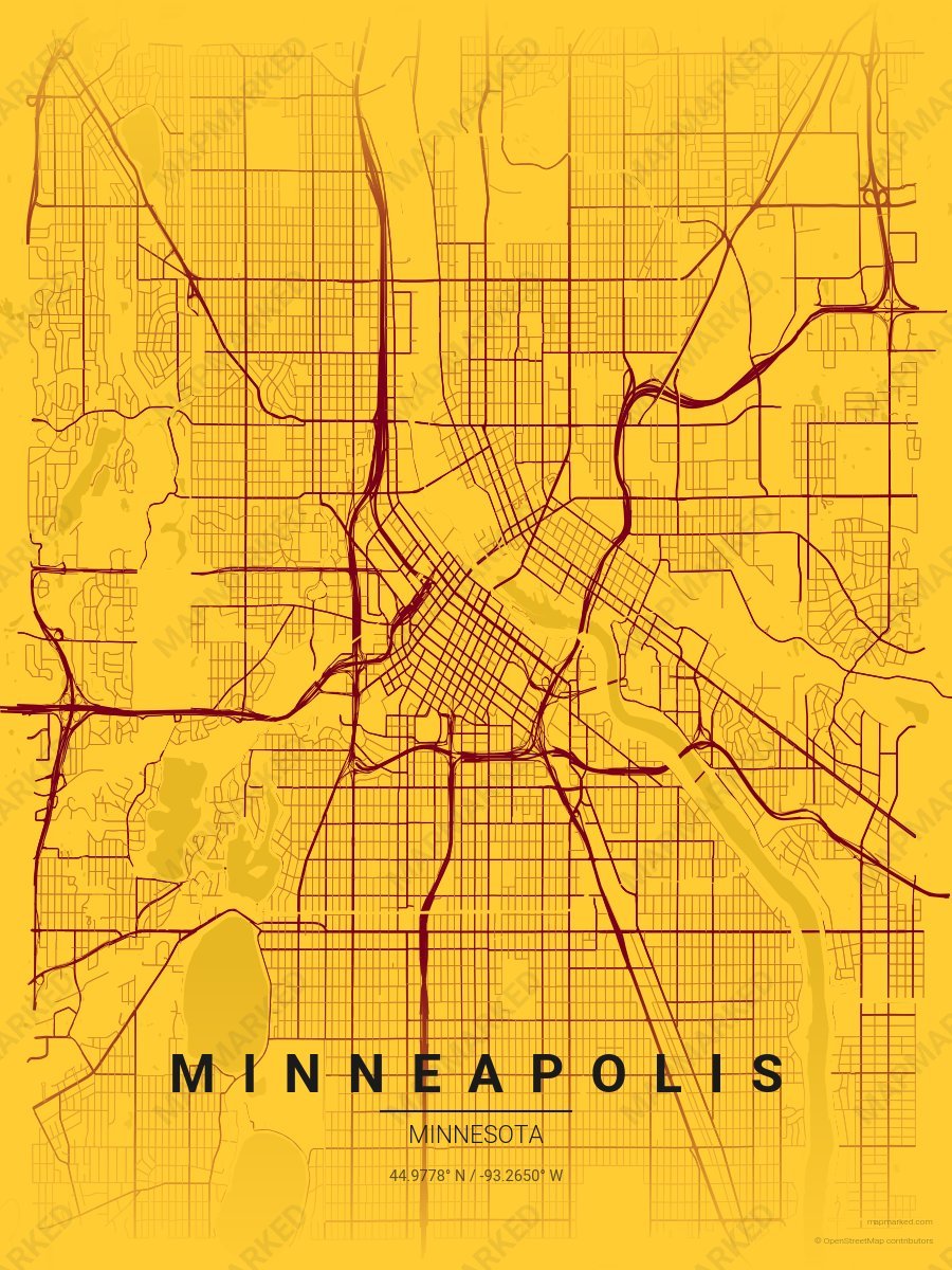
Gold base with maroon roads. A palette for Minneapolis college sports fans and campus prints.
Minneapolis School Spirit 3
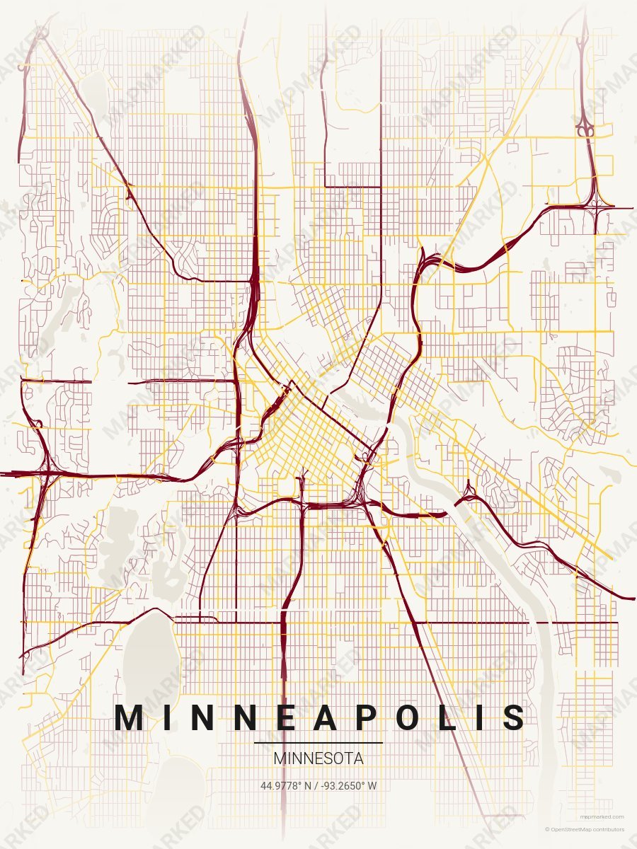
Cream base with maroon primary roads and gold accents. A palette for Minneapolis college sports home prints and campus walls.