Milan Map Art
Milan's street grid radiates outward from the Duomo in concentric rings — the medieval city center gives way to the Navigli canal system that once connected the city to lakes and rivers, now visible as diagonal waterways threading through the southwest neighborhoods. The city breaks this pattern sharply at its edges, where the Sempione axis drives northwest toward the Sforzesco Castle, and the railway yards sprawl across the northern flank, anchored by the Stazione Centrale.
45.4642° N, 9.1900° E
Milan Sports Palettes
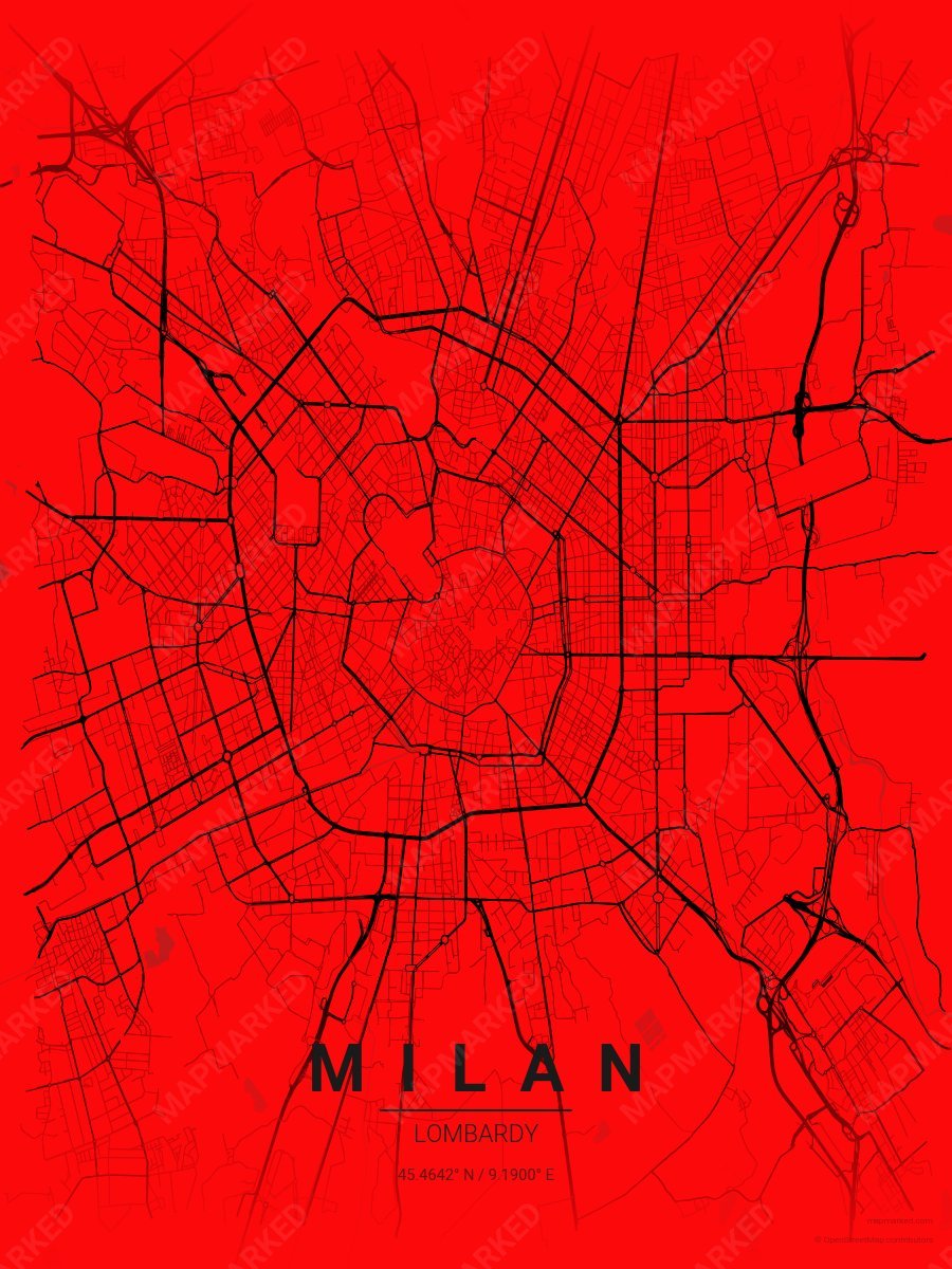
Milan Soccer 1
Red base with black roads. A palette for Milan Italian soccer fans and game-day prints.
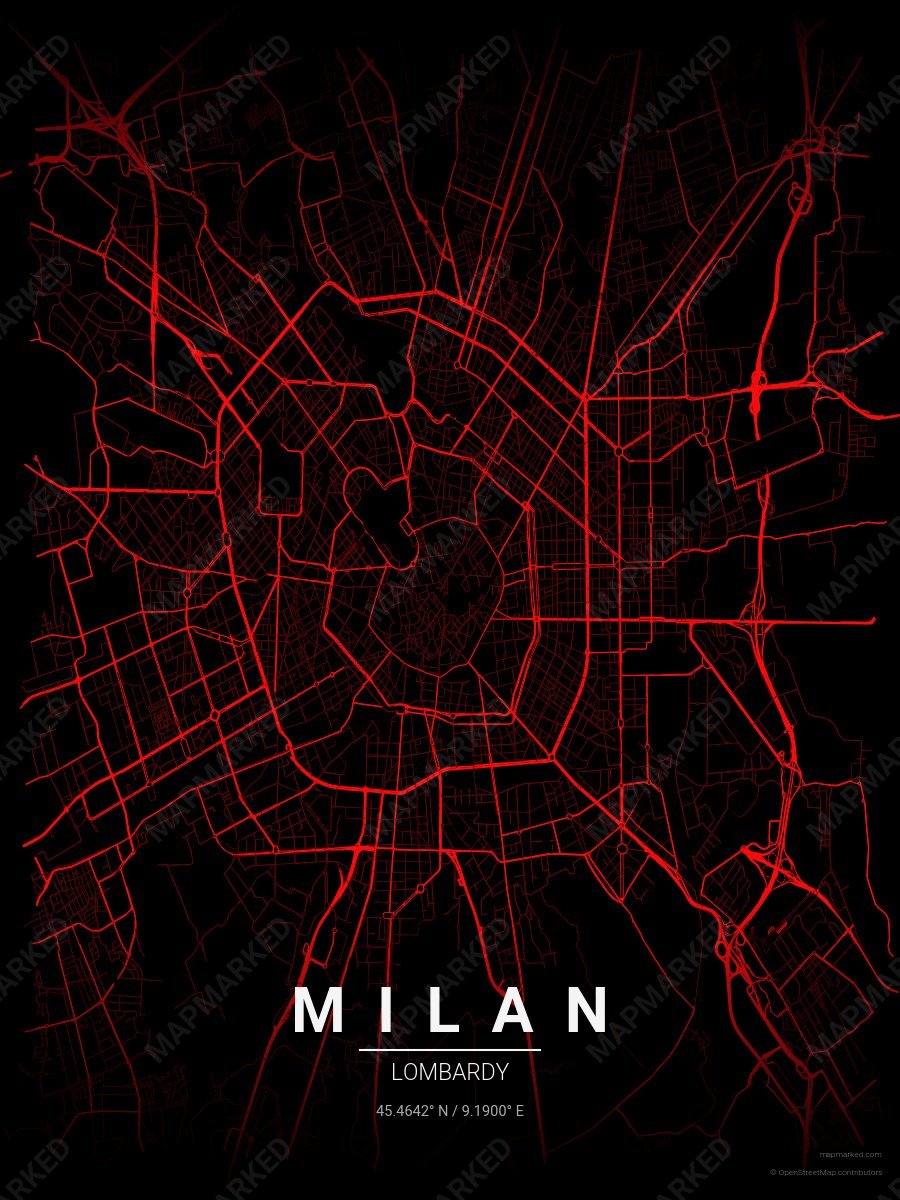
Milan Soccer 2
Black base with red roads. A palette for Milan Italian soccer fans and game-day prints.
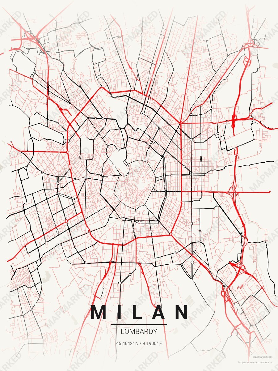
Milan Soccer 3
Cream base with red primary roads and black accents. A palette for Milan Italian soccer home prints and gallery walls.
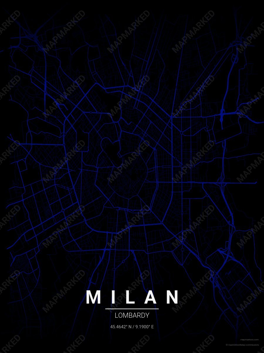
Milan Soccer 4
Black base with blue roads. A palette for Milan Italian soccer fans and game-day prints.
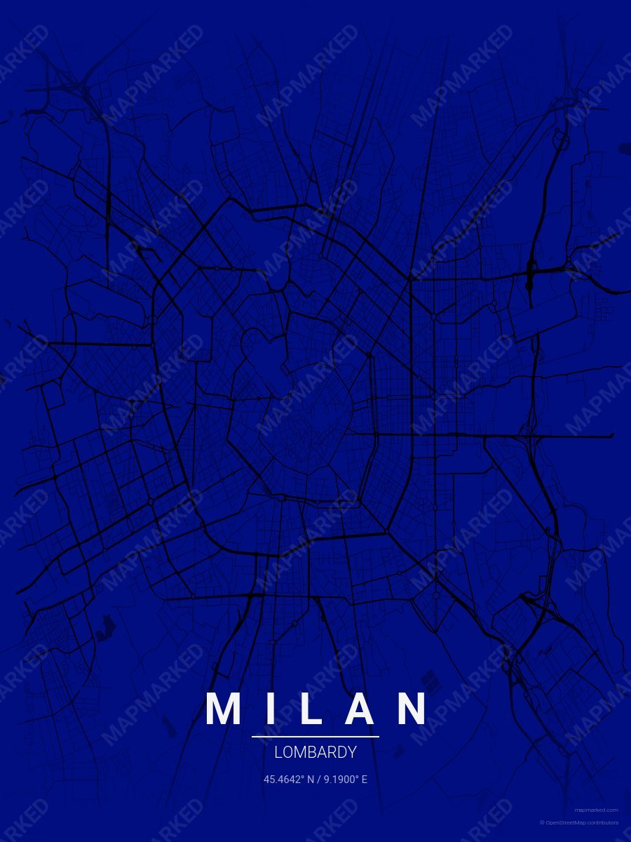
Milan Soccer 5
Blue base with black roads. A palette for Milan Italian soccer fans and game-day prints.
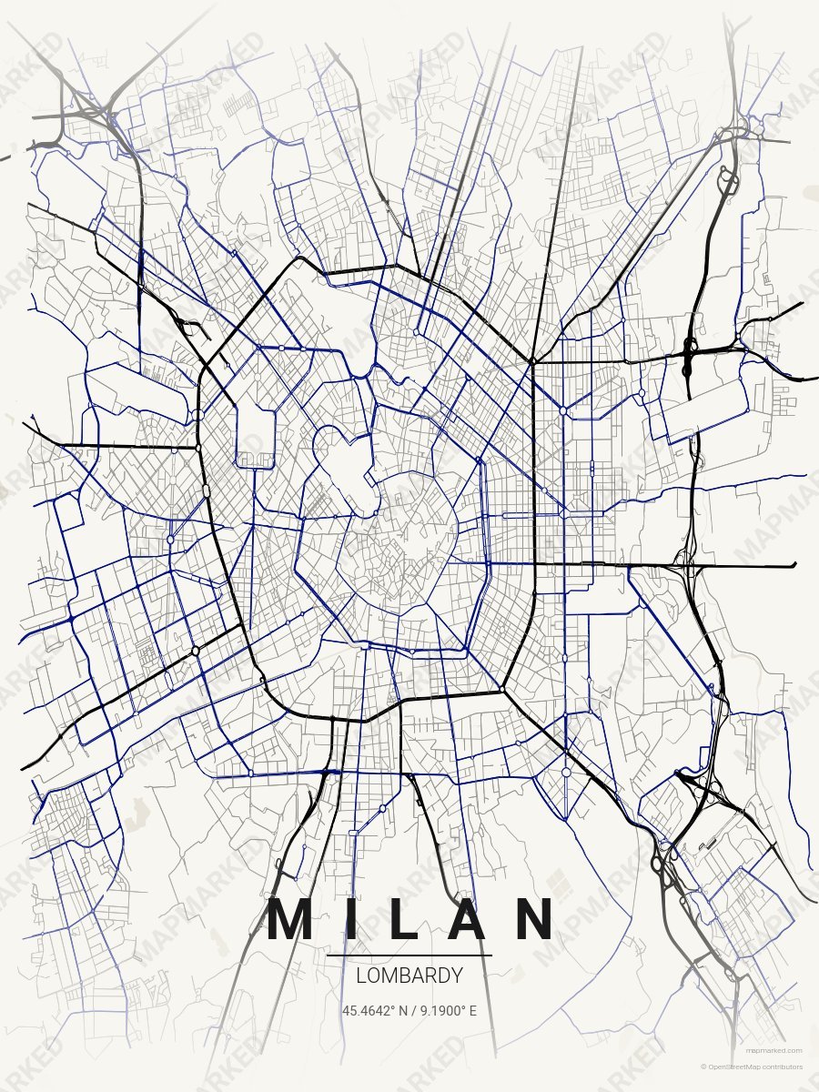
Milan Soccer 6
Cream base with black primary roads and blue accents. A palette for Milan Italian soccer home prints and gallery walls.