Lisbon Map Art
Lisbon's map reveals a city built on seven hills that plunge steeply to the Tagus River estuary, creating dramatic elevation changes visible in the tight switchbacks of streets like Rua da Rosa and the funiculars connecting lower and upper neighborhoods. The grid of Pombaline streets—straight avenues and perpendicular cross-streets—orders the lower city after the 1755 earthquake, radiating from Terreiro do Paço on the waterfront. The Tagus cuts a wide bend through the center, with the 25 de Abril Bridge spanning downstream and Belém's monuments anchoring the western reach along the water's edge.
38.7223° N, 9.1393° W
Lisbon City Palettes
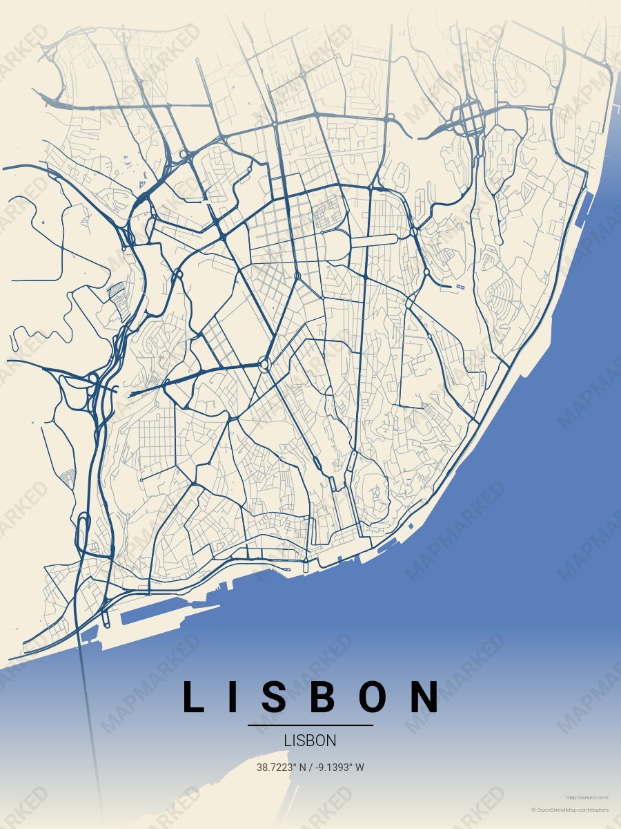
Lisbon Azulejo
Oat cream base with azulejo tile roads. A palette for Alfama afternoons and Sao Vicente mornings.
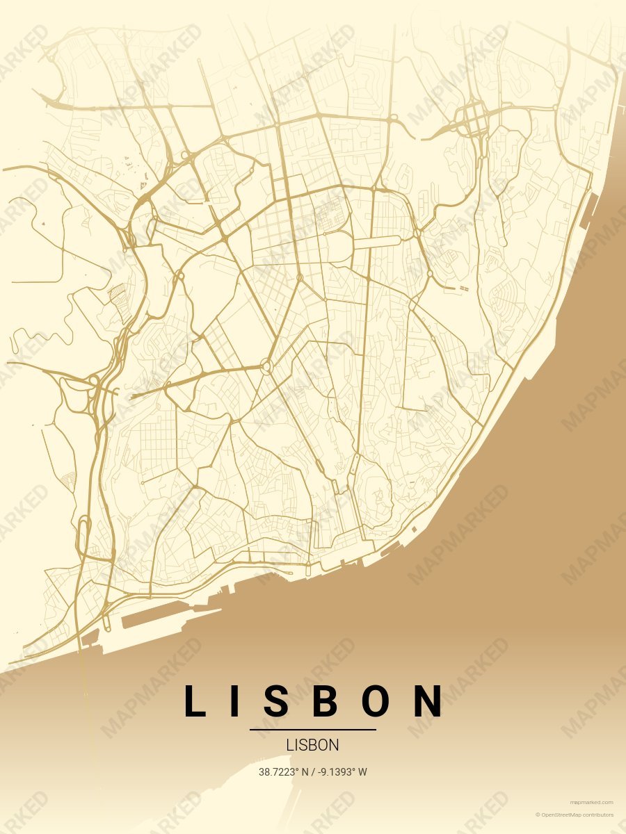
Lisbon Pastel de Nata
Cream base with pastel de nata roads. A palette for Belém afternoons and pasteleria evenings.
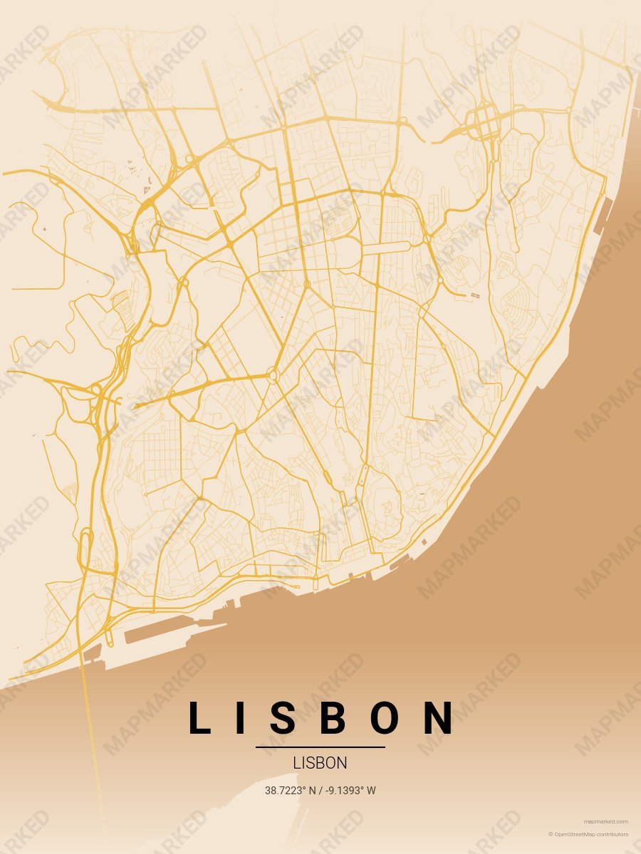
Lisbon Tram Yellow
Warm sand base with tram yellow roads. A palette for Tram 28 afternoons and Bairro Alto evenings.