Kyoto Map Art
Kyoto's grid runs perfectly north-south and east-west, laid out in the 8th century and still visible in its numbered streets—Ichijo through Kujo running east-west, Horikawa through Senbon running north-south. The Kamo River bisects the city from north to south, with temples and shrines clustering along its banks and in the eastern Higashiyama hills. Three concentric ward boundaries radiate outward from the original Imperial Palace site, defining neighborhoods that have held their names and character for over 1,200 years.
35.0116° N, 135.7681° E
Kyoto City Palettes
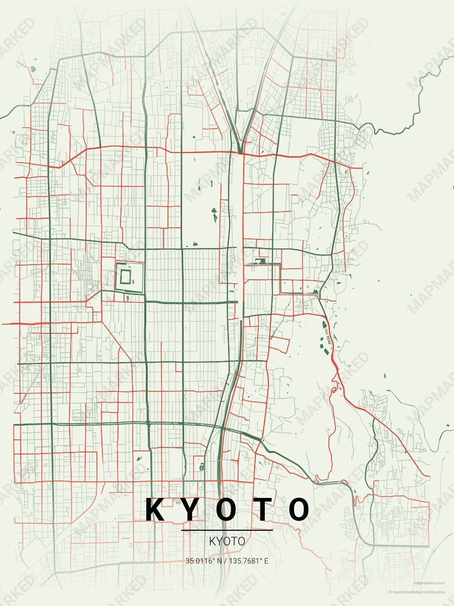
Kyoto Bamboo Grove
Pale cream base with bamboo grove green roads and torii vermilion accents. A palette for Arashiyama mornings and Fushimi Inari afternoons.
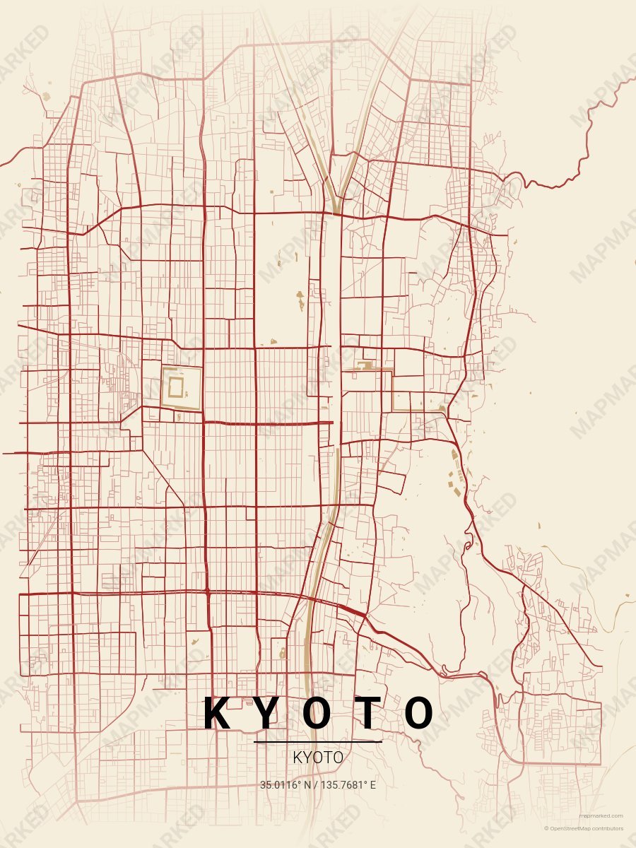
Kyoto Maiko Red
Oat cream base with maiko red roads. A palette for Gion evenings and Pontocho afternoons.
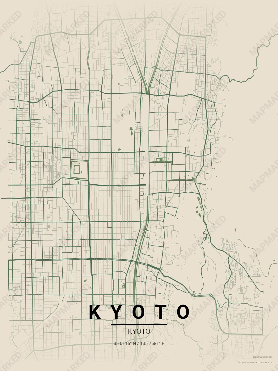
Kyoto Temple Moss
Limestone base with temple moss roads. A palette for Ryoan-ji afternoons and Kinkaku-ji mornings.