Istanbul Map Art
Istanbul's map is split by the Golden Horn, a deep inlet that divides the old city from Galata and Beyoğlu to the north. The Bosphorus cuts vertically through the center, connecting the Black Sea to the Marmara, with the Asian shore visible across the strait and the European hills rising steeply on both sides. The old street grid inside the ancient walls radiates from Topkapi Palace, while modern neighborhoods sprawl outward in concentric rings, interrupted by the water's geometry.
41.0082° N, 28.9784° E
Istanbul City Palettes
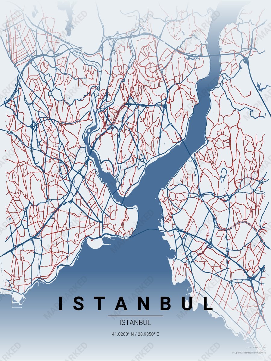
Istanbul Bosphorus
Pale mist base with Bosphorus navy roads and Hagia Sophia rose-red accents. A palette for Asian-shore ferries and European-side mornings.
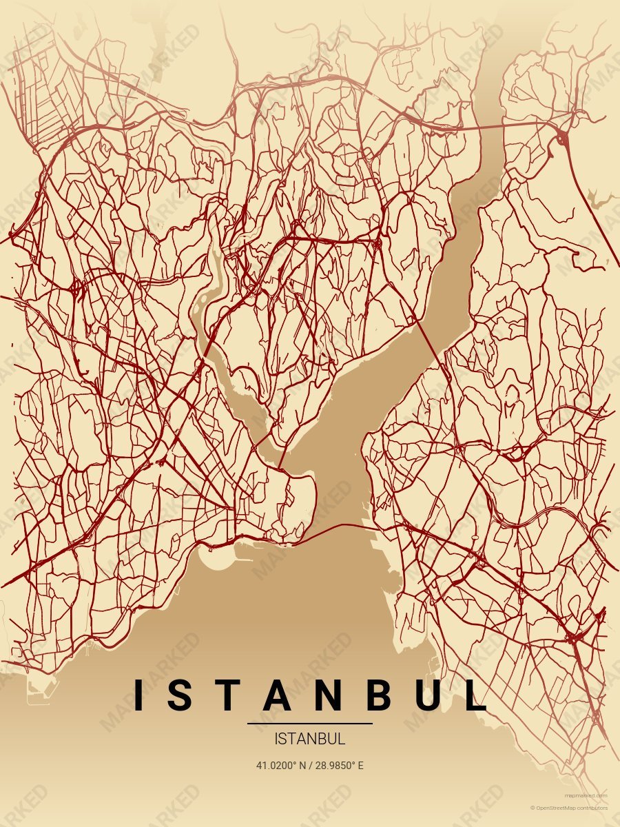
Istanbul Grand Bazaar
Wheat cream base with Grand Bazaar roads. A palette for Spice Bazaar afternoons and Sultanahmet evenings.
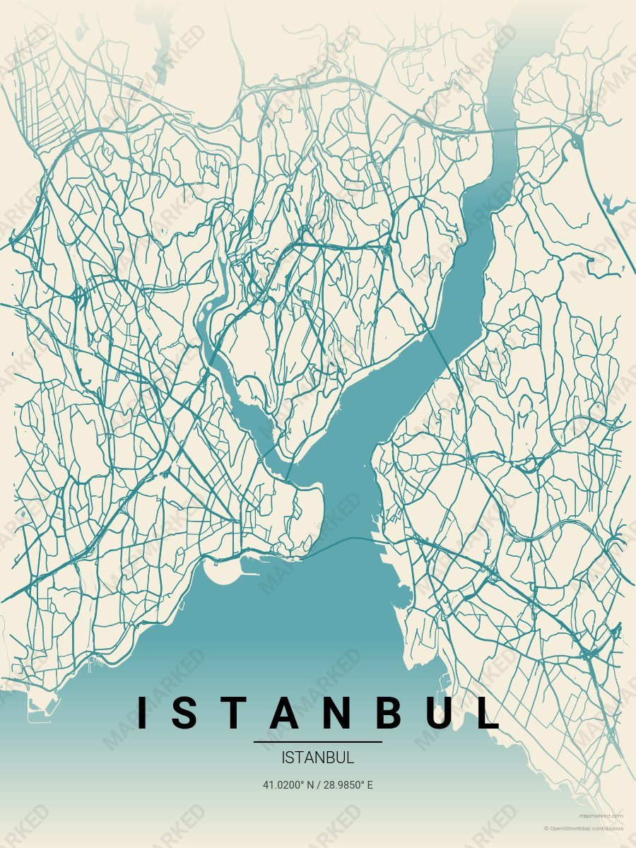
Istanbul Iznik Tile
Oat cream base with Iznik tile teal roads. A palette for Blue Mosque mornings and Topkapi tile afternoons.