Honolulu Map Art
Honolulu's map shows a narrow urban spine running east-west along the southern shore of Oahu, bounded by the Ko'olau Range to the north and the Pacific to the south. Downtown sits at the mouth of the Ala Wai Canal, which cuts inland in a straight line and frames Waikiki Beach to the east. The city's street grid fragments between the central business district and the sprawling residential neighborhoods, interrupted by Diamond Head's volcanic cone and the ridge systems that funnel traffic through a few major corridors.
21.3069° N, 157.8583° W
Honolulu City Palettes
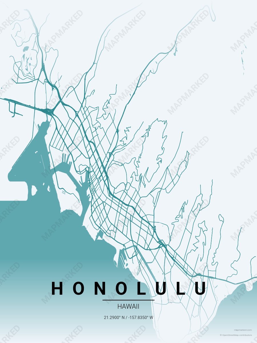
Honolulu Diamond Head
Pale sky base with Diamond Head teal roads. A palette for Diamond Head sunrise hikes and Waikiki afternoons.
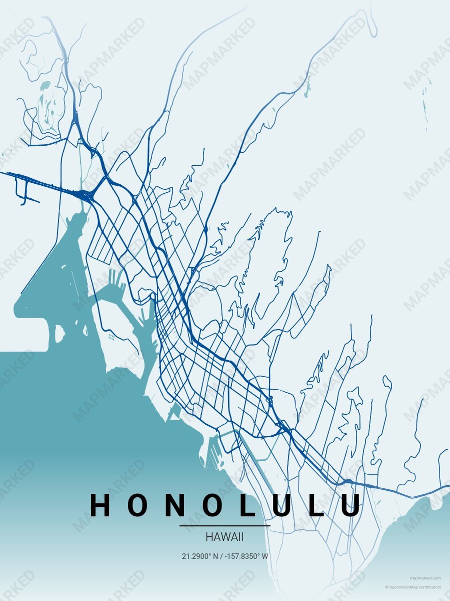
Honolulu Pacific Blue
Pale aqua base with Pacific navy roads. A palette for Hanauma Bay snorkels and North Shore drives.
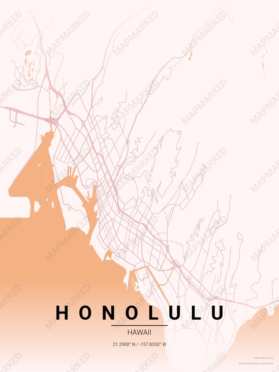
Honolulu Plumeria
Blossom base with plumeria pink roads. A palette for Moana Surfrider mornings and leis-shop afternoons.
Hawaii University Palettes
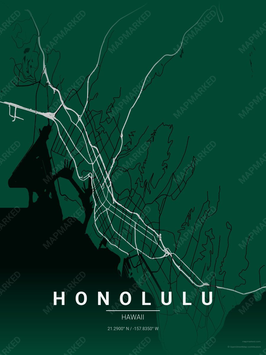
Honolulu School Spirit 1
Green base with silver primary roads and black accents. A palette for Honolulu college sports fans and campus prints.
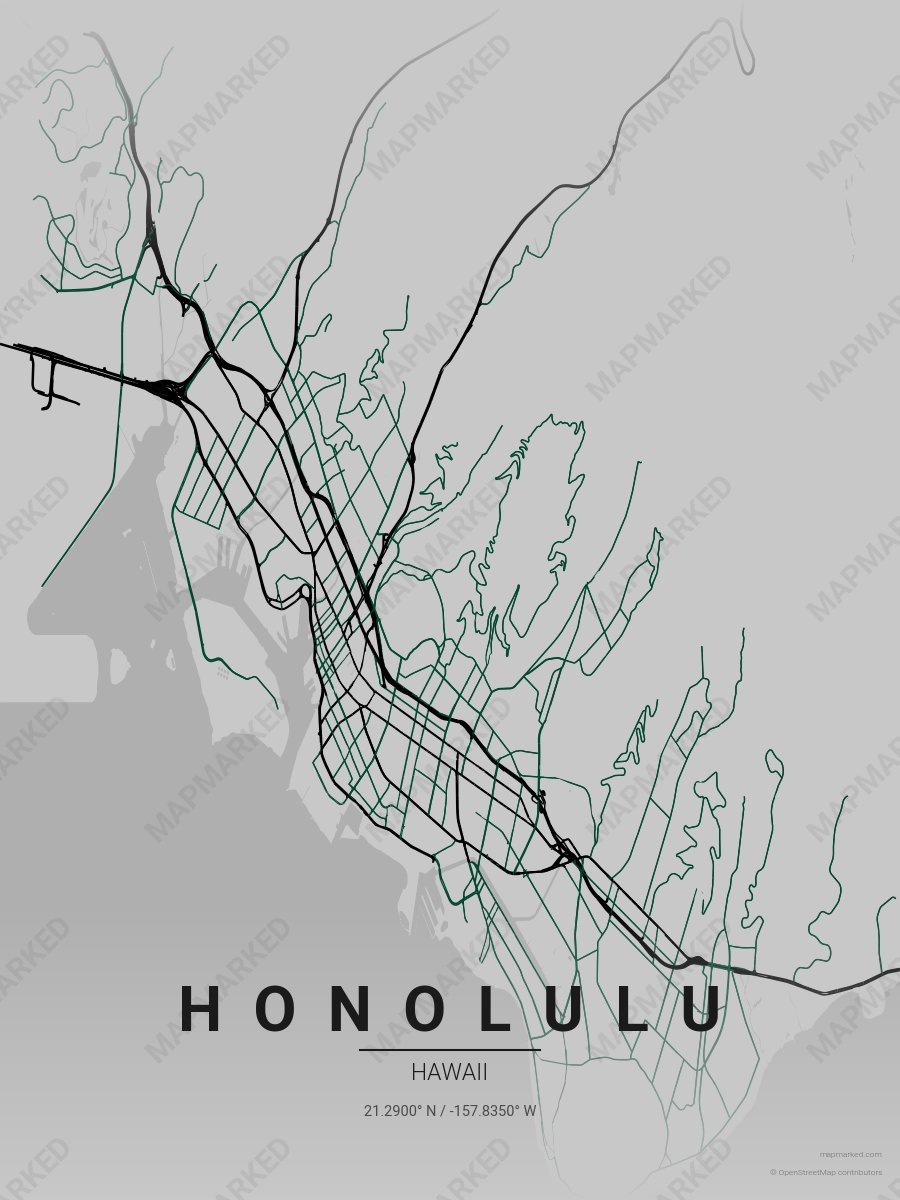
Honolulu School Spirit 2
Silver base with black primary roads and green accents. A palette for Honolulu college sports fans and campus prints.
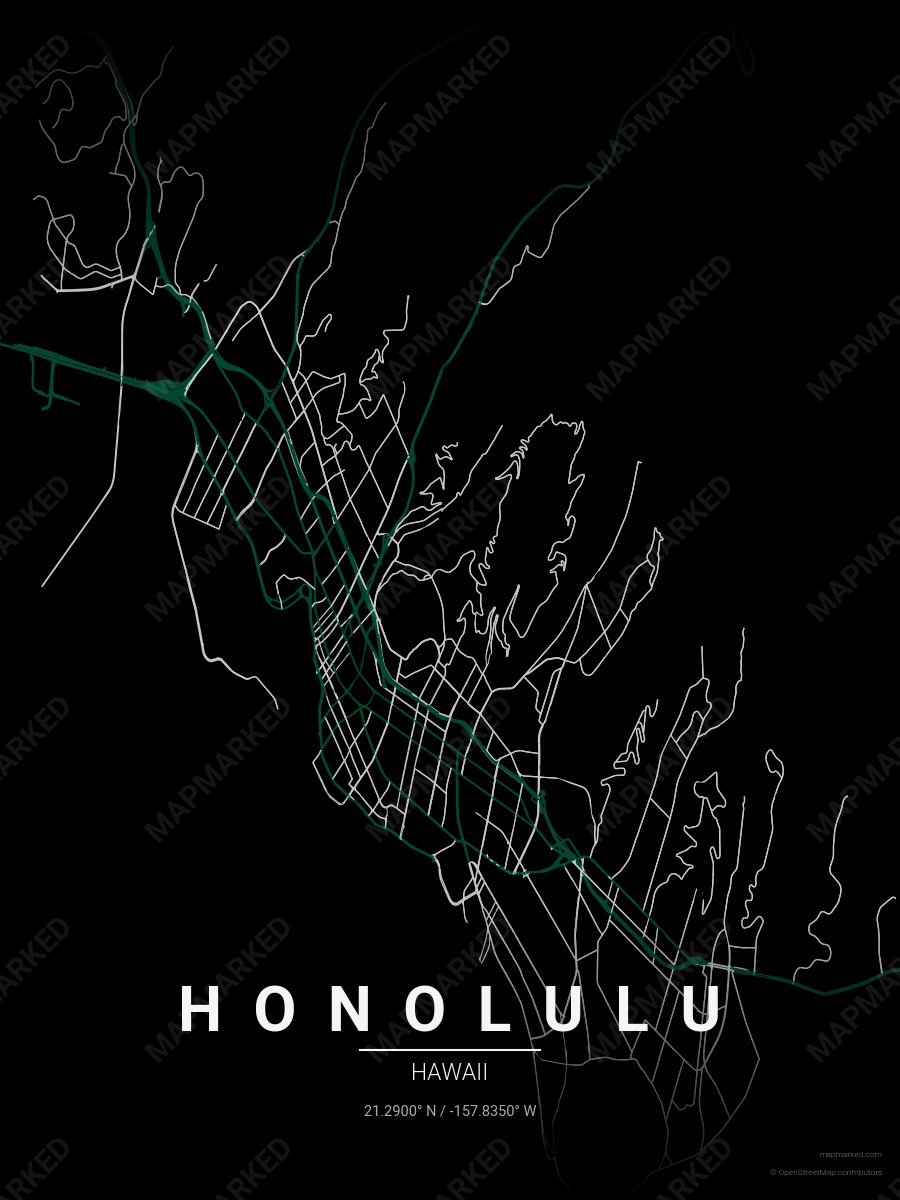
Honolulu School Spirit 3
Black base with green primary roads and silver accents. A palette for Honolulu college sports fans and campus prints.
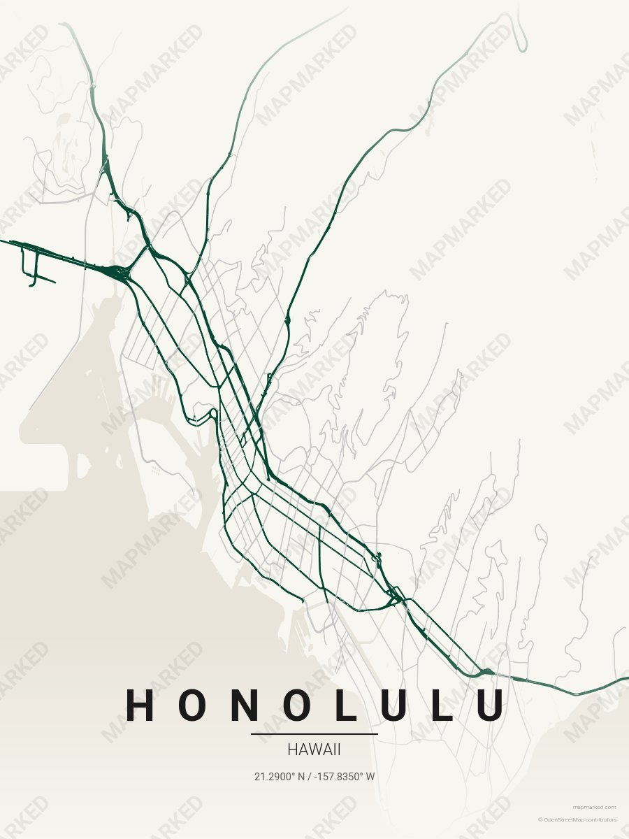
Honolulu School Spirit 4
Cream base with green primary roads and silver accents. A palette for Honolulu college sports home prints and campus walls.