Florence Map Art
Florence's medieval street grid radiates from the Duomo, with the Arno River cutting a hard diagonal through the city's center. The Ponte Vecchio anchors the river crossing, while the tight web of streets in the historic core gives way to broader avenues—the viali—that trace the former city walls in a near-complete ring.
43.7696° N, 11.2558° E
Florence Sports Palettes
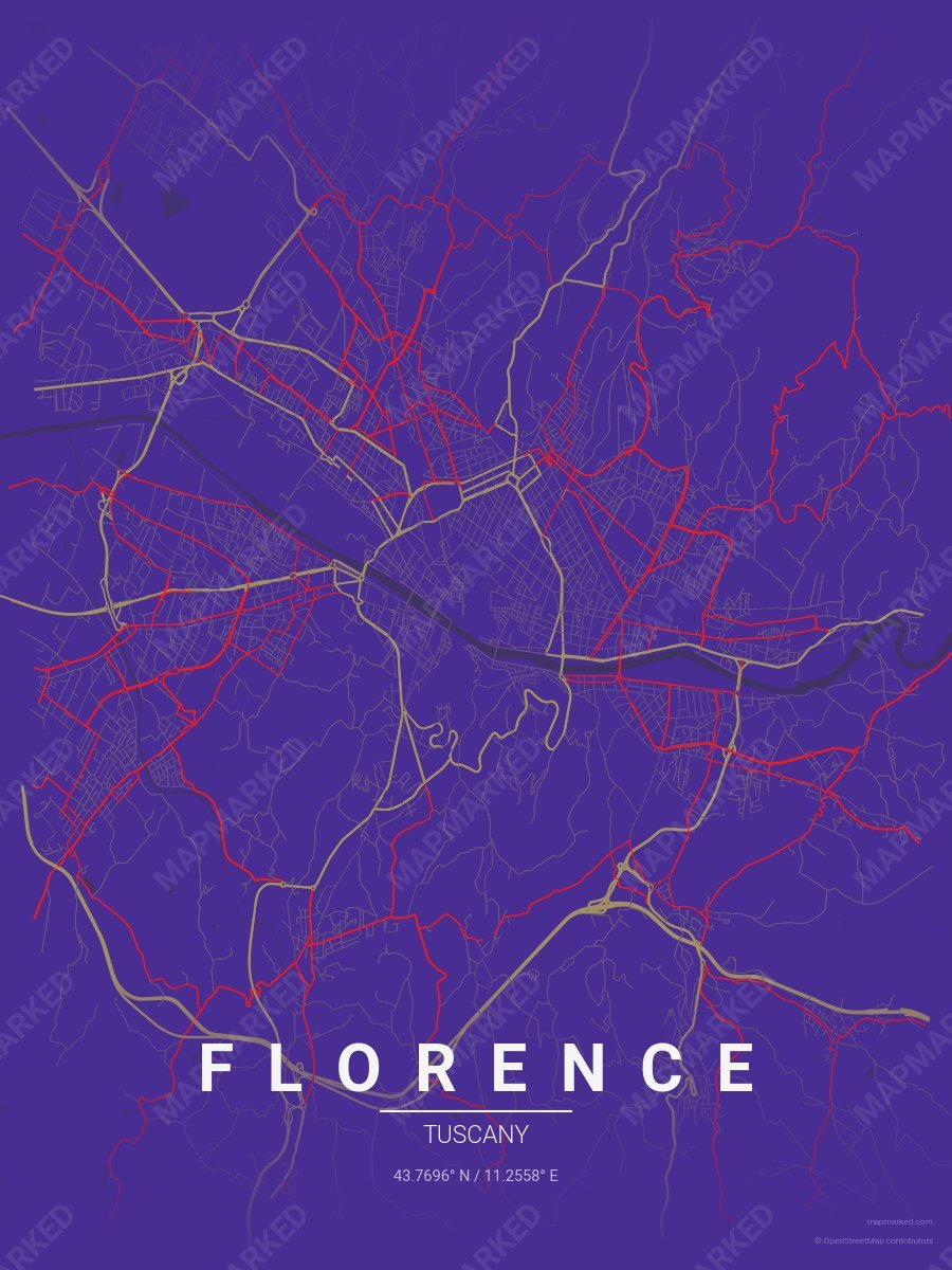
Florence Soccer 1
Purple base with gold primary roads and red accents. A palette for Florence Italian soccer fans and game-day prints.
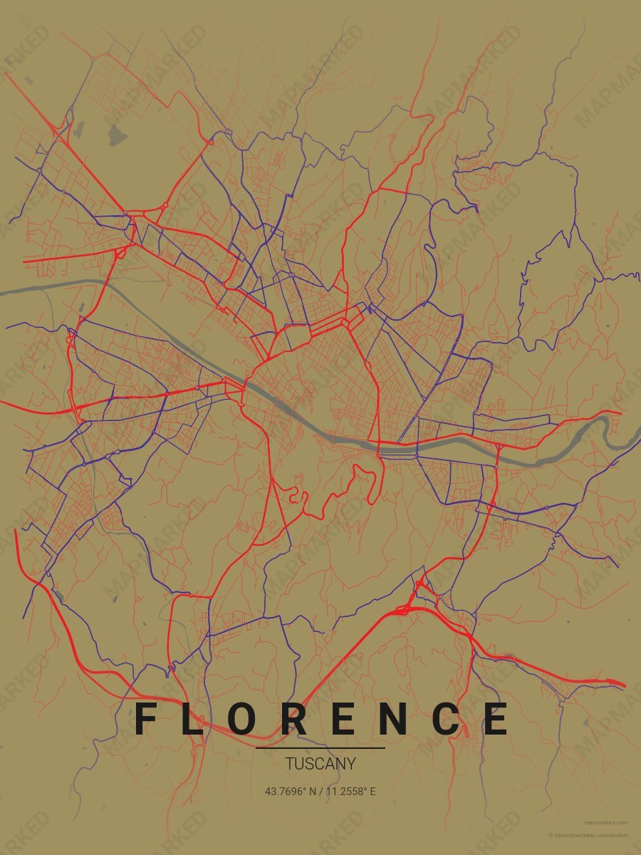
Florence Soccer 2
Gold base with red primary roads and purple accents. A palette for Florence Italian soccer fans and game-day prints.
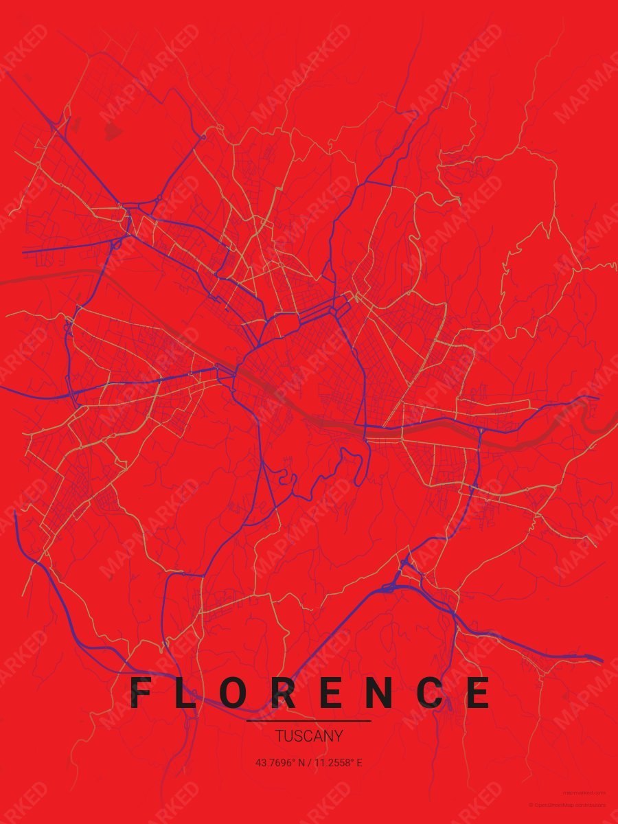
Florence Soccer 3
Red base with purple primary roads and gold accents. A palette for Florence Italian soccer fans and game-day prints.
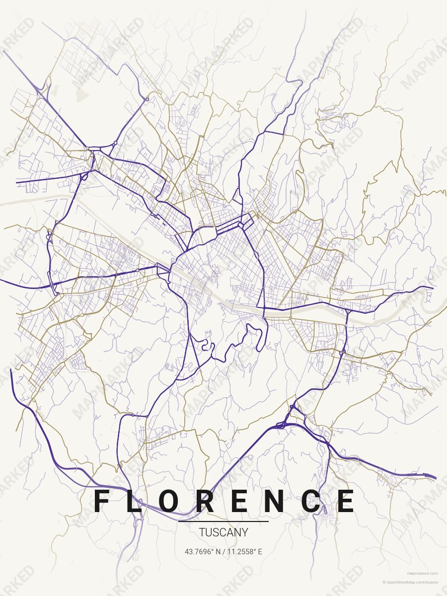
Florence Soccer 4
Cream base with purple primary roads and gold accents. A palette for Florence Italian soccer home prints and gallery walls.