Fargo Map Art
Fargo's grid sits on the western bank of the Red River, which marks the border with Minnesota and flows northward in a lazy curve through the city center. The street pattern follows a strict cardinal orientation, with Broadway running north-south as the main spine and the numbered avenues stacking east-west in regular intervals. Interstate 94 cuts diagonally across the northern edge, and the railroad corridor threads parallel to the river, anchoring the industrial and older residential areas along the water.
46.8772° N, 96.7898° W
North Dakota University Palettes
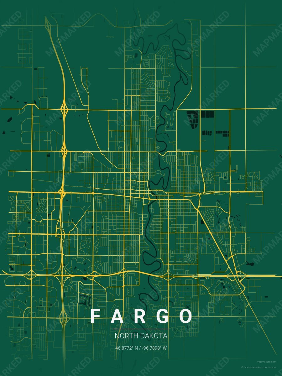
Fargo School Spirit 1
Green base with yellow roads. A palette for Fargo college sports fans and campus prints.

Fargo School Spirit 2
Yellow base with green roads. A palette for Fargo college sports fans and campus prints.
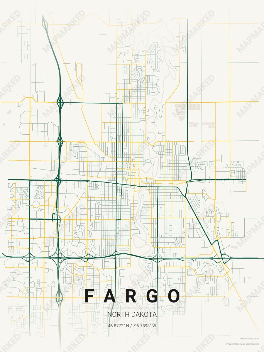
Fargo School Spirit 3
Cream base with green primary roads and yellow accents. A palette for Fargo college sports home prints and campus walls.

Grand Forks School Spirit 1
Green base with gray primary roads and black accents. A palette for Grand Forks college sports fans and campus prints.

Grand Forks School Spirit 2
Gray base with black primary roads and green accents. A palette for Grand Forks college sports fans and campus prints.

Grand Forks School Spirit 3
Black base with green primary roads and gray accents. A palette for Grand Forks college sports fans and campus prints.

Grand Forks School Spirit 4
Cream base with green primary roads and gray accents. A palette for Grand Forks college sports home prints and campus walls.