Edinburgh Map Art
Edinburgh's map splits across a dramatic ridge: the castle perches on an extinct volcanic crag, with the Royal Mile descending eastward to Holyrood Palace. The New Town spreads north in a precise Georgian grid of parallel streets—Princes Street, George Street, Queen Street—while the Firth of Forth cuts the northern edge and the Pentland Hills rise to the south, framing the city between water and ridgeline.
55.9533° N, 3.1883° W
Edinburgh City Palettes
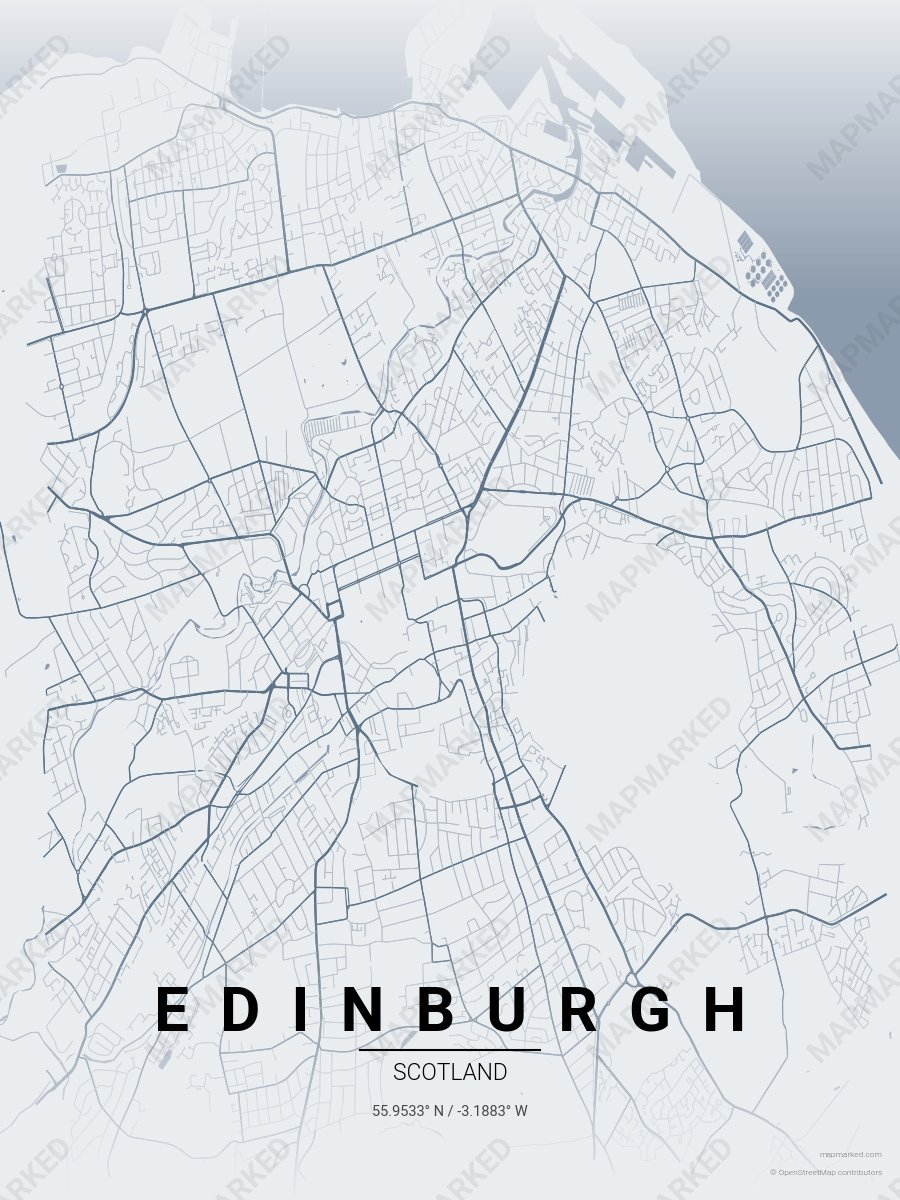
Edinburgh Castle
Pale fog base with Castle slate roads. A palette for Royal Mile afternoons and Arthur's Seat mornings.
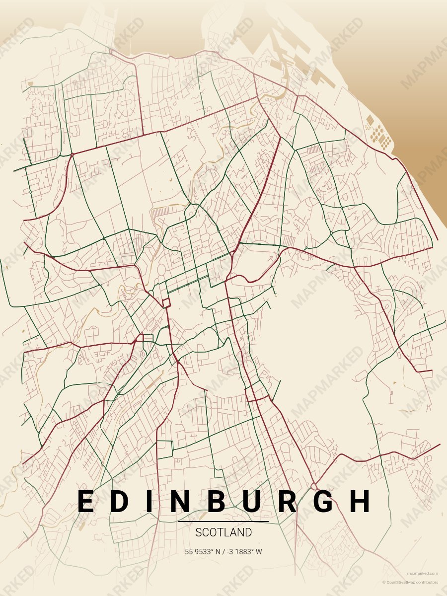
Edinburgh Tartan
Oat cream base with tartan red roads and Royal Stewart green accents. A palette for Grassmarket afternoons and Old Town evenings.
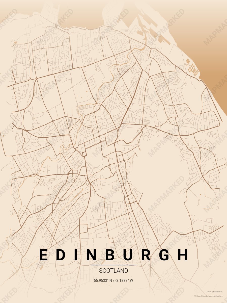
Edinburgh Whisky
Warm sand base with whisky amber roads. A palette for Scotch Whisky Experience afternoons and distillery evenings.