Copenhagen Map Art
Copenhagen's street grid follows the medieval core around Amagertorv and Strøget, then expands in planned nineteenth-century rings: the Nørrebro and Vesterbro neighborhoods radiate outward in concentric arcs. The Øresund Strait cuts the eastern edge, with the harbor forming a sharp boundary between the old city center and the flat, water-ringed districts of Christianshavn and Amager. Canals lace through the city—Nyhavn's famous waterfront runs south from the harbor mouth, while the inner lakes (Sankt Jørgens Sø and Peblinge Sø) mark where the old fortification walls once stood.
55.6761° N, 12.5683° E
Copenhagen City Palettes
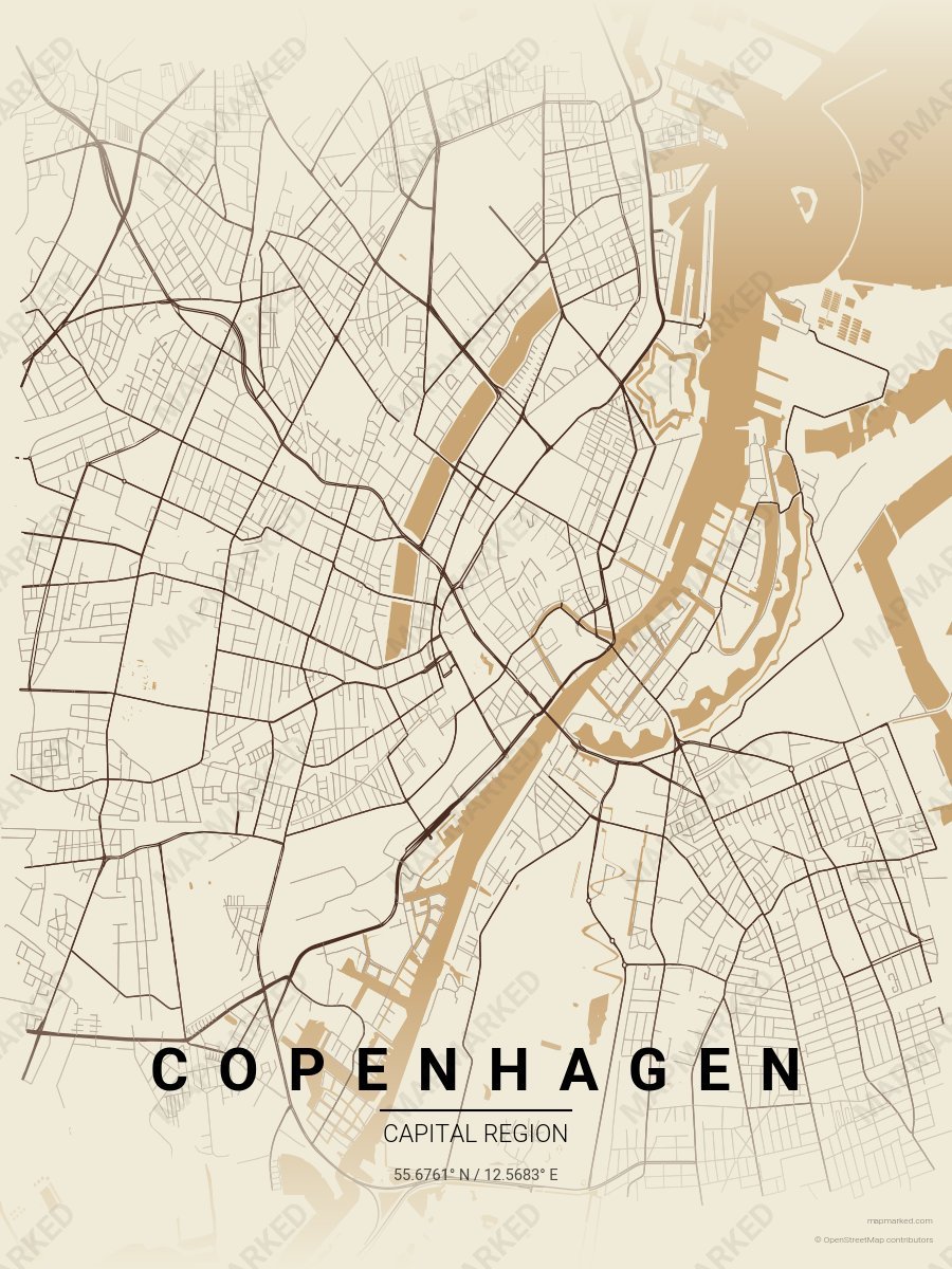
Copenhagen Hygge
Linen base with hygge wood roads. A palette for Christianshavn afternoons and coffee-shop evenings.
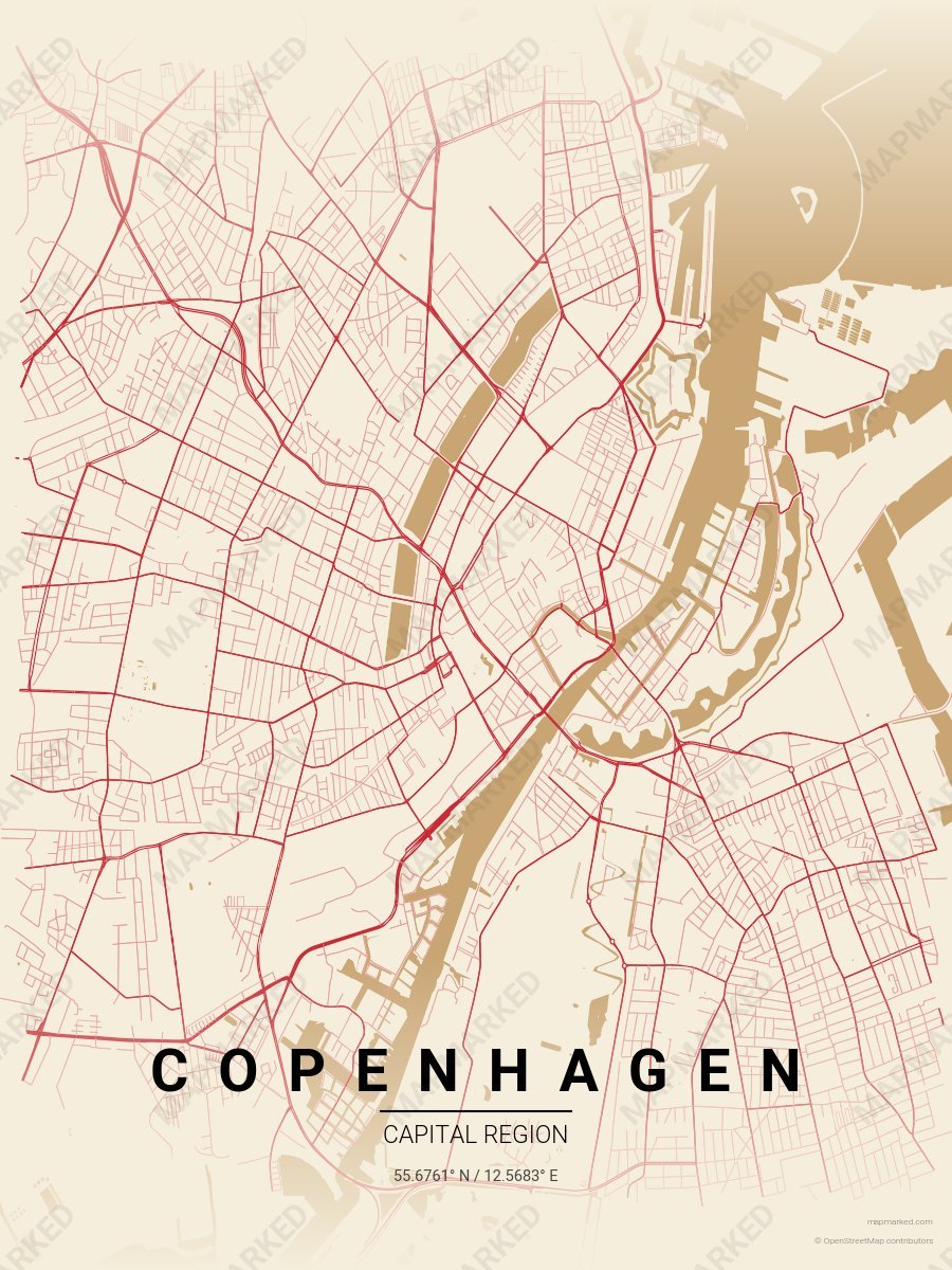
Copenhagen Nyhavn
Oat cream base with Nyhavn roads. A palette for harbor-front afternoons and pastel-facade mornings.
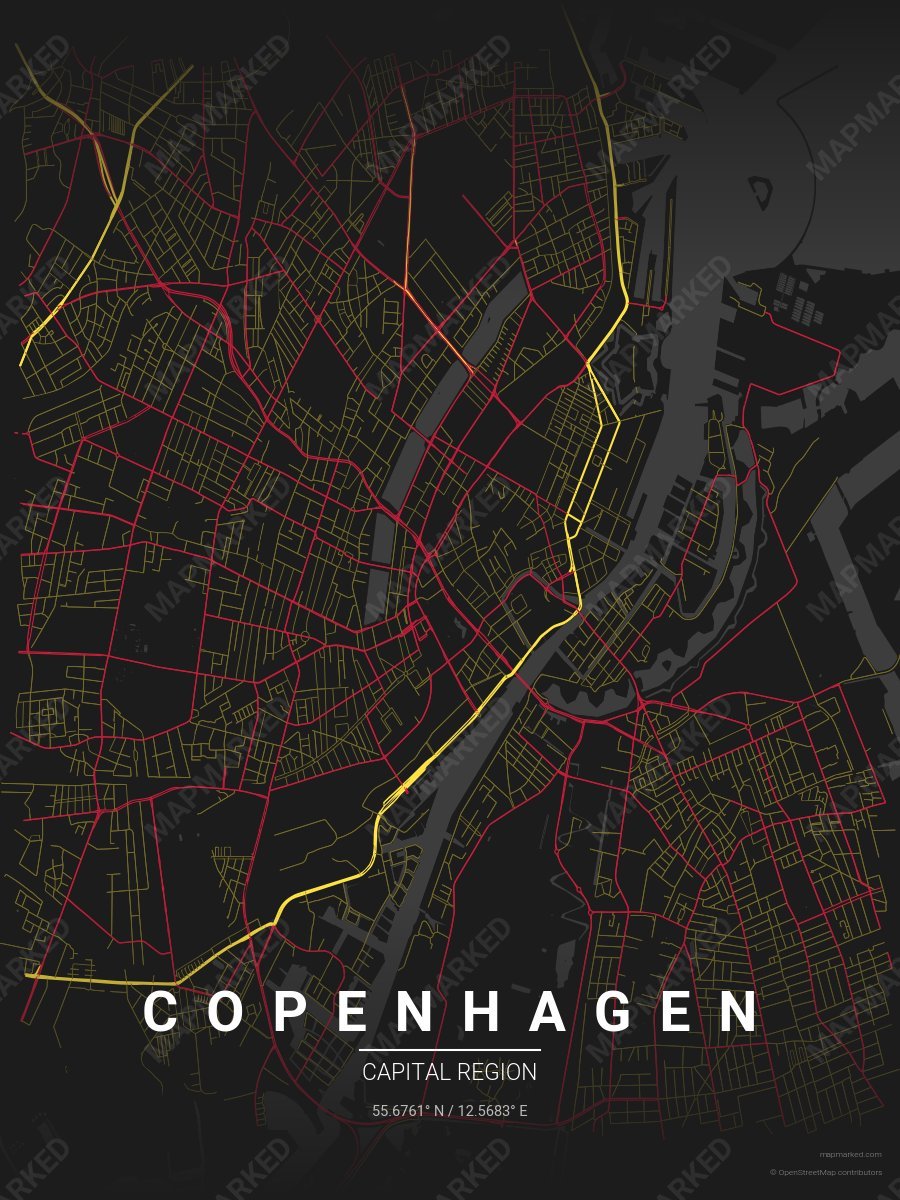
Copenhagen Tivoli
Charcoal base with Tivoli Gardens gold roads and Tivoli illumination red accents. A palette for Tivoli evenings and Strøget afternoons.