Calgary Map Art
Calgary's grid lays out in perfect rectangles across the prairie, divided by the Bow River that curves through downtown in a sharp oxbow bend. The Elbow River joins from the south, and together they create a confluence that historically anchored the settlement. Rail lines radiate outward from the downtown core, with the C-Train's two lines visible as fixed transit spines running north-south and east-west across the grid.
51.0447° N, 114.0719° W
Calgary Sports Palettes
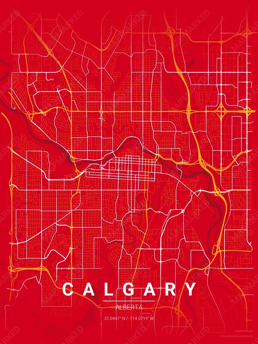
Calgary Ice 1
Red base with yellow primary roads and white accents. A palette for Calgary hockey fans and game-day prints.
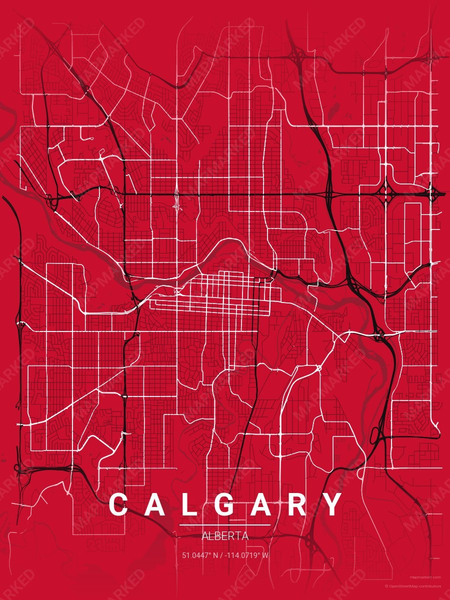
Calgary Ice 4
Red base with black primary roads and white accents. A throwback palette for the 1994–2020 era.
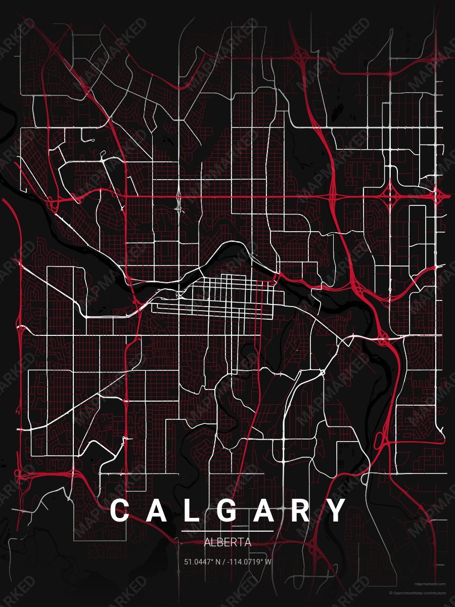
Calgary Ice 5
Black base with red primary roads and white accents. A throwback palette for the 1994–2020 era.
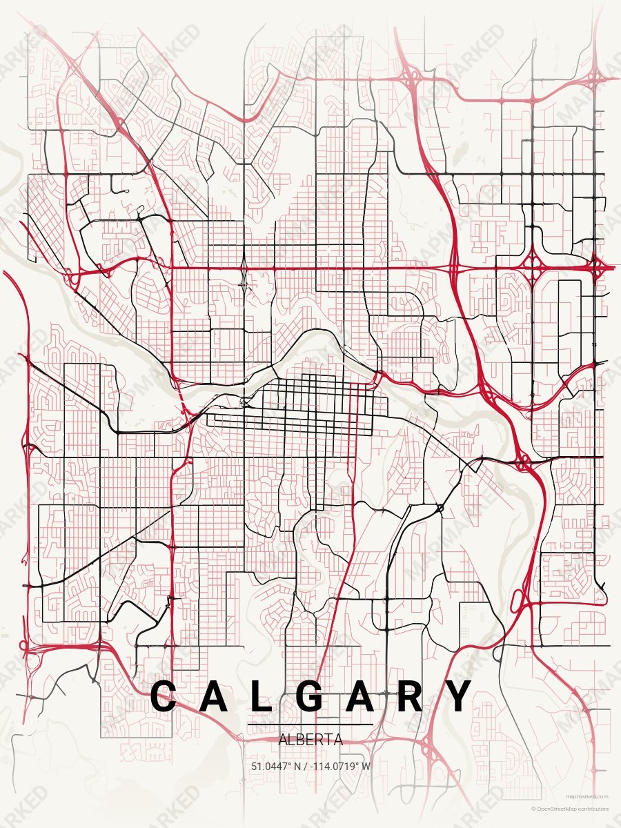
Calgary Ice 6
Clean white base with red primary roads and black accents. A throwback palette for the 1994–2020 era.
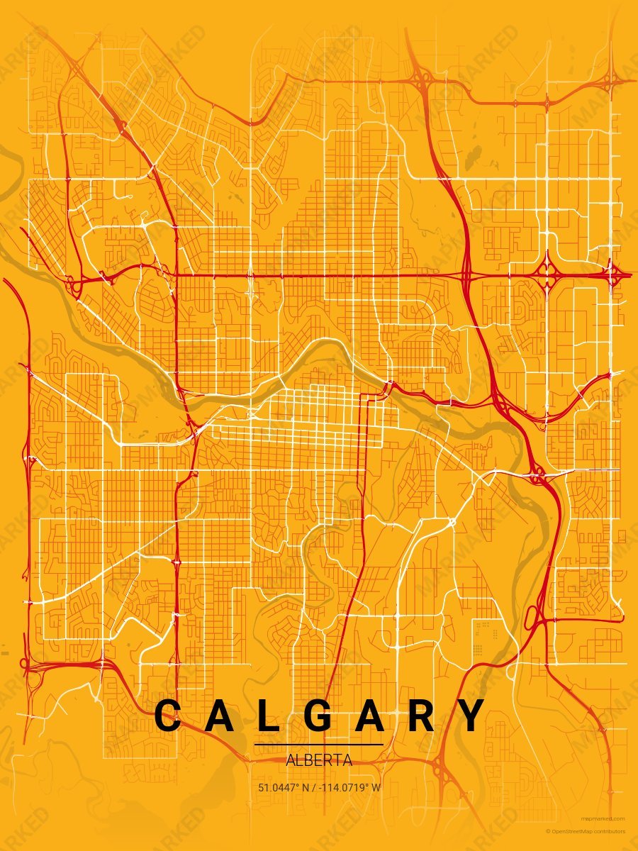
Calgary Ice 2
Yellow base with red primary roads and white accents. A palette for Calgary hockey fans and game-day prints.
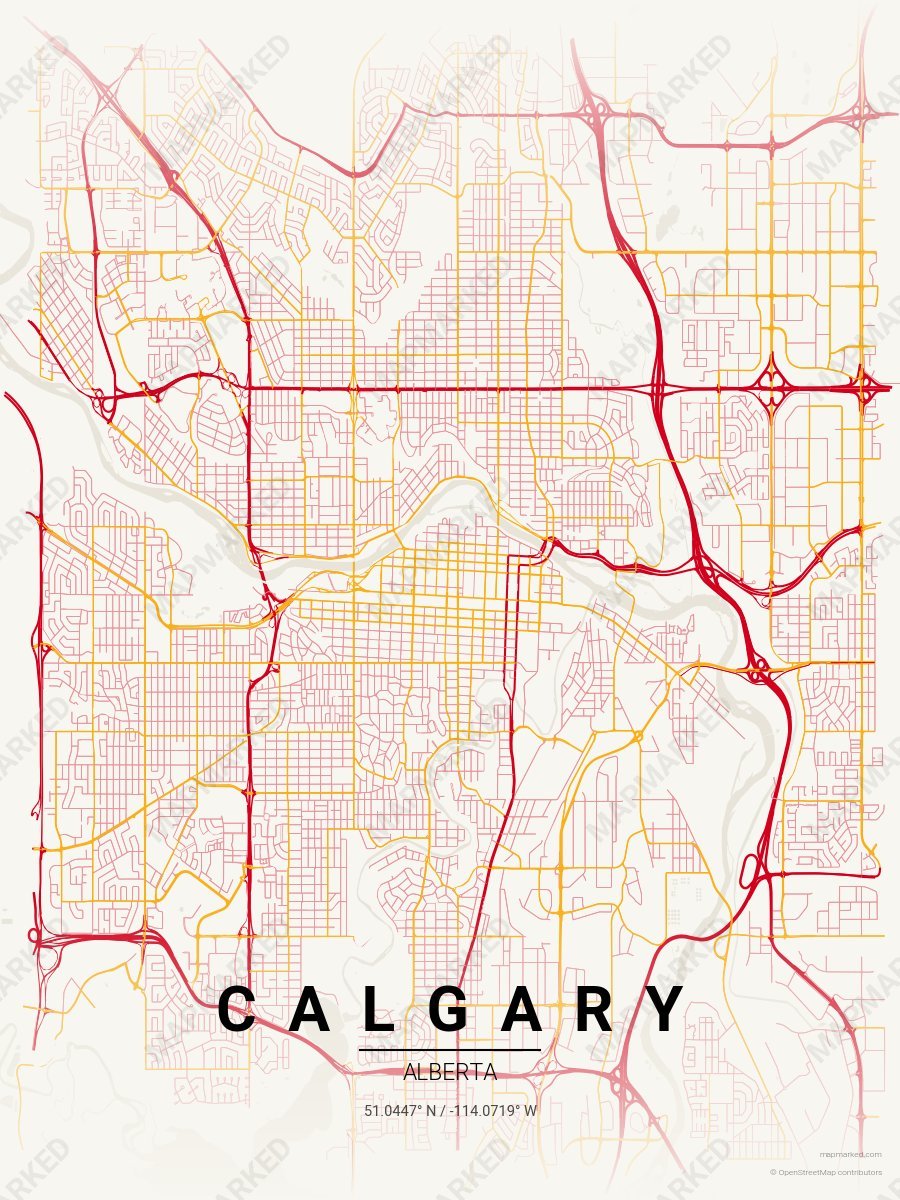
Calgary Ice 3
Clean white base with red primary roads and yellow accents. A palette for Calgary hockey home prints and gallery walls.