Burlington Map Art
Burlington's street grid runs perpendicular to Lake Champlain's eastern shore, with Main Street climbing steeply inland from the waterfront. The city's blocks tighten near the water around the Burlington Bay breakwater, then loosen into a regular grid as elevation increases toward the University of Vermont campus on the hill to the east. The Winooski River forms the northern boundary, creating a distinct geographic pocket between water and rising terrain.
44.4759° N, 73.2121° W
Burlington City Palettes
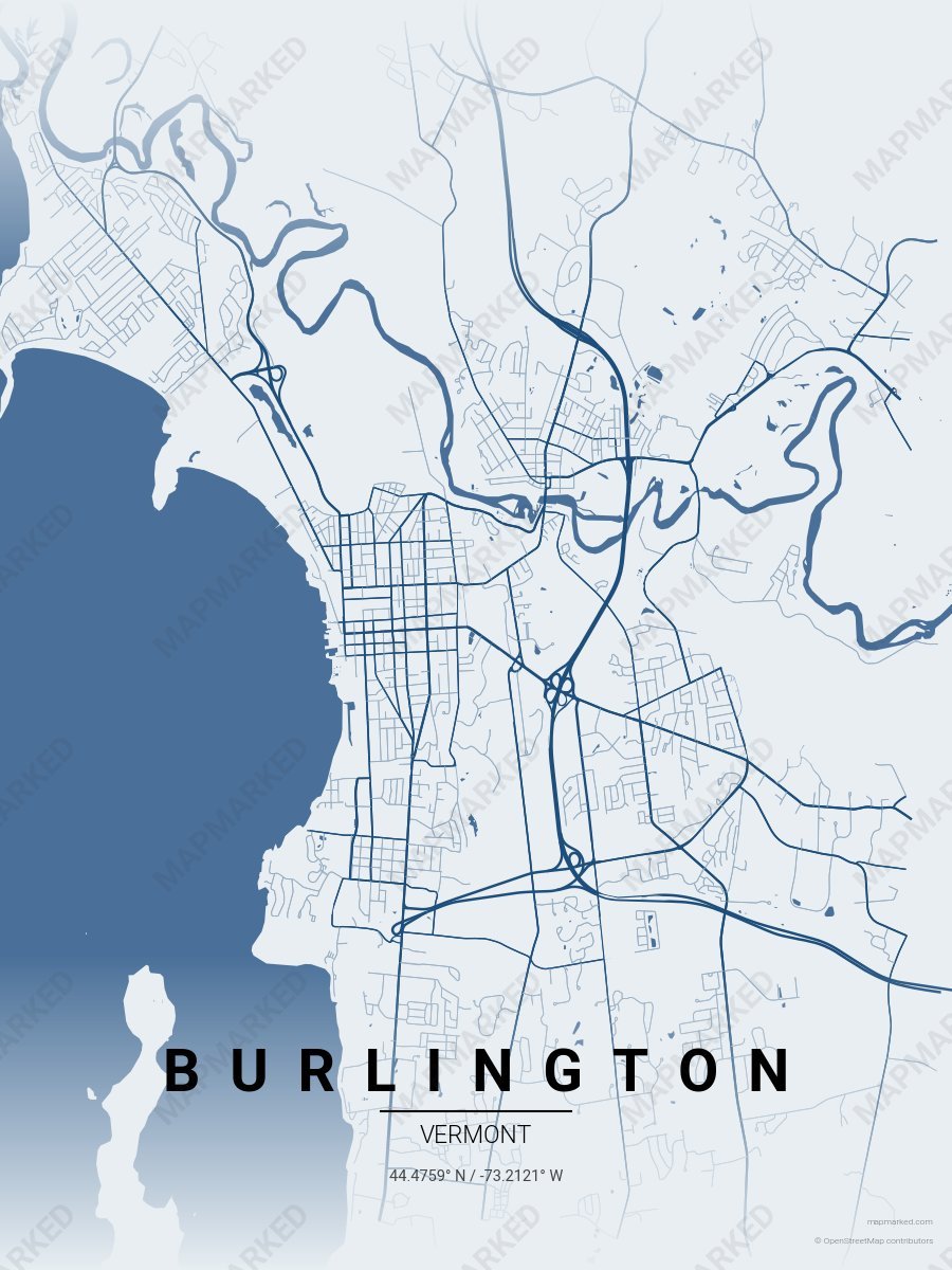
Burlington Lake Champlain
Pale mist base with Lake Champlain navy roads. A palette for Church Street afternoons and Burlington Bike Path mornings.
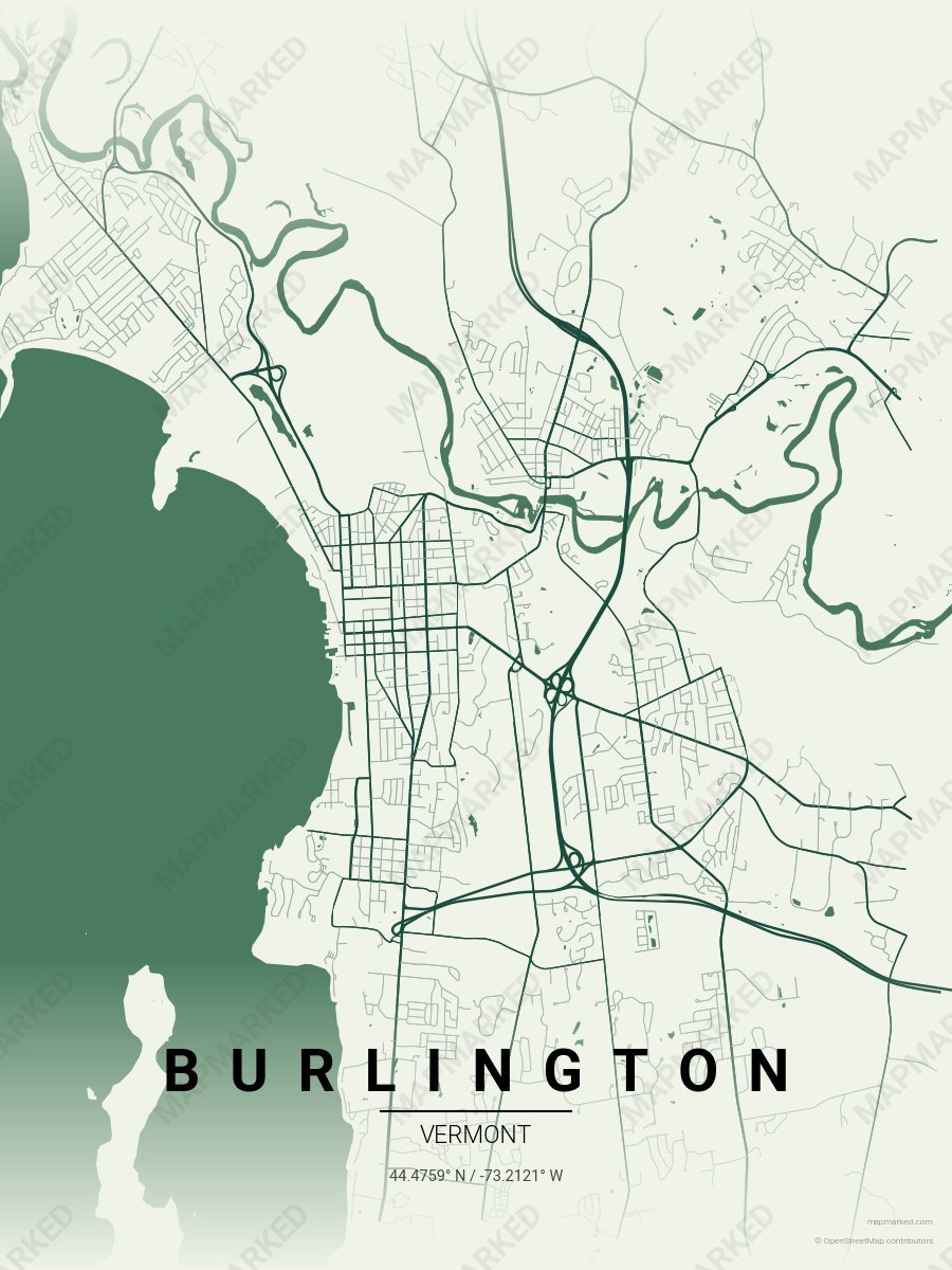
Burlington Green Mountain
Pale cream base with Green Mountain evergreen roads. A palette for Mt. Mansfield drives and Stowe weekend trips.
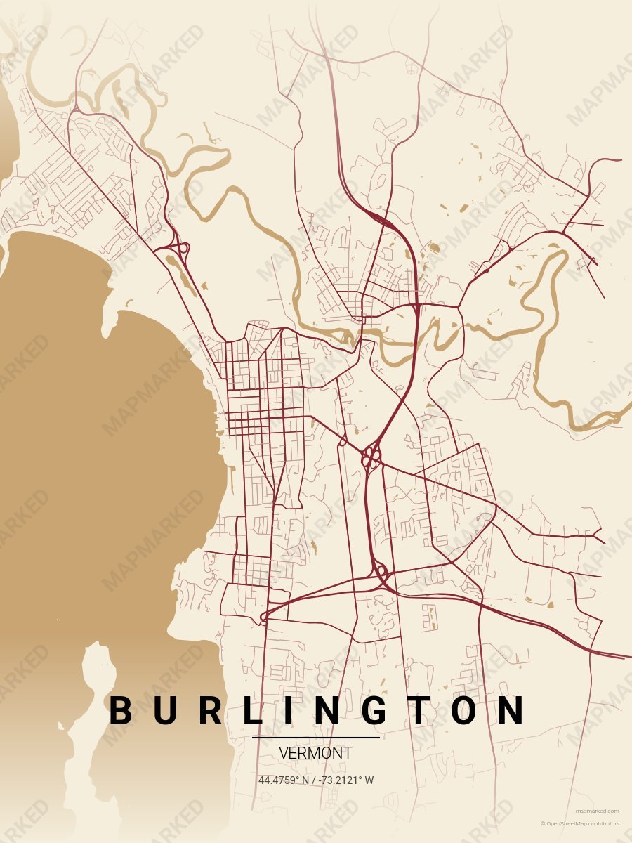
Burlington Maple
Oat cream base with maple red roads. A palette for October leaf-peeping and sugar-shack evenings.
Vermont University Palettes
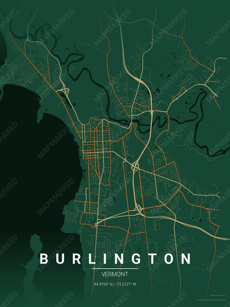
Burlington School Spirit 1
Green base with light brown primary roads and orange accents. A palette for Burlington college sports fans and campus prints.
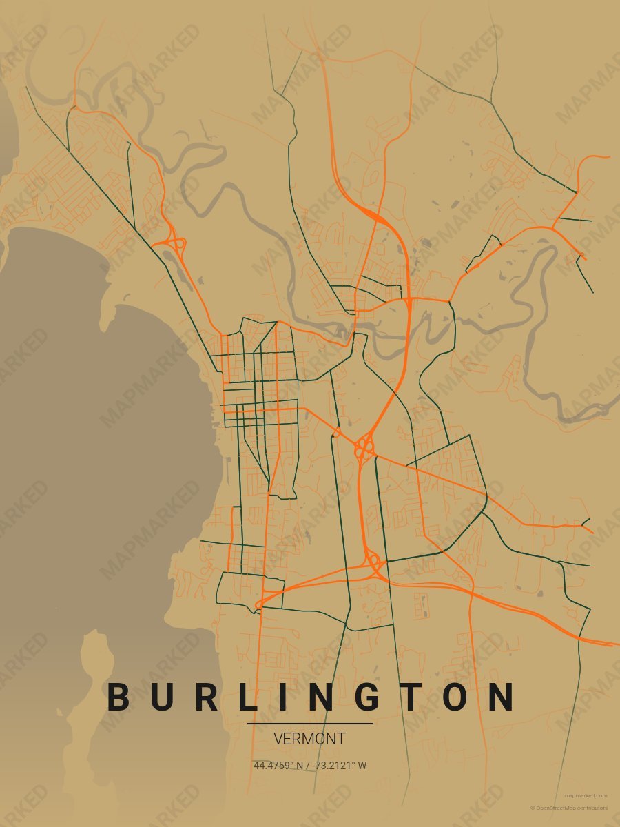
Burlington School Spirit 2
Light brown base with orange primary roads and green accents. A palette for Burlington college sports fans and campus prints.
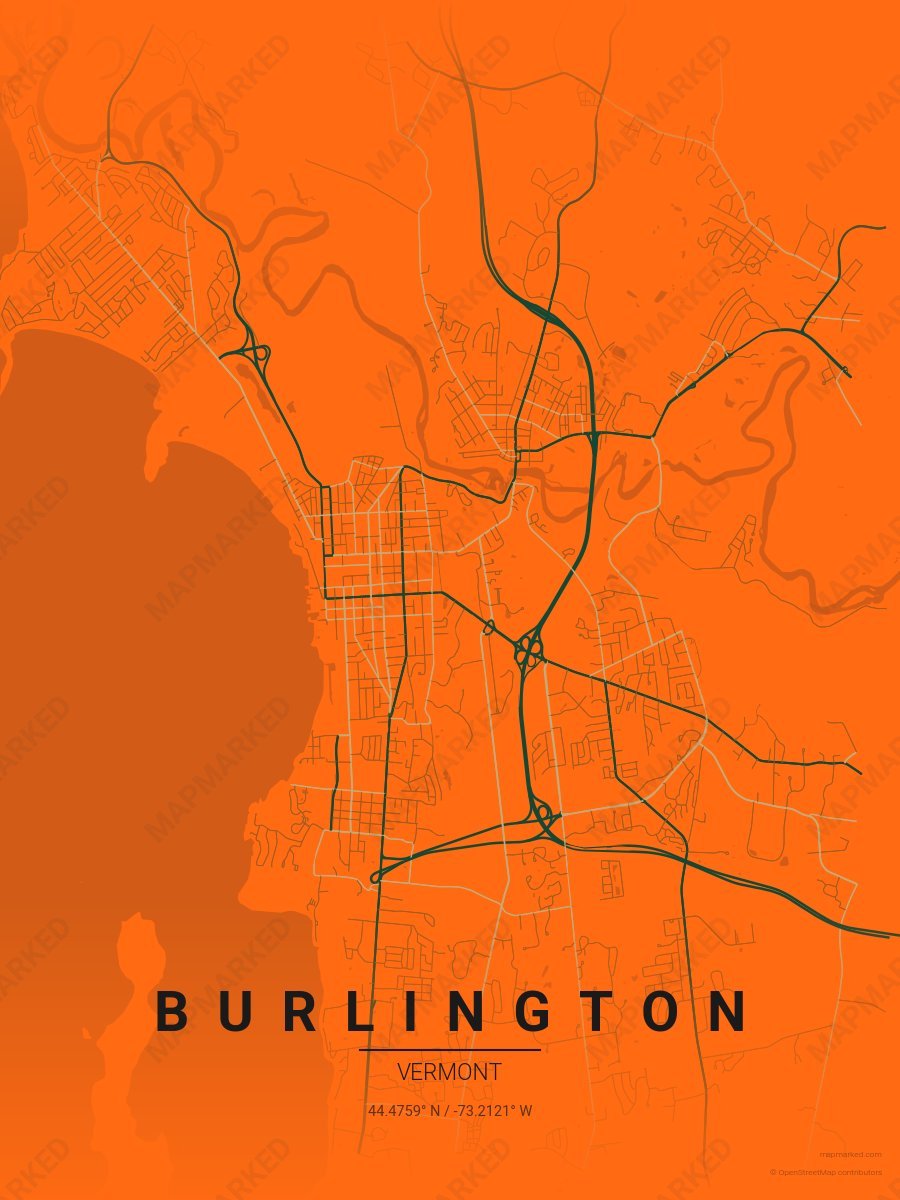
Burlington School Spirit 3
Orange base with green primary roads and light brown accents. A palette for Burlington college sports fans and campus prints.
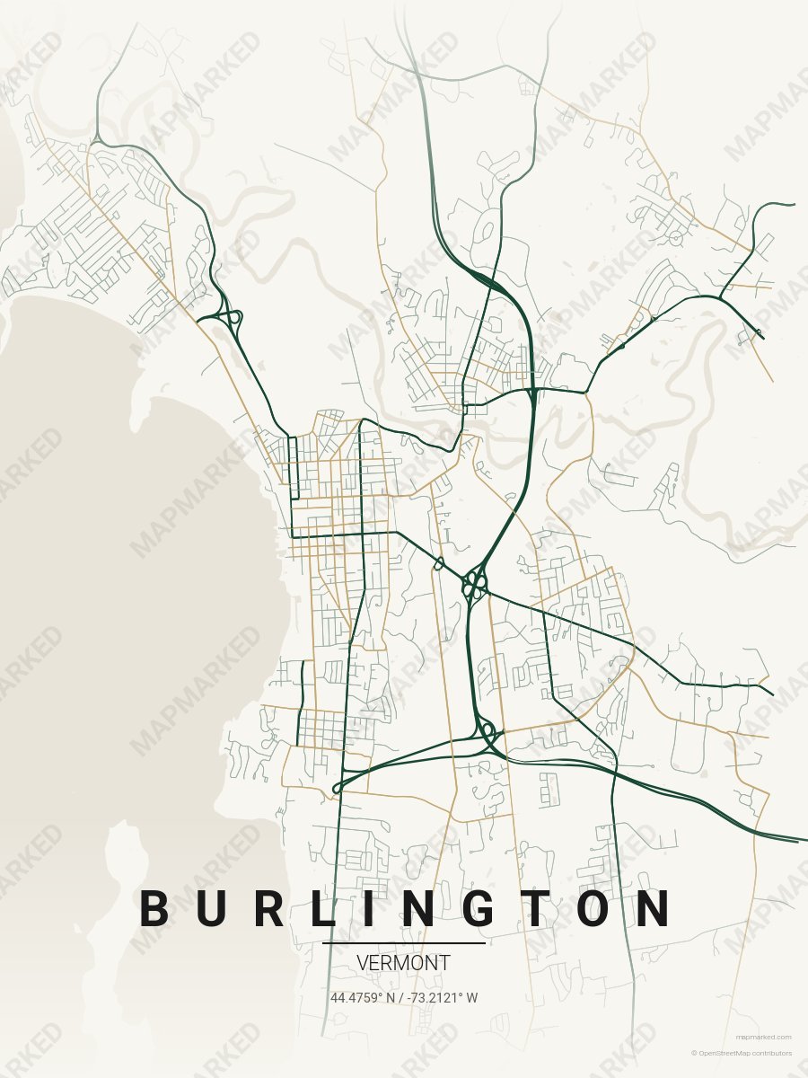
Burlington School Spirit 4
Cream base with green primary roads and light brown accents. A palette for Burlington college sports home prints and campus walls.