Bordeaux Map Art
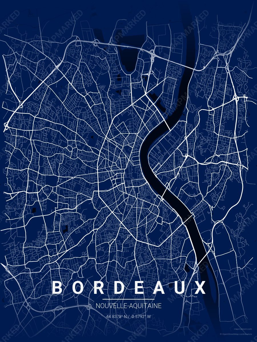
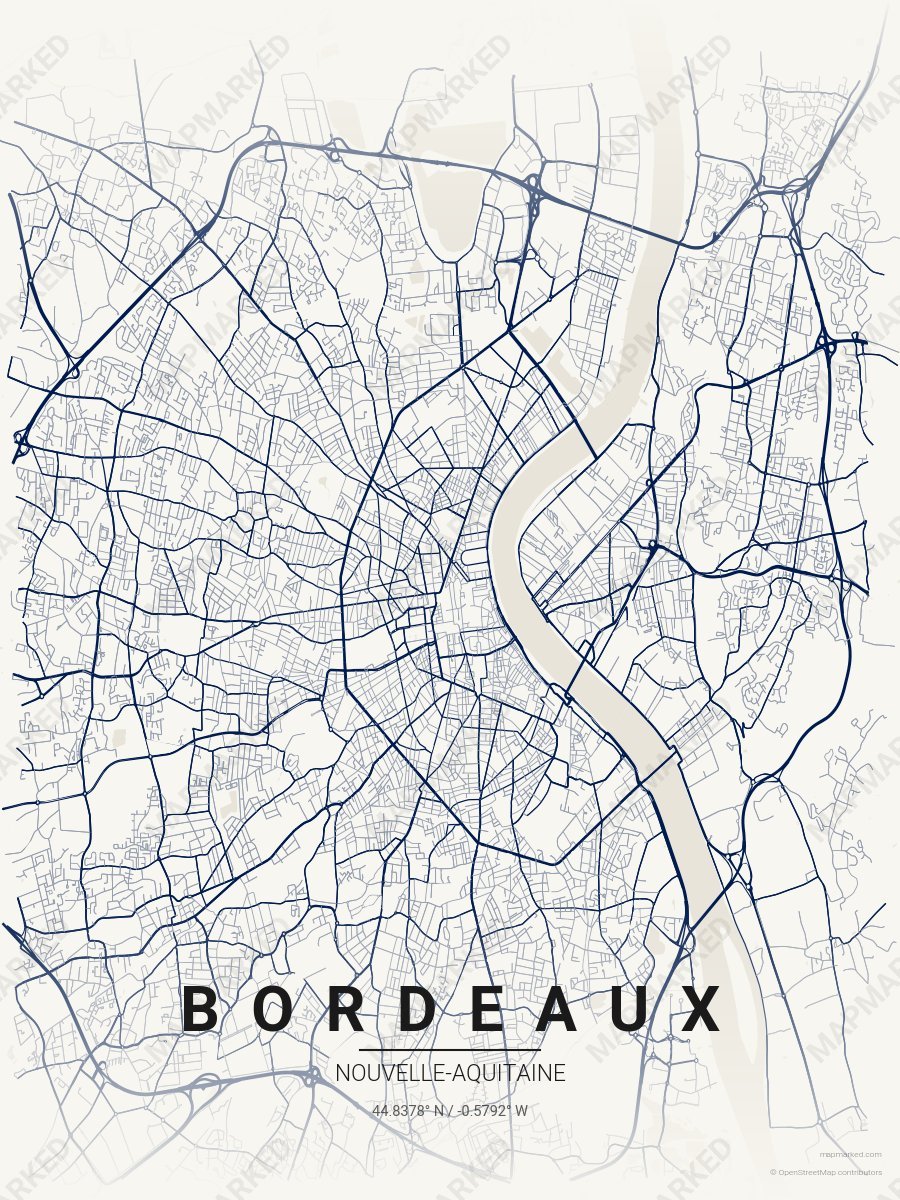
The Garonne River curves through Bordeaux in a dramatic crescent, with the historic Left Bank district tucked into the river's inner arc and the newer Right Bank spreading across flatter ground beyond. Eighteen classical quays line the Left Bank waterfront, forming one continuous esplanade from the Stone Bridge south to the Chartrons district. The medieval street grid radiates inward from Place Pey-Berland, while 18th-century Haussmann-style boulevards cut perpendicular paths through the older fabric.
44.8378° N, 0.5792° W