Boise Map Art
Boise sits in a valley carved by the Boise River, which loops through downtown before flowing northwest toward the Snake River. The city spreads across a grid broken by the foothills of the Boise Range rising steeply to the north, with the ridge line defining a hard edge to development. State Street runs the commercial spine north-south, while the Boise Foothills Preserve forms a green boundary that shapes the entire urban footprint.
43.6150° N, 116.2023° W
Idaho University Palettes
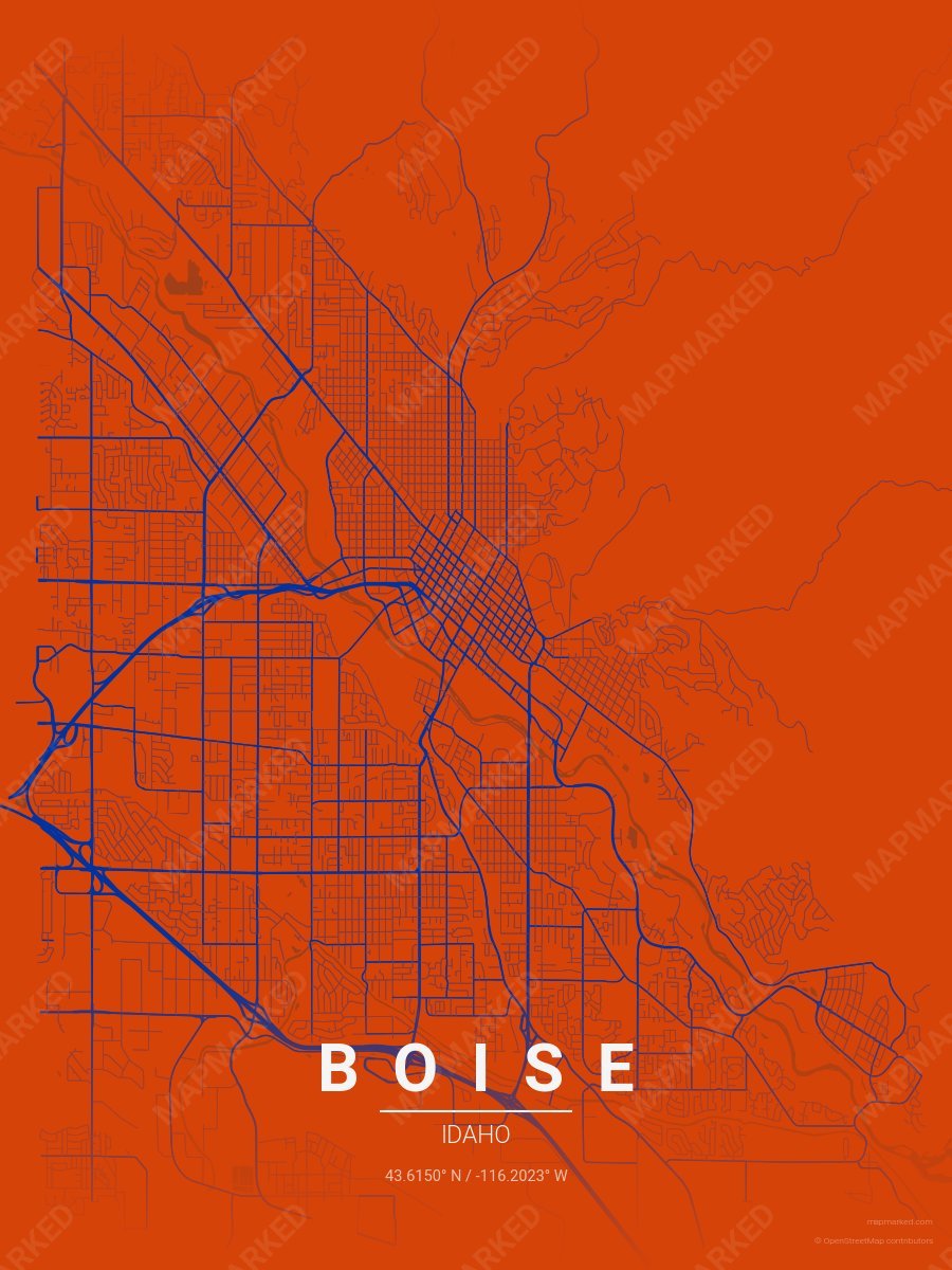
Boise School Spirit 1
Orange base with blue roads. A palette for Boise college sports fans and campus prints.
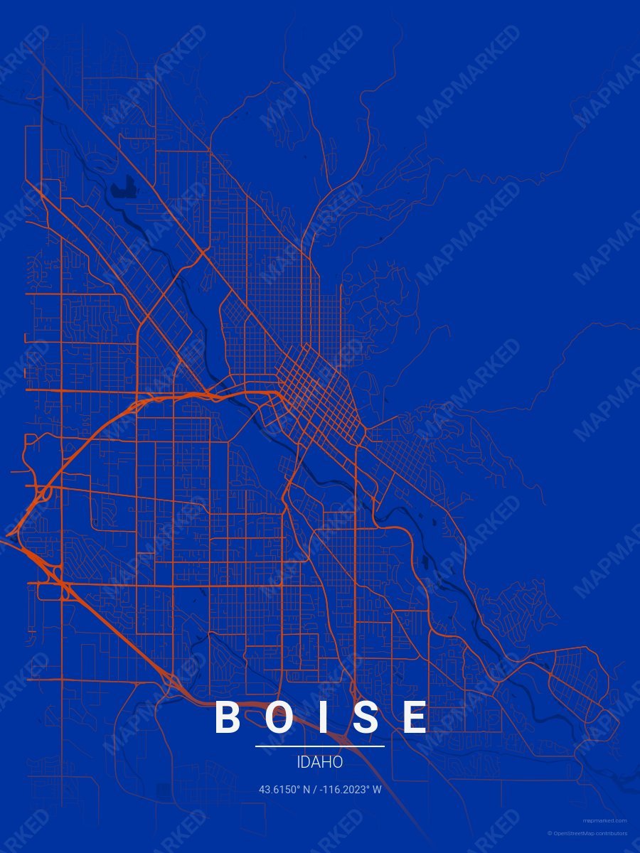
Boise School Spirit 2
Blue base with orange roads. A palette for Boise college sports fans and campus prints.
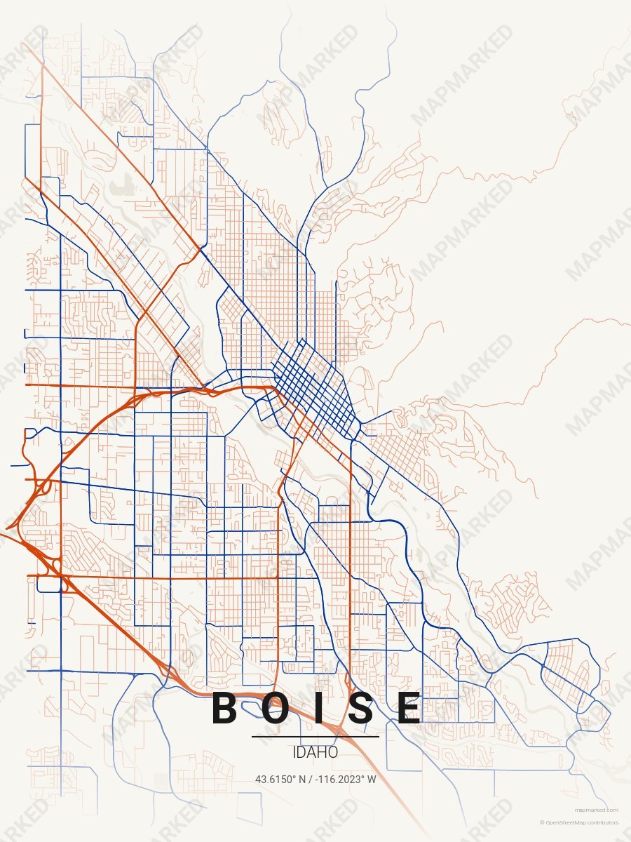
Boise School Spirit 3
Cream base with orange primary roads and blue accents. A palette for Boise college sports home prints and campus walls.

Pocatello School Spirit 1
Orange base with black primary roads and light orange accents. A palette for Pocatello college sports fans and campus prints.

Pocatello School Spirit 2
Black base with light orange primary roads and orange accents. A palette for Pocatello college sports fans and campus prints.

Pocatello School Spirit 3
Light orange base with orange primary roads and black accents. A palette for Pocatello college sports fans and campus prints.

Pocatello School Spirit 4
Cream base with orange primary roads and black accents. A palette for Pocatello college sports home prints and campus walls.

Moscow School Spirit 1
Gold base with gold roads. A palette for Moscow college sports fans and campus prints.

Moscow School Spirit 2
Gold base with gold roads. A palette for Moscow college sports fans and campus prints.

Moscow School Spirit 3
Gold base with gold roads. A palette for Moscow college sports fans and campus prints.

Moscow School Spirit 4
Cream base with gold roads. A palette for Moscow college sports home prints and campus walls.