Berlin Map Art
Berlin's map is bisected by the Spree River, which loops through the city center and feeds the Landwehr Canal, creating islands that anchor Mitte and Tiergarten. The street grid shifts dramatically at the former Wall's trace—East Berlin's Soviet-style avenues (Karl-Marx-Allee, Stalinallee) run perpendicular to West Berlin's more fragmented street patterns, a division still legible in the urban fabric today. Charlottenburg Palace anchors the western edge, while the Müggelsee and Tegeler See bookend the sprawl to the south and north.
52.5200° N, 13.4050° E
Berlin City Palettes
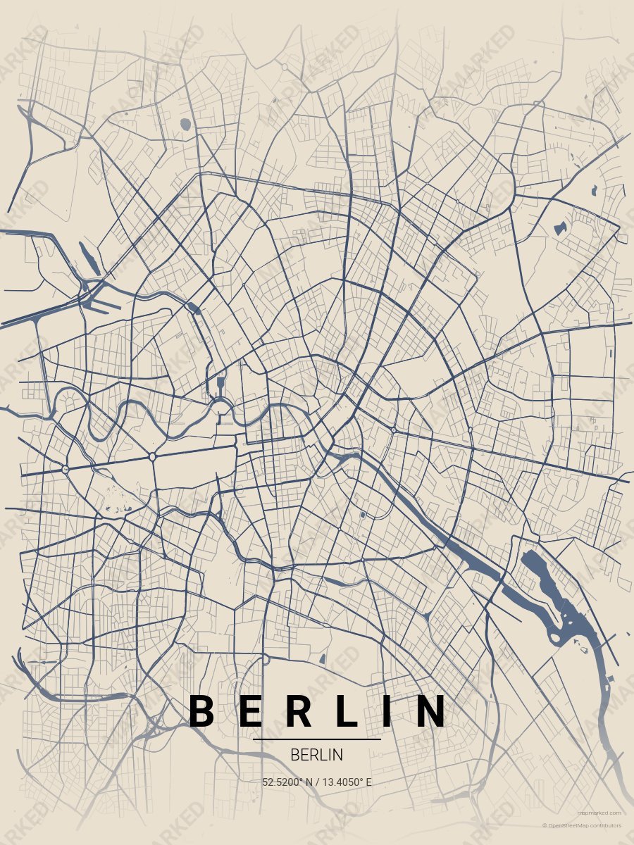
Berlin Brandenburg
Limestone base with Brandenburg stone roads. A palette for Tiergarten mornings and Brandenburg Gate afternoons.
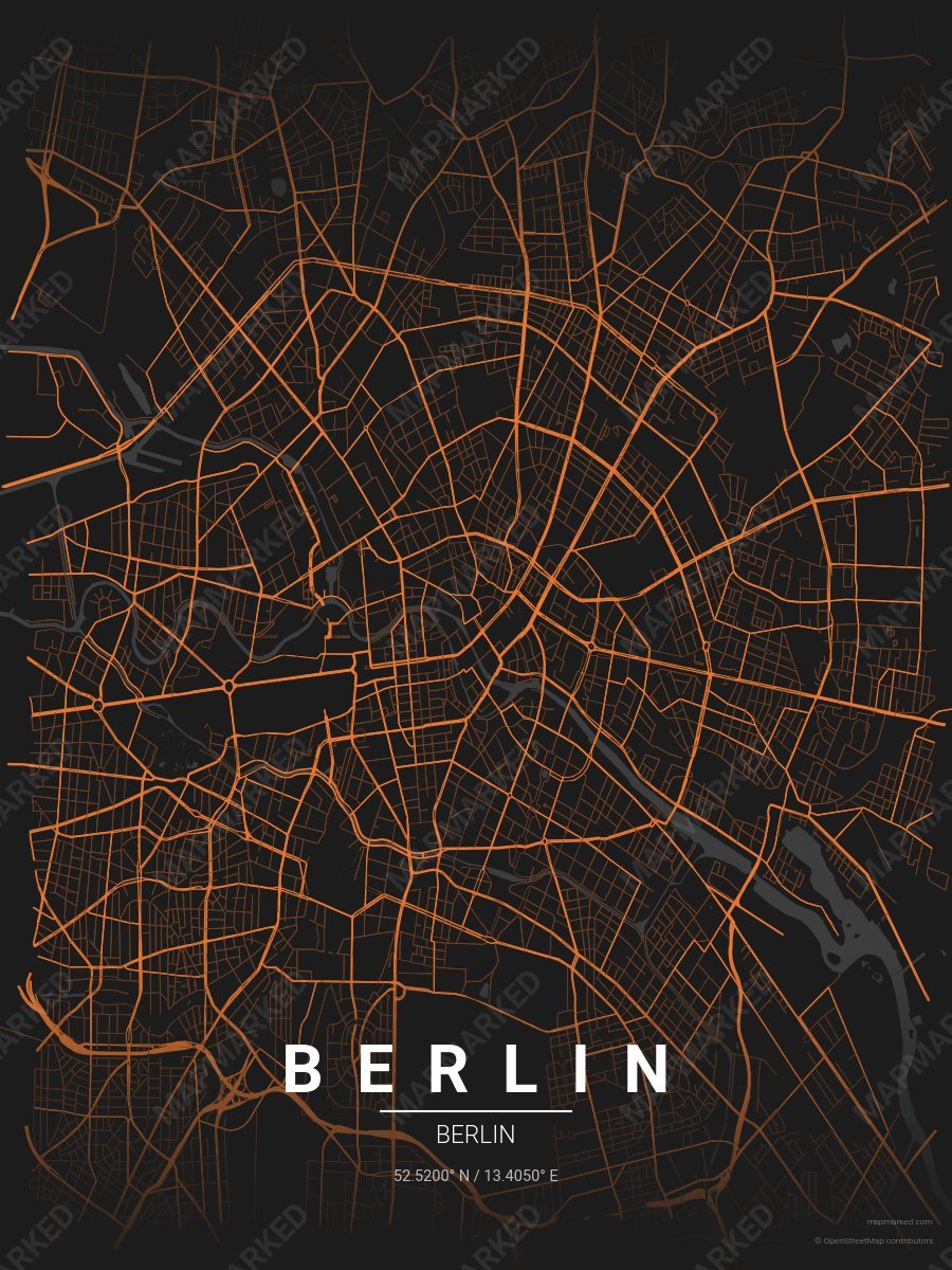
Berlin Currywurst
Charcoal base with currywurst roads. A palette for imbiss lunches and late-night U-Bahn evenings.
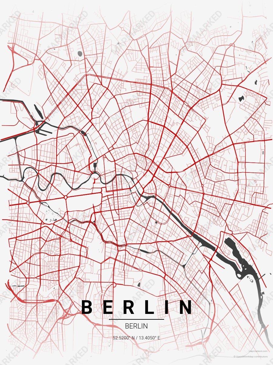
Berlin Wall Mural
Pale silver base with East Side Gallery roads. A palette for Mauerpark afternoons and Kreuzberg evenings.
Berlin Sports Palettes
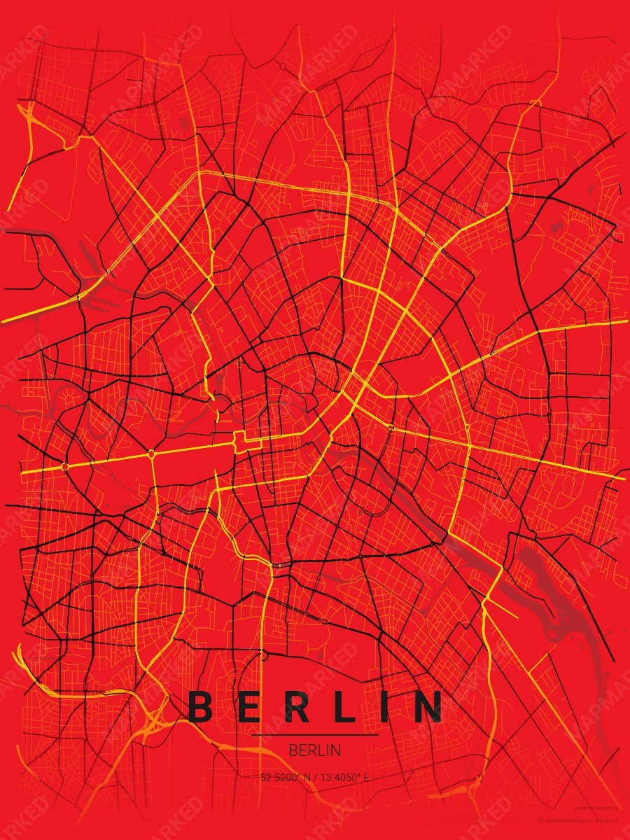
Berlin Soccer 1
Red base with yellow primary roads and black accents. A palette for Berlin German soccer fans and game-day prints.
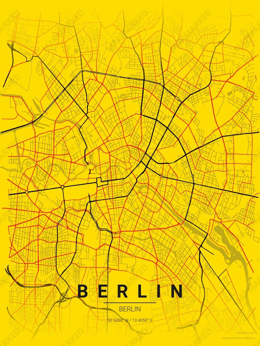
Berlin Soccer 2
Yellow base with black primary roads and red accents. A palette for Berlin German soccer fans and game-day prints.
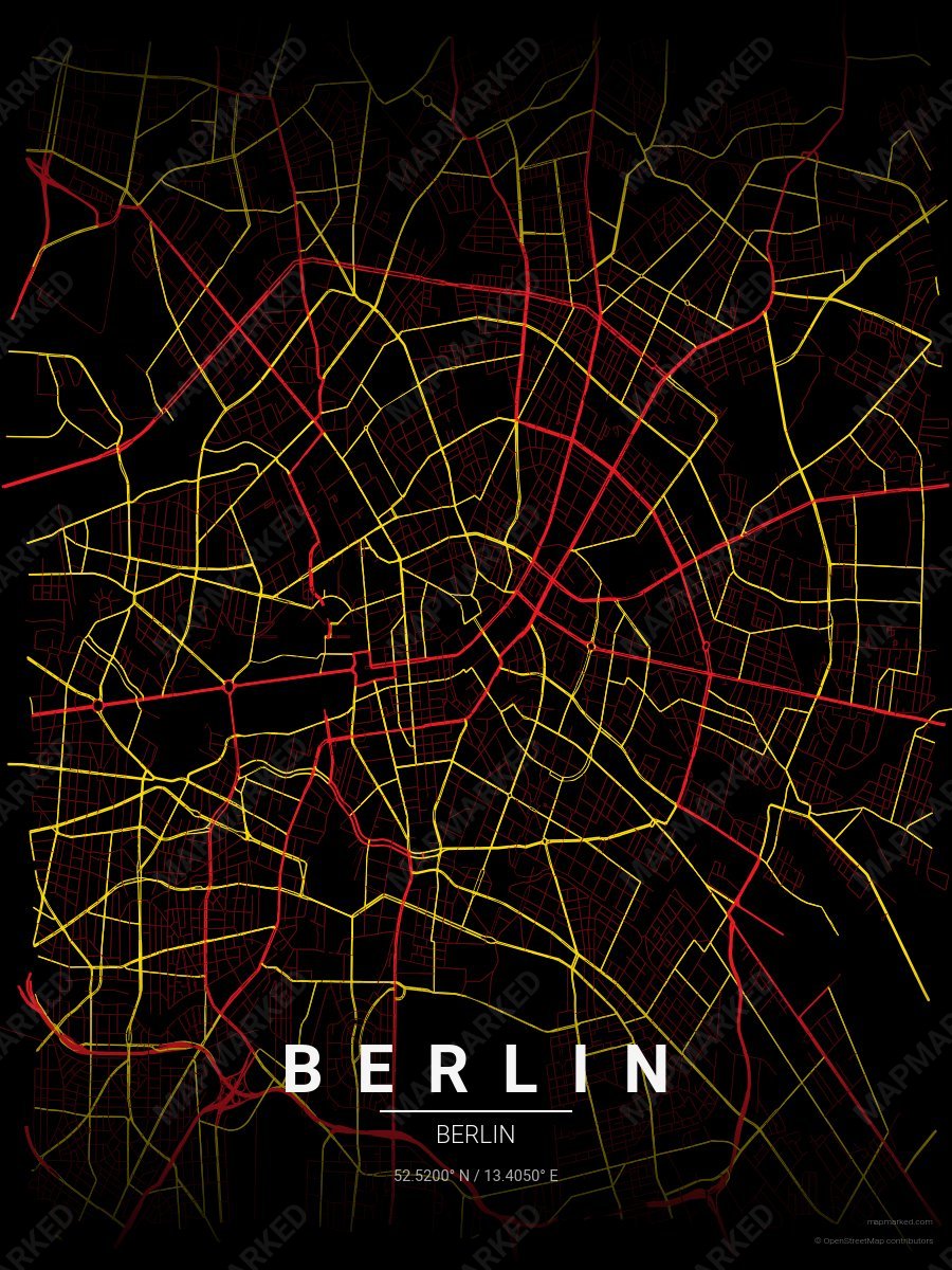
Berlin Soccer 3
Black base with red primary roads and yellow accents. A palette for Berlin German soccer fans and game-day prints.
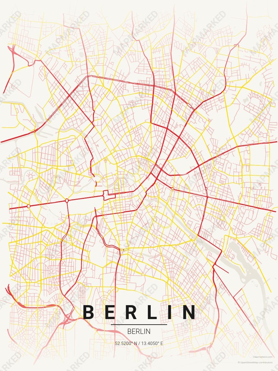
Berlin Soccer 4
Cream base with red primary roads and yellow accents. A palette for Berlin German soccer home prints and gallery walls.
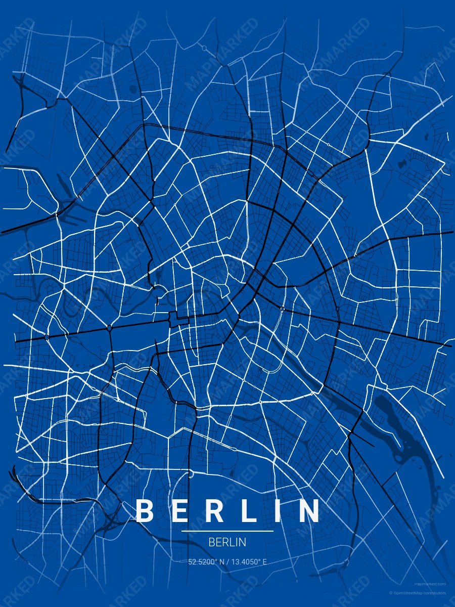
Berlin Soccer 5
Blue base with black primary roads and white accents. A palette for Berlin German soccer fans and game-day prints.
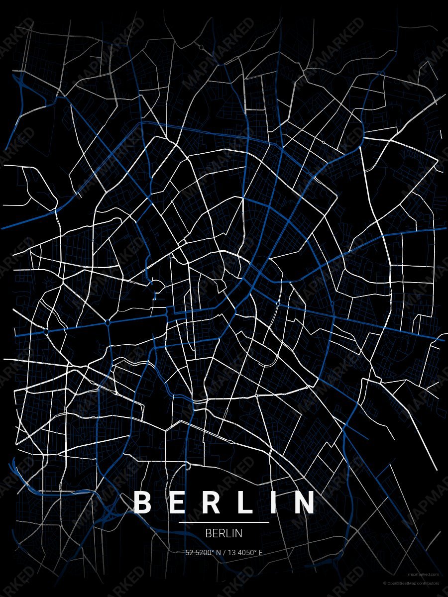
Berlin Soccer 6
Black base with blue primary roads and white accents. A palette for Berlin German soccer fans and game-day prints.
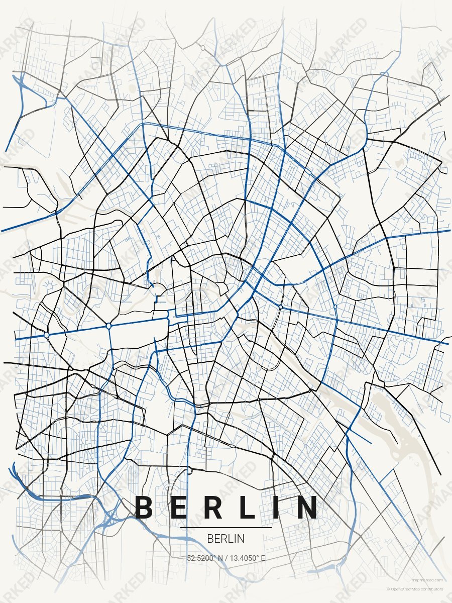
Berlin Soccer 7
Cream base with blue primary roads and black accents. A palette for Berlin German soccer home prints and gallery walls.